
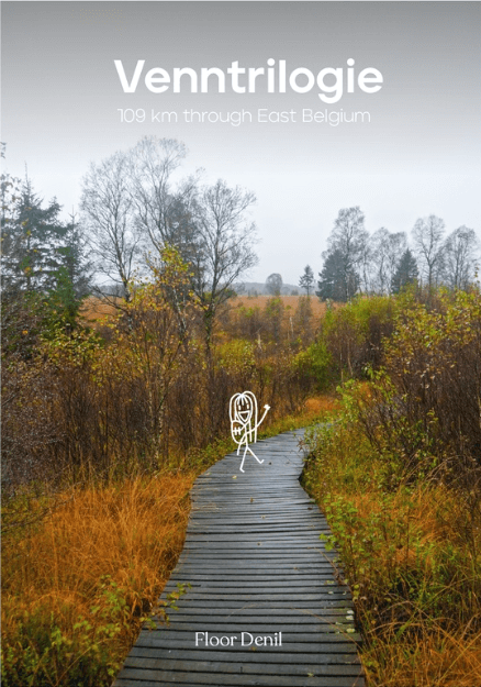
Wandelgids Venntrilogie Oost-België (ENG. versie) - Floor Denil
From the Drielandenpunt Eynatten tot Robertville - Butgenbach
Korte omschrijving
Wandelgidsen Ardennen, België, Wallonië, België en Luxemburg (Provincie) van Floor Denil. Ideaal voor tochten in België.
The Venntrilogie Oost-België (ENG. versie) - Floor Denil Productomschrijving: “When I think about a multiple day hike, my mind immediatly imagines far away landscapes, expansive mountain ra...

Specificaties
- Uitgever: Floor Denil
- ISBN-13: 9789083485034
- HOOFDCATEGORIEËN: Wandelgids
- Activiteiten: Wandelen, Hiking & Trekking
- Auteur: Floor Denil
- Regio: Ardennen, België, Luxemburg (Provincie), Wallonië, België
- Land: België
- Lange afstand wandelroutes: Venntrilogie, Oost-België (109 km)
- Editie: 1
- Taal: Engels
- Reeks/Serie: Floor Denil Hiking
- De Belgische Ardennen: Belgisch Eifel, Hoge Venen (Oostkantons), Ôsling, Luxemburgse Ardennen
Volledige omschrijving
The Venntrilogie Oost-België (ENG. versie) - Floor Denil
Productomschrijving: “When I think about a multiple day hike, my mind immediatly imagines far away landscapes, expansive mountain ranges and remote nature reserves in which I can be away from the world for days. Who tought that an adventure like that could be found closer to home - right here, in Belgium! Meet Venntrilogie: a six-day-long hike through the Eastern corners of Belgium. A hidden gem? In my experience at least, it was awesome to discover!
Jihaa, a lightweight hiking guide ofVenntrilogie! This multi-day hike in East-Belgium is an ideal destination for hikers that want to emerse themselves in forests and fields, and at the same time, want to enjoy the luxury in the villages along the way. The content of this guide is based on my own experience on the hike, with some fun personal touches. v
The content contains:
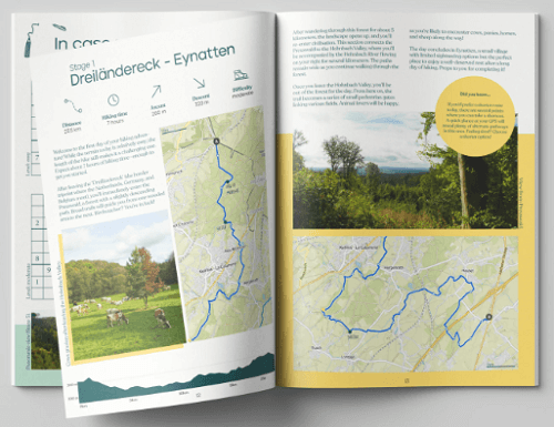
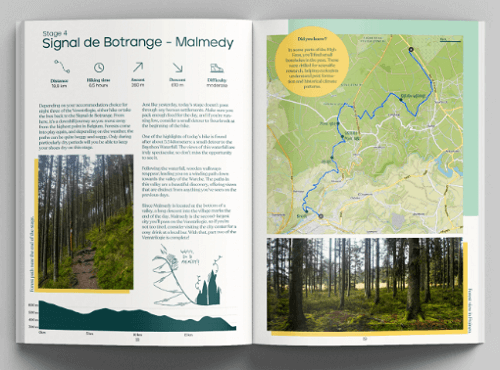
- A day-tot-day overview of the hike
– Overview maps per day
– Heightprofiles for each day
- An onverview of the facilities in each village
- An overview of the contact information of B&B’s/hotels/hostels/campings… in each village
– Useful tips I would like to have had
- QR-codes with more information about the hike ( e.g.: what do you pack?)
– Sudokus (cannot go without ofcourse)
- And abviously a lot more… ??
Etappes;
Etappe 1 : Drielandenpunt Eynatten
Etappe 2 : Eynatten Eupen
Etappe 3 : Eupen Botrange
Etappe 4 : Botrange Malmedy
Etappe 5 : Malmedy Robertville
Etappe 6 : Robertville Butgenbach
%20-%20Bibliotrek.png)

Artikelen uit dezelfde regio
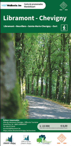
Wandelkaart Libramont-Chevigny - NGI • 9789462356986
Wandelkaart Libramont-Chevigny - NGI Productomschrijving: De gloednieuwe wandelkaart van de wijde omgeving van Libramont & Chevigny. Omvat: Libramont-Chevigny - Recogne- Freux- Remagne- Bras- Vesqueville- Hartival & Moircy. Topografische kaart met: - Alle mogelijke Wandelwegen
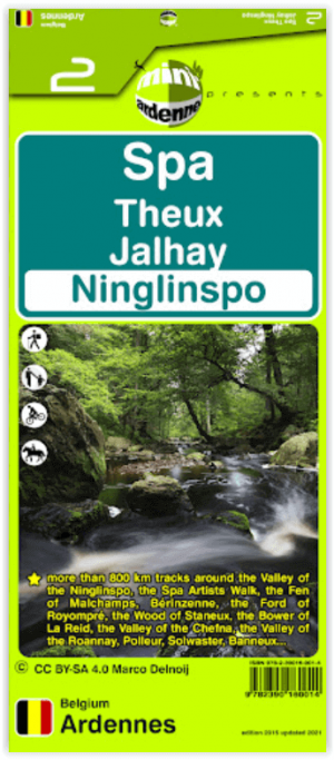
Wandelkaart 02 Spa Ardennen België - Mini-Ardenne • 9782390160014
Wandelkaart 2 - Spa Ardennen België - Mini-Ardenne 820km wandelingen Productomschrijving: De wandelkaarten van Mini-Ardenne zijn volledig nieuw en op schaal 1/25000. De kaarten doen u lopen in een netwerk van honderden kilometers aan wandel-, fiets- en ruiterspaden. Door het gebruik van knooppunten (elk knooppunt is gelinkt aan een plaats), kunnen zowel de beginnende als de gevorderd…

TOPO Wandelkaart 67-70 Bouillon - NGI • 9789462355682
TOPO Wandelkaart 67-70 - Bouillon - NGI Productomschrijving: Wandelkaart Bouillon en omgeving, gelegen tegen de Franse grens, is een Belgisch stadje gelegen in de provincie Luxemburg. De gemeente maakt deel uit van het arrondissement Neufchâteau. Bouillon wordt gedomineerd door de middeleeuwse burcht van Godfried van Bouillon. Deze is een TOPO50 reeks, of een kaart met schaal 1:50.000, Top…
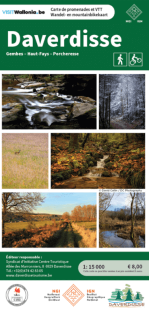
Wandelkaart & Mountainbikekaart Daverdisse - NGI • 9789462357037
Wandelkaart & Mountainbikekaart Daverdisse - NGIB Productomschrijving: Deze kaart omvat alle wandelroutes dat de omgeving van Daverdisse en de omliggende bossen te bieden hebben. Eveneens vindt u er de mountainbikeroutes op. Omvat: Daverdisse, Gembes, Haut-Fays, Porcheresse Topografische kaart met: - Wandelwegen, en bewegwijzerde wandelingen - Mountainbike, en bewegwijzerde mou…
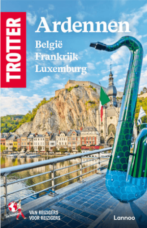
Reisgids Ardennen België, Frankrijk & Luxemburg - Trotter • 9789401499941
Ardennen België, Frankrijk & Luxemburg - Trotter reisgidsen Productomschrijving: De onmisbare gids voor echte trotters. Een must voor elke reiziger die de ARDENNEN echt wil beleven - Het echte verhaal achter de klassieke trekpleisters - Tips om de verborgen parels buiten de platgetreden paden te verkennen - Verrassende anekdotes en topervaringen van Trotter - Honderden budgetvri…