
Wandelgids Touraine centre à pied - Ed. Chamina
20 wandelingen ontworpen om toeristische schatten te ontdekken

Korte omschrijving
Wandelgidsen Centre Val de Loire, Frankrijk van Chamina édition. Ideaal voor tochten in Frankrijk.
Wandelgids - Touraine centre à pied - Ed. Chamina Productomschrijving: Het departement Indre-et-Loire komt bijna volledig overeenkomt met de voormalige provincie van Touraine. In dit Franse ...

Specificaties
- Uitgever: Chamina édition
- ISBN-13: 9782844665928
- HOOFDCATEGORIEËN: Wandelgids
- Activiteiten: Wandelen, Hiking & Trekking
- Regio: Centre Val de Loire, Frankrijk
- Land: Frankrijk
- Departement: Indre-et-Loire (37)
- Taal: Frans
- De Franse Regio's: Centre-val-de-Loire
Volledige omschrijving
Wandelgids - Touraine centre à pied - Ed. Chamina
Productomschrijving: Het departement Indre-et-Loire komt bijna volledig overeenkomt met de voormalige provincie van Touraine. In dit Franse departement met hoge toeristische mogelijkheden is louter toe te schrijven aan de activa landschap, erfgoed en cultuur van eerste keuze. 20 wandelingen in deze gids zijn ontworpen om de toeristische schatten te ontdekken
Franse omschrijving: Le département d’Indre-et-Loire correspond presque entièrement à l’ancienne province de Touraine, il compte 600.000 résidents permanents et se place parmi les départements français à fort potentiel touristique en raison d’atouts paysagers, patrimoniaux et culturels de premier choix. Les 20 balades de l’ouvrage ont été conçues pour découvrir ces richesses touristiques.
Le territoire concerné: Le département d’Indre-et-Loire correspond presque entièrement à l’ancienne province de Touraine, il compte 600.000 résidents permanents et se place parmi les départements français à fort potentiel touristique en raison d’atouts paysagers, patrimoniaux et culturels de premier choix.
Les 20 balades de l’ouvrage ont été conçues pour découvrir ces richesses touristiques :
- La Loire, patrimoine mondial de l’UNESCO
- La Touraine, jardin de la France
- Les châteaux de la Loire
- La vigne et le vin
- Le cœur historique de Tours
Le guide:
• 48 pages
• Format pratique : 12 x 21 cm
• Introduction générale avec présentation du territoire (plusieurs thèmes développés qui enrichissent la connaissance des sites traversés)
• 20 itinéraires de 2h00 à 5h00 pour une pratique familiale, incluant une découverte pittoresque du cœur historique de Tours
• Cartographie sur fond IGN au 1 : 25 000 pour se repérer facilement
• Détail des centres d’intérêts
• Renseignements pratiques pour randonner en toute sécurité
• Adresses utiles.
Locatie op kaart
Artikelen uit dezelfde regio
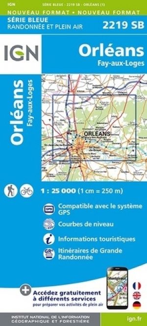
Wandelkaart 2219 SB Orléans & Jargeau - IGN • 9782758547068
Wandelkaart Orléans & Jargeau - IGN Productomschrijving: Orléans & Jargeau zijn Franse stad en deelgemeete, in het centrum van Frankrijk, de hoofdstad van het departement van Loiret en van de regio Centre-Val de Loire. Orleans is geclassificeerd als "Stad van Kunst en Geschiedenis" en is de toegangspoort tot de natuurlijke omgeving van de Sologne, in de buurt van de vlakten van Beauce, in…

Wandelkaart 1723 ET Chinon- Langeais & Azay-le-Rideau - IGN • 9782758555360
Wandelkaart Chinon- Langeais & Azay-le-Rideau - IGN Productomschrijving: Deze kaart omvat de topografische omgeving van het Parc naturel Régional du Loire-Anjou-Touraine in Frankrijk. Het park ligt in de regio van Centre-val-de-Loire, een regio vol castelen en rustig leven. Bestreken gemeenten: Chinon, Crissay-sur-Manse, Savonnières, Huismes, Benais, La Chapelle-sur-Loire, Restigné, L…

Wandelkaart 2224 SB Vatan & Chârost - IGN • 9782758533269
Wandelkaart 2224 SB - Vatan & Chârost Productomschrijving: Deze topografische kaarten hebben een zeer nauwkeurige gronddetail, niet te vergeten de topografische hoogteprofielen, die het wandelen een stuk gemakkelijker maken. Vatan is een gemeente in het Franse departement Indre (regio Centre). De plaats maakt deel uit van het arrondissement Issoudun en ligt langs de Franse autosnelweg A20…

Wandelkaart 2323 SB St-Martin-D'Auxigny & Foëcy - IGN • 9782758534181
Wandelkaart 2323 SB - St-Martin-D'Auxigny & Foëcy Productomschrijving: Deze topografische kaarten hebben een zeer nauwkeurige gronddetail, niet te vergeten de topografische hoogteprofielen, die het wandelen een stuk gemakkelijker maken. Saint-Martin-d'Auxigny is een gemeente in het Franse departement Cher (regio Centre). De plaats maakt deel uit van het arrondissement Bourges. Descipt…
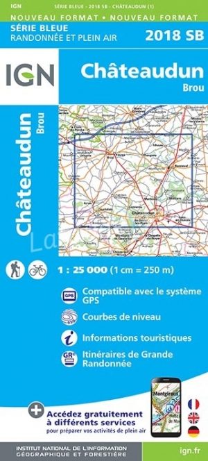
Wandelkaart 2018 SB Châteaudun & Brou - IGN • 9782758537137
Wandelkaart 2018 SB - Châteaudun & Brou Productbeschrijving: Châteaudun & Brou zijn gemeentes in het Franse departement Eure-et-Loir, regio Centre. De plaats maakt deel uit van het arrondissement Châteaudun. Op korte afstand van het PNR du Perche, is dit de perfecte uitvalsbasis voor wandelaars die van bossen kunnen genieten. Tussen 2014 en 2018, worden alle SERIE BLUE kaarten in de collec…