

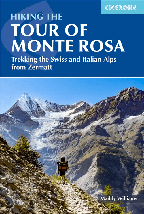
Wandelgids Tour of the Monte Rosa - Cicerone
Through the Swiss and Italian Alps - 174 Km
Korte omschrijving
Wandelgidsen Wallis en Zermatt, Zwitserland van CICERONE Press. Ideaal voor tochten in Italië en Zwitserland.
Hiking the tour of the Monte Rosa - Cicerone Productomschrijving: Guidebook to hiking the Tour of Monte Rosa (TMR) through the Swiss and Italian Alps. This 174km (108 mile) circular trek is...

Specificaties
- Uitgever: CICERONE Press
- ISBN-13: 9781786312662
- HOOFDCATEGORIEËN: Wandelgids
- Activiteiten: Wandelen, Hiking & Trekking
- Regio: Wallis, Zermatt, Zwitserland
- Land: Italië, Zwitserland
- Toepasselijke bergketen: Monte Rosa, Wallis Zwitserland - Grens Italië
- Editie: 1
- Taal: Engels
- Iconische Bergketens van Europa: De Monte Rosa, Zwitserland
Volledige omschrijving
Hiking the tour of the Monte Rosa - Cicerone
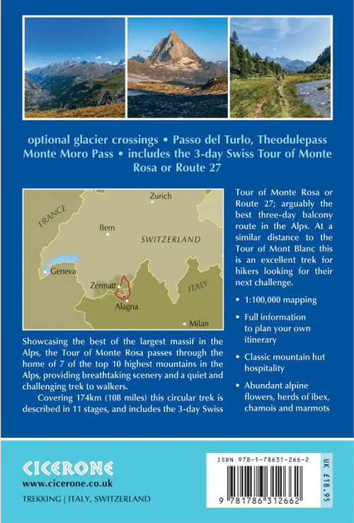
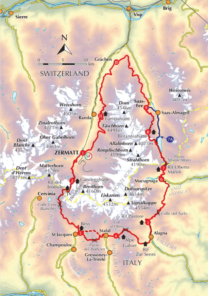
Productomschrijving: Guidebook to hiking the Tour of Monte Rosa (TMR) through the Swiss and Italian Alps. This 174km (108 mile) circular trek is a challenging alternative to the Tour du Mont Blanc, giving experienced trekkers the chance to explore some of the highest and most spectacular mountain scenery in the Alps.
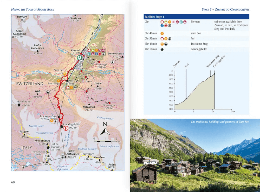
Described in 11 daily stages of between 7.5 and 22km (4.5–13.5 miles), with one alternative stage and two optional glacier crossings, the route includes several iconic alpine passes.
- GPX files available to download
- 1:100,000 maps included for each stage
- Handy route summary tables help you plan your itinerary
- Refreshment and accommodation information given for each trek stage
- Advice on planning and preparation
Seasons:
With the trail going above 3000m on several occasions, this route is best from July to mid-September. Expect plenty of snow on the ground in June and early July. Some mountain huts are only open in late June, closing early September.
Centres:
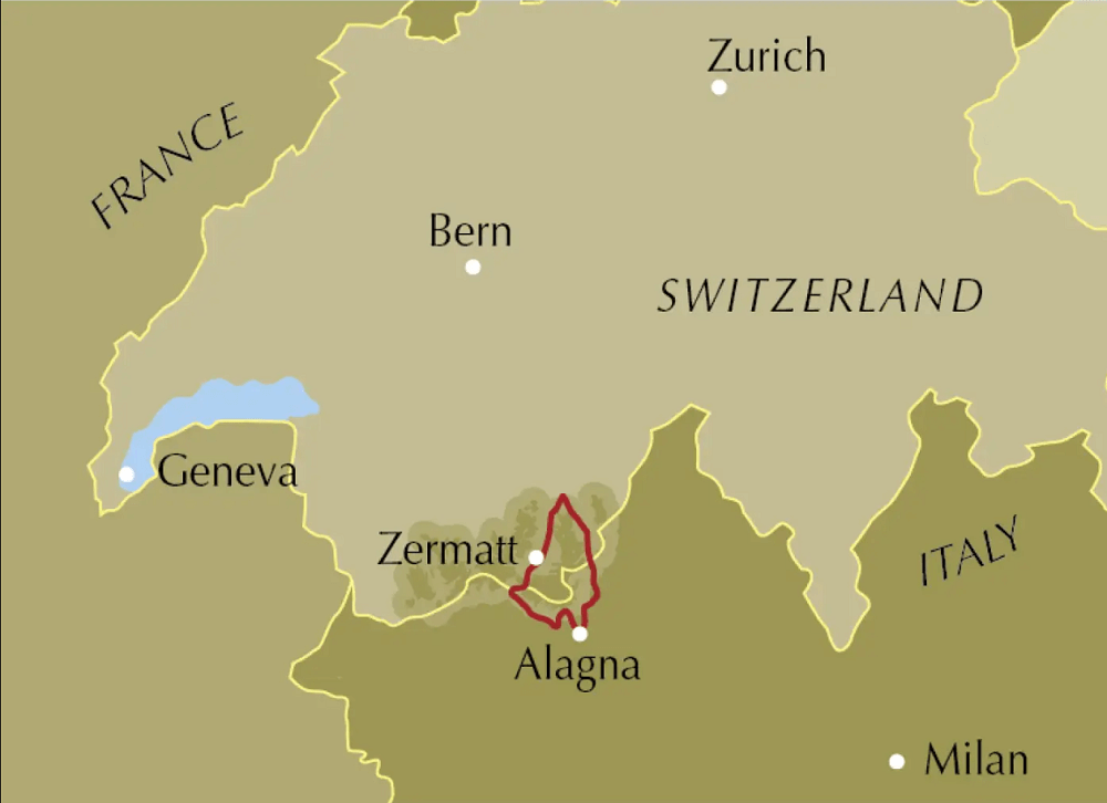
Zermatt, Grächen, Saas Fee in Switzerland. Gressoney/Stafal, Alagna and Macugnaga in Italy.
Difficulty:
This is an excellent route for experienced trekkers. There are two optional glacier crossings requiring micro-spikes or crampons. There are a number of unavoidably long days, as well as several +1500m climbs. Waymarking is good throughout, but some paths can be challenging due to steep, exposed and unstable terrain, or if there is snow at high altitude.
Must See:
Some of the most spectacular mountain scenery in the Alps, including 7 of the 10 highest Alpine peaks; the Swiss Europaweg; traditional Walser settlements; the 3rd longest suspension footbridge in the world; formidable alpine passes like the Turlo, Theodulpass and Monte Moro Pass; legendary high Alpine huts; two glacier crossings.
Artikelen uit dezelfde regio
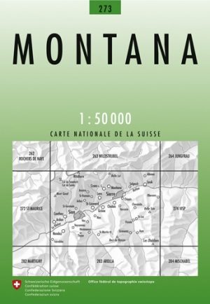
Wandelkaart 273 Montana Wallis Zwitserland - Swisstopo • 9783302002736
Wandelkaart Montana - Wallis Zwitserland - Swisstopo Productomschrijving: Montana is een gemeente en plaats in het Zwitserse kanton Wallis, en maakt deel uit van het district Sierre. Detail: Zeer gedetailleerde topografische wandelkaarten van een klein stuke Zwitserland met schaal 1:50.000. De topografische details van deze kaarten zijn onmetelijk goed; de werkelijkheid is perfect op w…
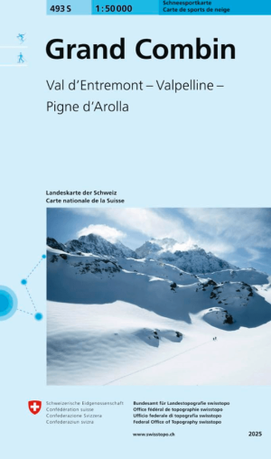
Skikaart 493 S Grand Combin Ski - Swisstopo • 9783302504933
Skikaart Grand Combin, Val d'Entremont, Valpelline - Swisstopo Productomschrijving: De Grand Combin is een imposant bergmassief in de westelijke Penninische Alpen in het kanton Wallis, Zwitserland. Vanwege de enorme gletsjers die de berg omringen, staat het massief ook wel bekend als de "Zwitserse Himalaya" - Combin de Grafeneire: De hoogste top met 4.314 meter. Het is de op één na mee…


Wandelkaart 1307 Vissoie Wallis Zwitserland - Swisstopo • 9783302013077
Wandelkaart Vissoie - Wallis Zwitserland - Swisstopo Productomschrijving: Kaart 1307 - Gelegen aan de andere zijde van de bergkam, tot waar de skipistes lopen startend vanuit het dal van Vissoie Saint Luc, Het bekende Naturpark Pfyn-Finges en het werrawald liggen over de rand. Detail: Zeer gedetailleerde topografische kaarten & wandelkaarten van een klein stuke Zwitserland met schaal 1…

Wandelkaart 1288 Raron & Visp Wallis - Swisstopo • 9783302012889
Wandelkaart Raron & Visp Wallis - Swisstopo Productomschrijving: Kaart 1288 - Gelegen pal aan de rand van Naturpark Dfyn-Finges, die uitgeeft in het hoog gebergte van de Bernese Hooglanden, en aanpaalt aan het Trelwald Detail: Zeer gedetailleerde topografische kaarten & wandelkaarten van een klein stuke Zwitserland met schaal 1:25.000.en nr 1011 > 1374. De topografische details van dez…
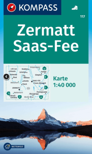
Wandelkaart 117 Zermatt & Saas Fee - Kompass • 9783991541790
Wandelkaart Zermatt & Saas Fee - Kompass Productomschrijving: Zermatt is het grootste deel van het jaar een skigebied, en weliswaar een dure regio. Maar elk jaar opnieuw verdwijnt de sneeuw, en word de regio incl. het zicht op de Monte Rosa, de Matterhorn en de Dufourspitze een ware steling voor het oog, Want dan zijn de pistes boven bewandelbaar. Steden, dorpen & gebieden: St. Luc, …