

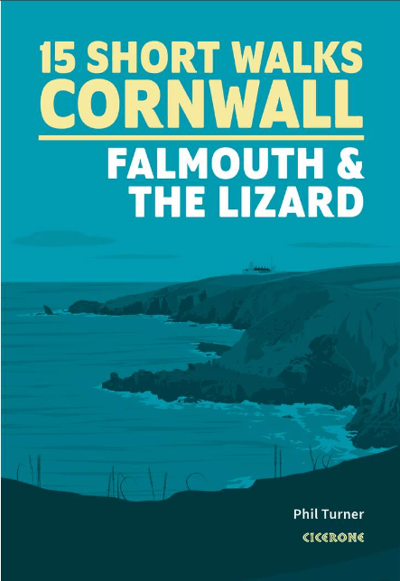
Wandelgids Short Walks in Cornwall - Cicerone
Falmouth & the Lizard - St-Agnes Beacon and Wheal Coates


Korte omschrijving
Wandelgidsen Cornwall, England van CICERONE Press. Ideaal voor tochten in England.
Short Walks in Cornwall - Cicerone Productomschrijving: 15 van de beste korte wandelingen in Cornwall rond Falmouth en de Lizard. Onze gids is voorzien van goed leesbare Ordnance Survey-kaar...

Specificaties
- Uitgever: CICERONE Press
- ISBN-13: 9781786311733
- HOOFDCATEGORIEËN: Wandelgids
- Activiteiten: Wandelen, Hiking & Trekking
- Auteur: Phil Turner
- Regio: Cornwall, England
- Land: England
- Editie: 1
- Taal: Engels
- De Engelse Graafschappen: Cornwall
Volledige omschrijving
Short Walks in Cornwall - Cicerone
Productomschrijving: 15 van de beste korte wandelingen in Cornwall rond Falmouth en de Lizard. Onze gids is voorzien van goed leesbare Ordnance Survey-kaarten en duidelijke routebeschrijvingen, perfect als je voor het eerst gaat wandelen of op zoek bent naar iets waar je met het hele gezin van kunt genieten.
Omvat: St-Agnes Beacon and Wheal Coates, Truro, Gwennap Pit, St Mawes, Mylor, Frenchman's Creek, Loe Pool, Cadgwith and Lizard Point
Engelse omschrijving: 15 of the best short walks in Cornwall around Falmouth and the Lizard. Our guidebook comes with easy-to-read Ordnance Survey maps and clear route descriptions, perfect if you're new to walking or are looking for something you can enjoy with the whole family.
- Easy-to-read Ordnance Survey maps, clear route descriptions and lots of images
- Most walks are under 3 hours in duration
- All routes are accessible by public transport
- Information on local beauty spots and refreshment stops
- GPX files available for download
.png)
Artikelen uit dezelfde regio

Reisgids Cornwall & Devon - Marco Polo • 9783829734783
Reisgids Cornwall & Devon - Marco Polo Productomschrijving: Marco Polo reisgids voor Cornwall & Devon! Handig pocket formaat, boordevol informatie, met uitneembare kaart. Met ‘insider tips’ om deze regio's écht te ontdekken, de TOP 15 van bezienswaardigheden in één oogopslag, up-to-date informatie in overzichtelijke hoofdstukken: sightseeing, eten & drinken, winkelen, uitgaan, verblijf, r…
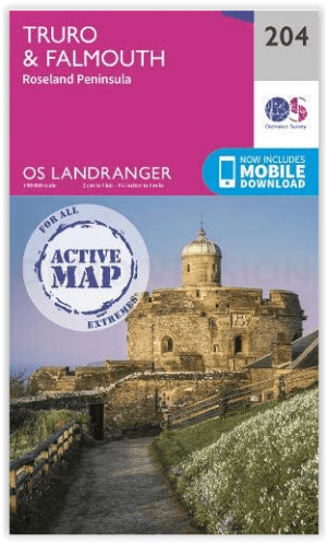
Wandelkaart 204 Truro- Falmouth & Roseland - OSI • 9780319475812
Wandelkaart Truro- Falmouth & Roseland - OSI Productomschrijving: In het uiterste zuidwesten van Engeland omvat de OS Landranger 204 van Truro & Falmouth ook St Austell, Dodman Point, Gillan, Penryn, Feock, Ladock, Trispen, Coldharbour, Portloe en een deel van het South West Coast Path. Cornwall trekt al eeuwenlang bezoekers en maakt indruk met zijn milde klimaat, glooiende heuvels en ruig…

Reisgids Devon & Cornwall - Rough Guides • 9780241270325
Reisgids Devon & Cornwall - Rough Guides Productomschrijving: The Rough Guide to Devon and Cornwall is the perfect companion to your trip to this captivating peninsula, introducing you to the charms of gentle, pastoral Devon and wild, craggy Cornwall. Both counties will tempt you outside to enjoy their mild climate, with everything from hikes over Dartmoor and surfing off Newquay to puffi…

Wandelgids Cornwall- Newquay & The North Coast - Cicerone • 9781786312471
Wandelgids Cornwall- Newquay & The North Coast Productomschrijving: Would you like to explore the best of Newquay and the North Coast? This guidebook covers 15 of the best short walks in the area (between 3 and 9.6km, all under three hours), including Polly Joke, Watergate Bay, Trevose Head, Padstow, Port Isaac, Camelford and Boscastle. Why choose this guidebook? - Easy to moderat…

Wandelgids Cornwall & Devon - Rother Bergverlag • 9783763348923
Wandelgids Cornwall & Devon - Rother Productomschrijving: Een schitterende kustlijn, weelderig groene heuvels, uitgestrekte tuinen - dat zijn Cornwall en Devon. Daarnaast heidevelden gedomineerd door bizarre granieten rotsen, woeste ravijnen en steile kliffen. Wandelaars en natuurliefhebbers vinden hier een klein paradijs. Met 53 unieke routesuggesties presenteert de Rother wandelgids “Co…