
Wandelgids Kungsleden Swedish Lapland - Floor Denil
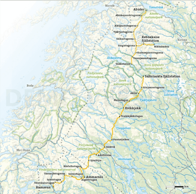
Kungsleden stretches across a 440 km-long distance trail

Korte omschrijving
Wandelgidsen Lapland van Floor Denil. Ideaal voor tochten in Zweden.
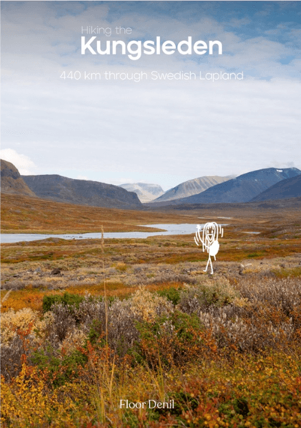
Kungsleden route Swedish Lapland - Floor Denil Productomschrijving: High up north in the northernmost tip of Sweden, the Kungsleden stretches across the land: a 440 km-long distance trail t...

Specificaties
- Uitgever: Floor Denil
- ISBN-13: 9789083485072
- HOOFDCATEGORIEËN: Wandelgids
- Activiteiten: Wandelen, Hiking & Trekking
- Auteur: Floor Denil
- Regio: Lapland
- Land: Zweden
- Lange afstand wandelroutes: Kungsleden, Lapland Zweden (425 km)
- Nationale parken: Abisko NP, Zweden
- Editie: 1
- Taal: Engels
- Reeks/Serie: Floor Denil Hiking
- De Scandinavische Landen: Zweden
- Iconische Wandelroutes: Kungsleden, Zweden
Volledige omschrijving
Kungsleden route Swedish Lapland - Floor Denil
Productomschrijving: High up north in the northernmost tip of Sweden, the Kungsleden stretches across the land: a 440 km-long distance trail through the magnificent valleys, forests, and mountains of northern Sweden, making it the longest and most popular hike in the whole country. It was the second long-distance hiking trail I ever embarked upon, and undoubtedly one of the most memorable trails I’ve completed thus far. The combination of remoteness on the trail with the opportunity to connect with other hikers in the huts throughout the trail makes for an almost unforgettable adventure.
Embark on the renowned Kungsleden with this comprehensive guide, furnishing you with all requisite trail details!
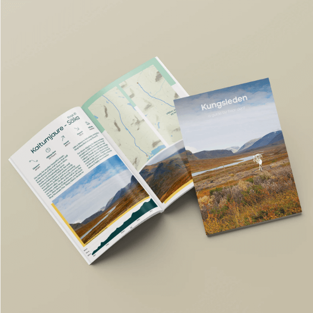
This guide encompasses:
• A day-by-day itinerary of the hike
• A comprehensive overview of facilities available along the route
• Excursions to Skierfe and Kebnekaise
• Comprehensive overview maps for each day’s journey
• In-depth elevation profiles for every stage
• Contact details for facilities along the route
• And, naturally, other useful information.
Enjoy the hike!
Artikelen uit dezelfde regio
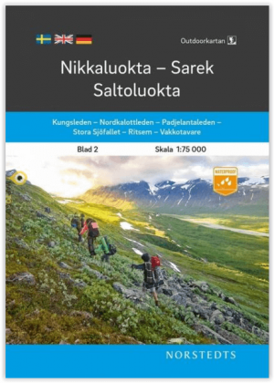
Wandelkaart 2 Nikkaluokta Sarek & Saltoluokta - Norstedts • 9789113104997
Wandelkaart 2 - Nikkaluokta- Sarek & Saltoluokta - Norstedts Productomschrijving: Een complete nieuwe reeks wandelkaarten gelegen aan de westelijke grens met Noorwegen, de kaarten lopen in een hoeveelheid van 14 verschillende delen van het noorden naar het zuiden langs deze grens. De kaarten zijn waterbestendig, met ingetekende wandelroutes, aangeduide campings, routes, hulproutes en ander…
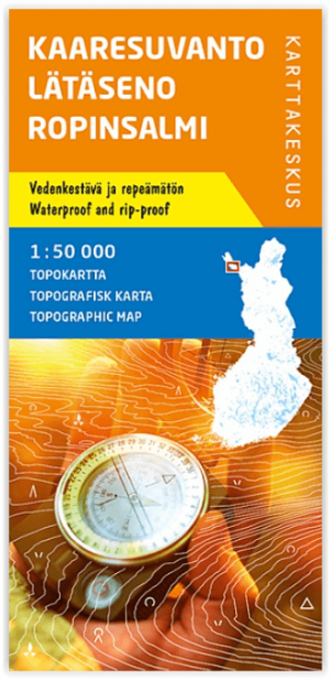
Wandelkaart 002 Kaaresuvanto Finland - Karttakeskus • 9789522665171
TOPO Wandelkaart Kaaresuvanto Finland - Karttakeskus Productomschrijvging: Kaaresuvanto is een gemeente tegen de Zweedse grens in het noordelijke Lapland in Finland. De gemeente ligt dicht bij de rivier Lâtâseno en zijn saami nederzetting Ropinsalmi, die het een echte aatrekkingspool maakt tijdens de seizoensmaanden. Kaaresuvanto is gekend voor zijn omgeven wandelroutes in het nabijliggend…

Wandelkaart DB10 Sareks nationalpark - Lantmateriet • 9789158895881
TOPO Wandelkaart DB10 - Sareks nationalpark - Fjällkarta Productomschrijving: prachtige serie topografische wandelkaarten, met heel wat aan informatie zoals de verschillende landschappen, beschikbare campings, met gridindeling, toepasbaar voor GPS gebruik. Ook zijn de hoogtelijnen ingetekend. Deze serie kaart van de Zweedse topografical Servey zijn uniek in hun genre, ze zijn dan ook super…
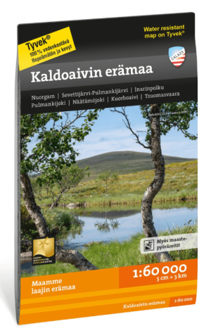
Wandelkaart Tourkaart 030 Kaldoaivin erämaa Wilderniss Finland - Calazo • 9789189541924
Wandelkaart Kaldoaivin erämaa Wilderniss NP - Calazo Productomschrijving: Het grootste wildernisreservaat in Finland, gelegen in Utsjoki en Inari in Lapland Filand Gemakkelijk begaanbare hoogvlakten, besneeuwde moerassen en weelderige rivierdalen vormen samen de grootste wildernis van ons land. De populaire Sevetti-Pulmanki-route omvat verschillende verlaten hutten. Ervaren wandelaars…
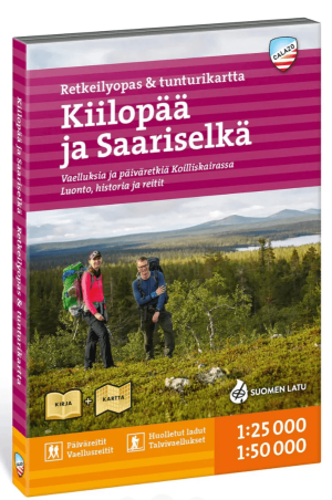
Wandelgids- & kaart 020 Kiilopää ja Saariselkä (lapland Noord) Ca • 9789189880818
Wandelgids- & kaart Kiilopää ja Saariselkä (lapland Noord) Calazo Productomschrijving: De Calazo Kiilopää & Saariselkä Retkeilyopas & tunturikartta combineert een Finstalige wandelgids met een dubbelzijdige terrein- en wandelkaart voor het noordelijke deel van Fins Lapland. Kiilopää ligt aan de rand van het Nationaal Park Urho Kekkonen, waar gemarkeerde routes en stillere wildernispaden ve…