

Wandelgids Great Glen Way - Cicerone
Fort William to Iverness
Korte omschrijving
Wandelgidsen Highlands, Schotland van CICERONE Press. Ideaal voor tochten in Schotland.
Wandelgids Great Glen Way - Cicerone Press Productomschrijving: Guidebook to walking the Great Glen Way, a 124 Km long National Trail along the Caledonia Canal from Fort William to Inverness...

Specificaties
- Uitgever: CICERONE Press
- ISBN-13: 9781786311276
- HOOFDCATEGORIEËN: Wandelgids
- Activiteiten: Wandelen, Hiking & Trekking
- Auteur: Paddy Dylan
- Regio: Highlands, Schotland
- Land: Schotland
- Lange afstand wandelroutes: Great Glen Way, Schotland (127 km)
- Editie: 3
- Taal: Engels
- Reeks/Serie: National Trails, UK
- Scotlands Great Trails: Great Glen Way
Volledige omschrijving
Wandelgids Great Glen Way - Cicerone Press
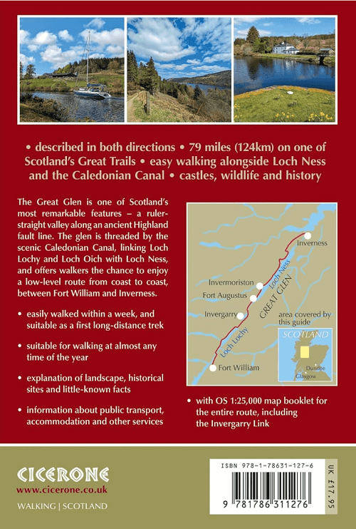
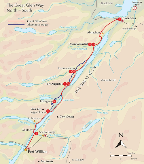
Productomschrijving: Guidebook to walking the Great Glen Way, a 124 Km long National Trail along the Caledonia Canal from Fort William to Inverness. Easily walked within a week in all seasons, the Great Glen Way is an ideal introduction to long-distance walking in Scotland. The route is described in both directions, and a separate OS 1:25K mapping booklet is included.
Seasons:
Low-lying, so it is possible to walk the Great Glen Way at most times of year. Accommodation is often busy in summer, and midges are out! Daylight is short in winter and less accommodation is available.
Centres:
Inverness, Drumnadrochit, Invermoriston, Fort Augustus, North Laggan, Gairlochy, Fort William.
Difficulty:
The Great Glen Way is a 5-6 day low-level waymarked National Trail, with a range of facilities along the way. An ideal introduction to long-distance walking.
Must See:
Views of the highlands, fascinating clan history, Caledonian canal, wildlife (including, possibly, the Loch Ness monster).
Artikelen uit dezelfde regio
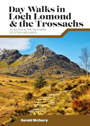
Wandelgids Day Walks in Loch Lomond & the Trossachs NP • 9781839810718
Day Walks in Loch Lomond & the Trossachs - Vertebrate Productomschrijving: 20 routes in the southern Scottish Highlands Day Walks in Loch Lomond & the Trossachs National Park features 20 day-length routes suitable for hillwalkers of all abilities. Researched and written by experienced local walker Gerald McGarry, the walks explore the highlights of the Loch Lomond & The Trossachs N…

Wandelkaart 432 Black Isle & Munlochy - OSI • 9780319246641
Wandelkaart Black Isle- Munlochy - Highland Schotland Productbeschrijving: Fortrose, Cromarty & Dingwall. 432 / Black Isle, Munlochy, Highland, Schotland - OS Explorer kaart 432 toont de Black Isle, inclusief de Moray Firth, Cromarty Firth en Dingwall. het beste deel van dit eiland Blask is dat het niet daadwerkelijk een eiland is, hoewel de toegang beperkt is van Noord en Zuid. Het is…

Wandelgids 007 Pathfinder guides Fort William & Glen Coe - OS • 9780319090916
Wandelgids Fort William & Glen Coe - OS Productomschrijving: Fort William and Glen Coe encompass one of the greatest areas of sea and mountain landscape in Scotland, backed by some of the biggest and most demanding peaks. This is Scotland's fjord land, a drowned coastland with long sea arms wending far inland, and steep climbs from sea level to Ben Nevis, the highest summit in Britain. …

Wandelkaart 34 Fort Augustus- Loch Ness Highland's - OSI • 9780319473573
Wandelkaart Fort Augustus - Loch Ness Highland's Schotland Omvat ook: Glen Albyn & Glen Roy Productomschrijving: Gelegen aan de zuidelijke oevers van de wereld beroemde Loch Ness, is Fort Augustus het charmante dorp omgeven door iconische Schotse landschap. OS Landranger kaart 34 toont de Great Glen way die de regio passeert waardoor het een aantrekkelijke uitvalsbasis is voor wandelaa…
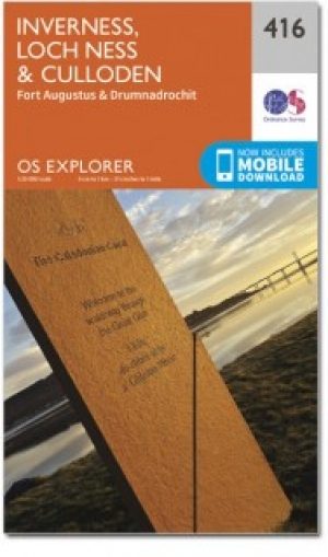
Wandelkaart 416 Inverness & Loch Ness - OSI • 9780319246511
Wandelkaart Inverness- Loch Ness & Culloden - Highlands Productbeschrijving: 416 / Inverness, Loch Ness & Culloden, Highlands, Schotland - Deze twee-zijdige Explorer kaart 416 omvat de lengte van Loch Ness en de Highland hoofdstad Inverness. De Great Glen way wandelpad op de oevers van de loch, om te zien of u het legendarisch monster kan spotten. De OS Explorer kaart voor Inverness, L…