

Wandelgids Day Walks in the Lake District NP - Vertebrate Publ.
20 circular routes between 8 km and 21 km


Korte omschrijving
Wandelgidsen Cumbria & Lake District, England van Vertebrate Publishing. Ideaal voor tochten in England.
Day Walks in the Lake District NP - Vertebrate Productomschrijving: 20 Circular Routes on the Lakeland Fells. Day Walks in the Lake District by Stephen Goodwin showcases 20 circular rout...

Specificaties
- Uitgever: Vertebrate Publishing
- ISBN-13: 9781906148126
- HOOFDCATEGORIEËN: Wandelgids
- Activiteiten: Wandelen, Hiking & Trekking
- Auteur: Stephen Goodwin
- Regio: Cumbria & Lake District, England
- Land: England
- Nationale parken: Lake District NP, Cumbria England
- Taal: Engels
- Reeks/Serie: Day walks in, vertebrate Publishing
- De Nationale Parken: Lake district National Park, England
- Wandelen in de Bossen & natuurgebieden van Europa: Lake district, England
Volledige omschrijving
Day Walks in the Lake District NP - Vertebrate
Productomschrijving: 20 Circular Routes on the Lakeland Fells.
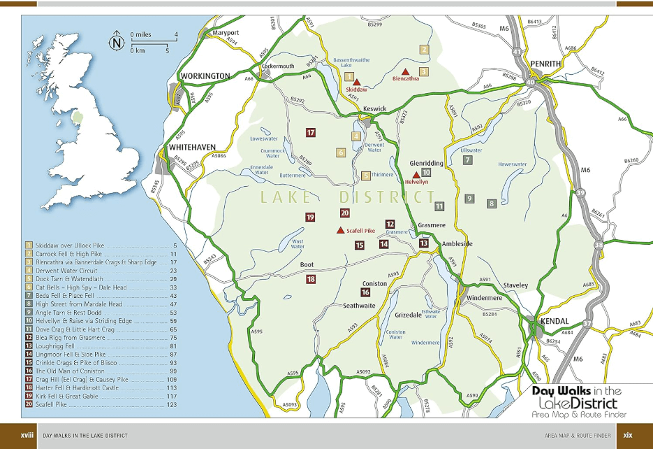
Day Walks in the Lake District by Stephen Goodwin showcases 20 circular routes between 5 and 13 miles (8 km and 21 km) in length, suitable for hillwalkers of different abilities. It includes walks from the main tourist bases, such as Keswick and Ambleside, as well as sought-after peaks, such as Scafell Pike, Great Gable, Blencathra and Helvellyn.
Artikelen uit dezelfde regio
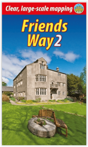
Wandelgids The Friends Way 2 - Rucksack Readers • 9781913817077
The Friends Way 2 - Rucksack Readers Productomschrijving: De Friends Way 2 route zal niet alleen alle Quakers aanspreken die van wandelen houden, maar ook die wandelaars die het opmerkelijke verhaal van George Fox's wandeling in 1652 en zijn centrale rol in het stichten van het Quakerisme nog niet kennen. Dit vervolg bevat de route van Sedbergh naar Swarthmoor Hall bij Ulverston. De vorig…

Wandelgids Lakeland short walks book 3- West Lakeland - Cicerone • 9781852843083
Wandelgids -Lakeland short walks book 3- West Lakeland - Cicerone Routes bedekken Rydal, Grasmere, Langdale, little Langdale, Coniston, Torver en het zuiden, Grizedale, Satterthwaite, e.a. Productomschrijving: Een gids van korte wandelingen in het zuiden van het engelse Lake District, het VK, de derde van deze drie-delige lake landserie. Routes bedekken: Rydal, Grasmere, Langdale, …
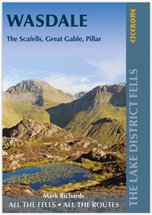
Wandelgids The Lake District Fells Wasdale - Cicerone • 9781786310316
The Lake District Fells Wasdale - Cicerone Productomschrijving: Deze gids beschrijft beklimmingen van 25 Lake District fells die beklommen kunnen worden vanuit de valleien van Wasdale, Eskdale en Ennerdale. Rustiger en wilder dan de oostkant van het nationale park - maar zeker even mooi - is dit gebied de thuisbasis van veel van de meest gevierde toppen van de regio, met als hoogtepunten o…
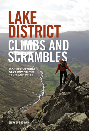
Klimgids Lake District Climbs and Scrambles - Vertebrate Publ. • 9781910240021
Lake District Climbs and Scrambles - Vertebrate Publ. Productomschrijving: Mountaineering days out on the Lakeland Fells. Lake District Climbs and Scrambles combines the best scrambles and easy climbs in the Lake District with great walking loops to give twenty superb 'mountaineering' days out. Written by local author Stephen Goodwin, the routes feature Ordnance Survey 1:25,000 maps, p…

Wandelkaart Lake District West - XT40 ultra - Harvey Maps • 9781851377190
Wandelkaart Lake District West - Harvey Maps Productomschrijving: Omvat een groot gebied maar is praktisch en compact, zakformaat - Gedetailleerde kaart voor lopers en wandelaars van de westelijke heuvels van het Lake District National Park. - Scafell en de Langdale Pikes, en fells ten westen van de Kendal-Keswick-weg. - Hard Knott en Wrynose passen. Ennerdale, Wast Water en Conist…