

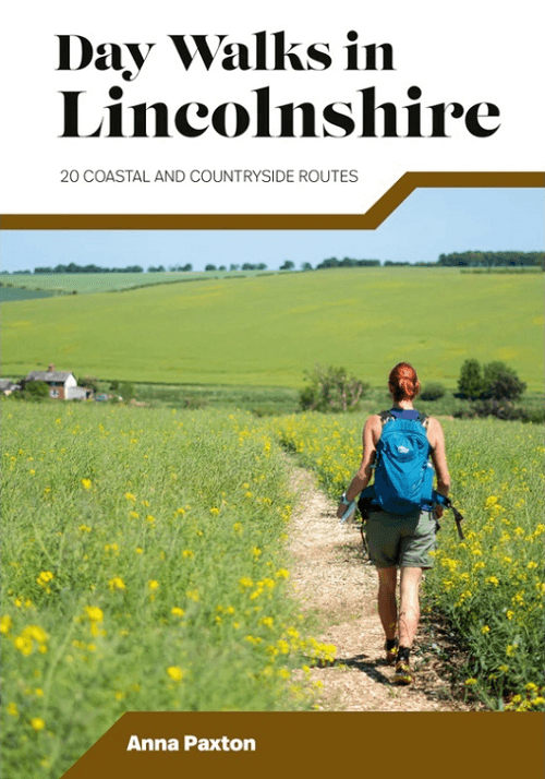
Wandelgids Day Walks in Lincolnshire England - Vertebrate Publ.
20 coastal and countryside routes

Korte omschrijving
Wandelgidsen lincolnshire van Vertebrate Publishing. Ideaal voor tochten in England.
Day Walks in Lincolnshire England - Vertebrate Publ. Productomschrijving: 20 coastal and countryside routes Day Walks in Lincolnshire features 20 routes between 7 and 14 miles (11km and...

Specificaties
- Uitgever: Vertebrate Publishing
- ISBN-13: 9781839812262
- HOOFDCATEGORIEËN: Wandelgids
- Activiteiten: Wandelen, Hiking & Trekking
- Auteur: Anna Paxton
- Regio: lincolnshire
- Land: England
- Taal: Engels
- De Engelse Graafschappen: Lincolnshire
Volledige omschrijving
Day Walks in Lincolnshire England - Vertebrate Publ.
Productomschrijving: 20 coastal and countryside routes
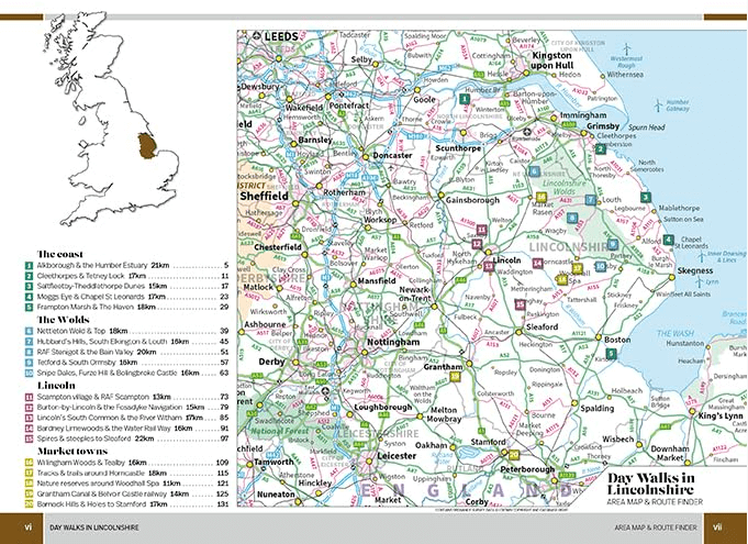
Day Walks in Lincolnshire features 20 routes between 7 and 14 miles (11km and 22km) in length, suitable for hillwalkers of all abilities. Researched and written by outdoor adventure expert Anna Paxton, the walks range from gentle rambles to more challenging day walks, all exploring the highlights and hidden gems of this varied and historic county.
Split into four sections – the coast; the Wolds; Lincoln; and market towns – this guidebook will help you explore the rich history, heritage and wildlife found across Lincolnshire.
Together with stunning photography, each route features Ordnance Survey 1:25,000 maps, easy-to-follow directions, details of distance and navigation information, and refreshment stops and local information.
Locatie op kaart
Artikelen uit dezelfde regio
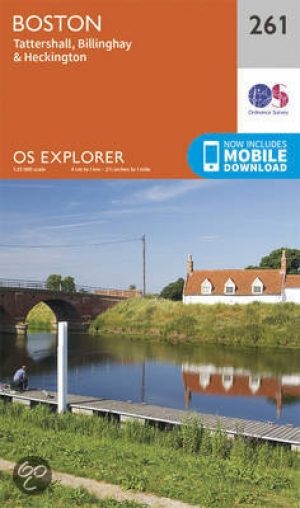
Wandelkaart 261 Boston & Lincolnshire- England - OSI • 9780319244586
Wandelkaart Boston- Lincolnshire England Omvat ook: Tattershall, Billinghay & Heckington. 261 / Boston, Lincolnshire, England - Boston, Lincolshire is gedekt door deze dubbelzijdige OS Explorer kaart 261. Hij toont de noordzijde van de Macmillan way recreatie route aan. Hoogtepunten van het gebied zijn de steden van Sittard, Billinghay en Heckington, de kustlijn rond The Wash. De OS Ex…

Wandelkaart 261 - Boston- Lincolnshire AONB - OSI • 9780319471333
Wandelkaart Boston - Lincolnshire AONB England Omvat ook: Tattershall, Billinghay & Heckington. Productbeschrijving: Boston, Lincolshire omvat een dubbelzijdige OS Explorer kaart 261. Deze kaart toont ook de noordzijde van de Macmillan way, met zijn recreatieve paden. Hoogtepunten van het gebied zijn de steden van Sittard, Billinghay en Heckington, en de kustlijn rond de Wash. De OS Ex…
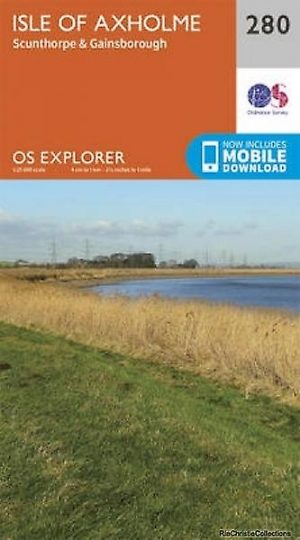
Wandelkaart 280 Isle of Axholme- Lincolnshire - OSI • 9780319244777
Wandelkaart Isle of Axholme - Lincolnshire England Omvat ook: Scunthorpe & Gainsborough Productomschrijving: OS Explorer kaart 280 omvat de Isle van Lincolnshire en de omliggende gebieden, met inbegrip van Scunthorpe & Gainsborough. Ondanks de naam, is het helemaal geen eiland, maar word als zeer vlak gebied doorkruist door verschillende rivieren, met name de Trent en de Idle. U kunt d…
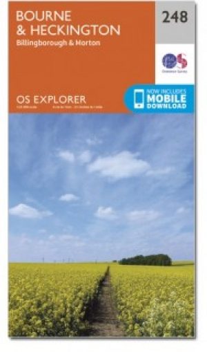
Wandelkaart 248 Bourne & Heckington England - OSI • 9780319471203
Wandelkaart Bourne & Heckington - Lincolnshire England Omvat ook: Billingborough & Morton. Productbeschrijving: OS Explorer kaart 248 toont de steden Bourne, Morton, Billingborough en Heckington, als deel van de Macmillan way na de rivier Glen. Het gebied is grotendeels zeer laag gelegen, met een groot gebied van Fenlands gekenmerkt door drainage sloten. De OS Explorer kaart voor Bourn…

Wandelkaart 122 Skegness & Horncastle - England - OSI • 9780319262207
Wandelkaart Skegness & Horncastle - Lincolnshire England Productbeschrijving: Deze kaart van Skegness & Horncastle omvat ook Mablethorpe, Alford, Sutton op zee, Spilsby, Sittard, Friskney, Belchford, Great Steeping, Mumby en onderdeel van de E2 Europese Long Distance pad. De OS Landranger kaarten reeks heeft betrekking op Groot-Brittannië met 204 gedetailleerde kaarten, perfect voor dagtoc…