
Spoorwegenkaart Grand Ouest Voyage en train et bus - Cartotrain
FRANCE GRAND OUEST en Train, bus, vélo & rando...

Korte omschrijving
Spoorwegenkaart Grand Ouest Voyage en train et bus Productomschrijving: FRANCE GRAND OUEST en Train, bus, vélo & rando... La carte ultime du voyage sans voiture, de La Rochelle à la Norm...

Specificaties
- Uitgever: Cartotrain
- ISBN-13: 9782959394416
- HOOFDCATEGORIEËN: Spoorwegenkaarten & Gidsen
- Activiteiten: Busreizen, Fietsen / VTT / MTB, Treinreizen, Wandelen, Hiking & Trekking
- Regio: Frankrijk
- Land: Frankrijk
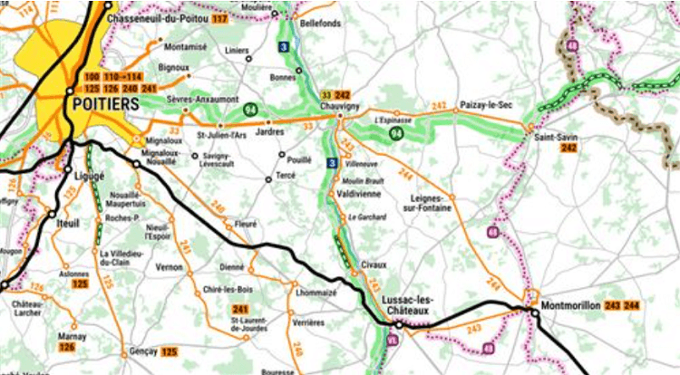
- Schaal: 1:400000
- Editie: 1
- Taal: Frans
- Reeks/Serie: Cartotrain
- De Franse Regio's: Bretagne, Normandië, Pays-de-la-Loire
Volledige omschrijving
Spoorwegenkaart Grand Ouest Voyage en train et bus
Productomschrijving: FRANCE GRAND OUEST en Train, bus, vélo & rando...
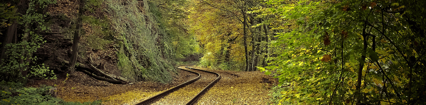
La carte ultime du voyage sans voiture, de La Rochelle à la Normandie. Planifiez toutes vos excursions sans voiture !
Toutes les lignes de train et d’autocar pour s’approcher au plus près de votre destination. Et pour un voyage en itinérance, retrouvez les véloroutes et sentiers de GR principaux.
Couverture géographique: Bretagne en entier, Normandie (au sud de Fécamp), Pays de la Loire en entier, et jusqu’à La Rochelle et la Brenne (Châteauroux) à l’est
Contient aussi : Conditions embarquement vélos trains et cars, Lignes de bus locales et saisonnières
Artikelen uit dezelfde regio
Reisgids France (Frankrijk) - Mini Rough Guide • 9781839053559
France Mini Rough Guide Productomschrijving: Frankrijk, een verzameling van alles dat een reiziger maar kan van dromen. Van wijn in Midi Pyrenées, tot skiën op de toppen van de Alpen, zonnen aan de Franse riviëra, rijkeman spelen in Manaco, F1 in Monte Carlo, Champagne dringen in de regio Champgne, bezoekje brengen aan de fabriek van Côte d'Or in het departement van de Côte d'Or, enz. Fran…
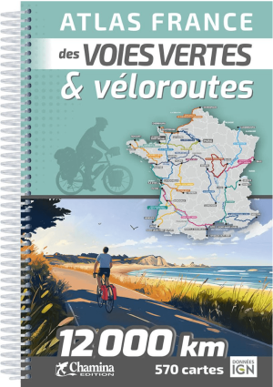
Fietsatlas L’Atlas France des voies vertes & véloroutes - Chamina • 9782844667625
Atlas de vélo Voies vertes & véloroutes - Chamina Edition Productomschrijving: L’Atlas France des voies vertes & véloroutes revient cette année : • 18 itinéraires représentant 12 000 km, • 570 cartes précises sur fond IGN au 1 : 100 000, • indications pratiques sur les services disponibles (hébergement, restauration, loueurs/réparateurs, gares...), • détail des étapes et des k…

Landkaart Wegenkaart 3313 Adventure map Frankrijk - Nat Geo • 9781566956048
Wegenkaart Adventure map Frankrijk - Nat Geo Productomschrijving: With some of the world's most renowned museums, the French Riviera and Alps, picturesque rural areas and the iconic Eiffel Tower, France is the world's most popular tourist destination. Designed for all global adventurers, National Geographic's France Adventure Map is an invaluable tool for first-time excursionists and exper…

Reisgids France - Insight guides ENG • 9781839053962
Reisgids France - APA Publications Covers: Paris and Surroundings, The North, The West, Central France and the Alps, The Southwest, The South. Productomschrijving: From deciding when to go, to choosing what to see when you arrive, this guide to France is all you need to plan your perfect trip, with insider information on must-see, top attractions like Paris, Mont-St-Michel and the Dord…
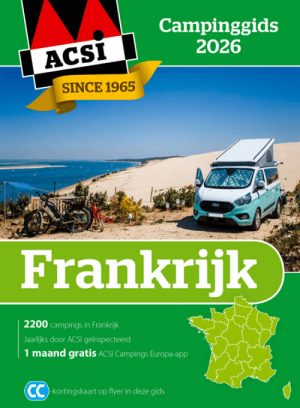
ACSI Campinggids Kampeergids Frankrijk 2026 GPS NL - ACSI • 9789493182936
Campinggids Frankrijk 2026 GPS NL - ACSI Productomschrijving: Campinggids Frankrijk 2026 NL ACSI Het meest complete campingoverzicht van Frankrijk. Vind heel eenvoudig de ideale camping voor jouw vakantie. - 2.200 campings in Frankrijk - Alle campings jaarlijks door ons geïnspecteerd - Inclusief CampingCard ACSI-kortingskaart voor het laagseizoen De ideale camping in Frankrij…