
Reisgids Go Slow Northern Highlands - Bradt guides
Sutherland - Caithness - Ross-shire

Korte omschrijving
Reisgidsen Highlands Noord, Schotland van Bradt guides. Ideaal voor tochten in Schotland.
Reisgids The Northern Highlands - Bradt guides Productomschrijving: Scotland’s North Highlands (Slow Travel), is the latest title in Bradt’s series of distinctive, widely acclaimed ‘Slow’ tr...

Specificaties
- Uitgever: Bradt guides
- ISBN-13: 9781804691380
- HOOFDCATEGORIEËN: Reisgids
- Activiteiten: Toerisme
- Auteur: Emma Gibbs
- Regio: Highlands Noord, Schotland
- Land: Schotland
- Toepasselijke bergketen: Schotse Highlands, Schotland
- Editie: 1
- Taal: Engels
- Reeks/Serie: Go slow, Bradt guides
- Iconische Bergketens van Europa: De Schotse Highlands
Volledige omschrijving
Reisgids The Northern Highlands - Bradt guides
Productomschrijving: Scotland’s North Highlands (Slow Travel), is the latest title in Bradt’s series of distinctive, widely acclaimed ‘Slow’ travel guides to local UK regions. Written by a northern Scotland specialist who edits the award-winning JRNY Travel Magazine, this guidebook provides greater detail than any other to the whole of northern Scotland – roaming far beyond the increasingly popular 516-mile North Coast 500 (NC500) driving route. Coupling a wide, personal selection of places to explore with focused advice on travel practicalities, Scotland’s North Highlands (Slow Travel) encourages visitors to adopt a leisurely approach designed to tease out the region’s many special qualities – and contribute positively to local communities.
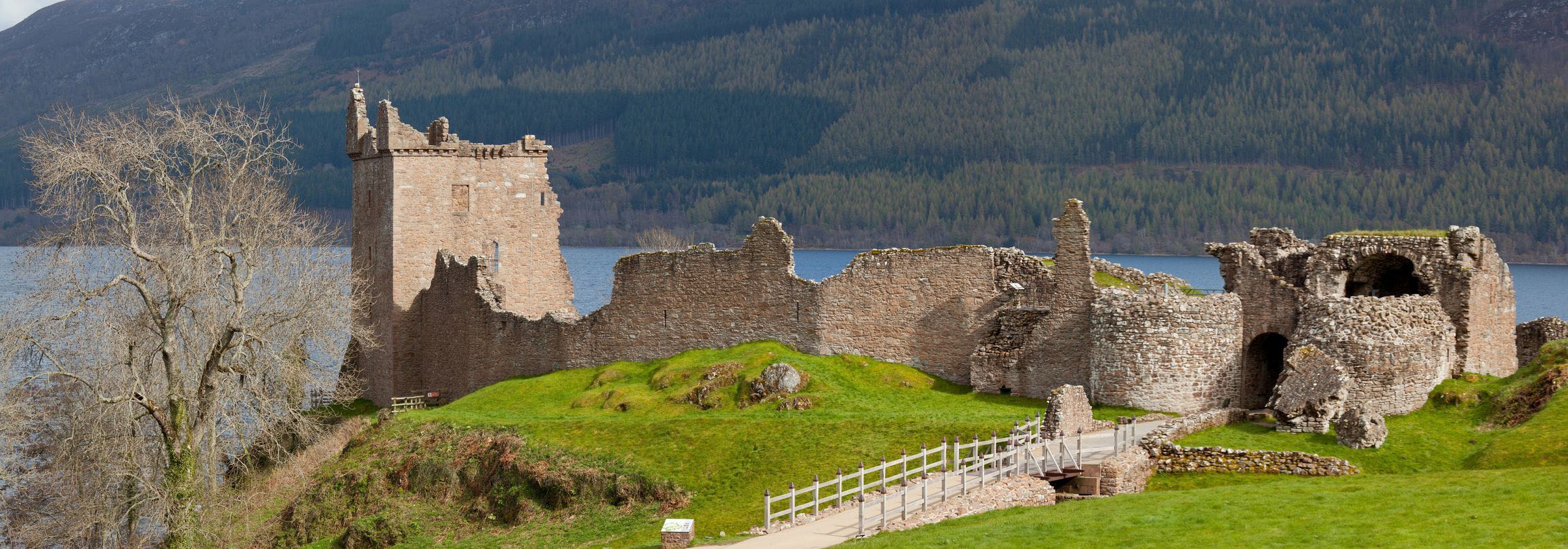
In the far northern reaches of Scotland, Sutherland, Caithness and Ross-shire are regions that, by their very nature, demand to be taken slowly. Single-track roads dominate, skirting lochs and winding up and over moorland and mountains carpeted with blanket bog, settlements are few and far between, and you’ll often feel outnumbered by sheep as yet another flock ambles across a road leading to a crumbling castle, old fishing port or alluring ancient site. But biding your time is no inconvenience here, not when every corner reveals a yet more staggering view, when remote coastal cliffs throb with the cries of seabirds, or when following a sign down a potholed road leads to an empty cove of sand that shimmers pink and blue in the ever-changing Highlands light.
There are no large settlements here – the second-largest town has barely 1,500 inhabitants – so visitors focus very much on the outdoors. Getting into wilderness is joyously easy, within moments of parking your car or stepping out of your B&B, you’re striding among scenery so enchanting and dramatic it feels like it’s been conjured up by someone’s imagination. Whether you crave clambering over rocks to discover secret beaches, watching dolphins leap, kayaking to uninhabited islands or trekking to the UK’s highest waterfall, northern Scotland is the kind of place that gets its teeth into you – a place that people return to again and again. Just the place, indeed, for Bradt’s Scotland’s North Highlands to provide the perfect travelling companion.
Artikelen uit dezelfde regio
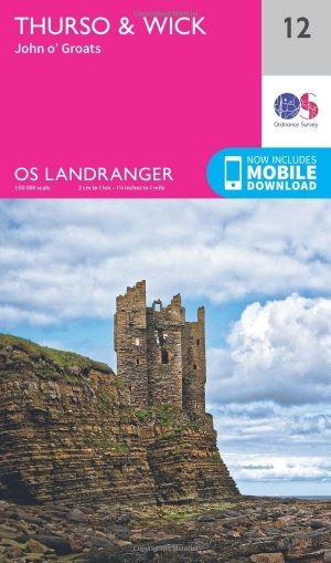
Wandelkaart 12 Thurso & Wick Highland's - OSI • 9780319261101
Wandelkaart Thurso & Wick - Highland's Schotland - OSI Productbeschrijving: OS Landranger kaart 12 omvat John O'Groats, Thurso en Wick in het noorden van Schotland. De iconische wegwijzer markeert het punt van het begin (of einde) van de John O'Groats Land's End route. De OS Landranger kaarten reeks heeft betrekking op Groot-Brittannië met 204 gedetailleerde kaarten, perfect voor dagto…
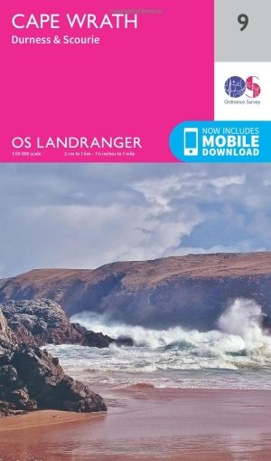
Wandelkaart 9 Cape Wrath- Highland's Schotland - OSI • 9780319261071
Wandelkaart Cape Wrath - Highland's Schotland Productbeschrijving: Als het meest noordwestelijke punt op het vasteland van Groot-Brittannië, biedt Cape Wrath een ongeëvenaarde landschap in de Schotse Hooglanden, met een verscheidenheid aan fauna, zoals Papegaaiduikers en een ongerepte kustlandschap. OS Landranger kaart 9 toont Cape Wrath plus de dichtstbijzijnde dorpen van Durness en Scour…

Wandelkaart 11 Thurso & Dunbeath N. Highland's - OSI • 9780319473344
Wandelkaart Thurso & Dunbeath - Northern Highland's Productbeschrijving: OS Landranger kaart 11 bestrijkt het gebied net ten zuiden van John O'Groats en omvat de steden Thurso, Dunbeath, Lybster, Westerdale en Reay. De afgelegen gebieden rond Loch More en Loch Toftingall bieden mogelijkheden voor wandelen en fietsen. De kaart OS Landranger voor Thurso & Dunbeath is beschikbaar in zowel de …

Wandelgids Day Walks on the Isle of Skye - Vertebrate Publ. • 9781839811517
Day Walks on the Isle of Skye - Vertebrate Productomschrijving: 20 routes on the Isle of Skye Day Walks on the Isle of Skye features 20 routes between 3.4 and 14.5 miles (5.5km and 23.3km) in length, spread across the Isle of Skye with one walk on the neighbouring Isle of Raasay. Researched and written by experienced and knowledgeable authors Helen and Paul Webster, founders of the Wal…
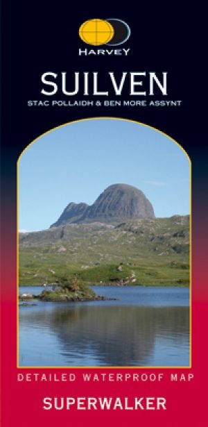
Wandelkaart XT Suilven Highlands Schotlands - Harvey • 9781851374946
Wandelkaart Suilven Highlands Schotlands - Harvey Omvat: Suilven - Stac Pollaidh, Ben More Assynt, Canisp, Cul Mo, Breabag Productomschrijving: Suilven heeft betrekking op een spectaculaire groep van heuvels, die populair zijn bij wandelaars en klimmers, waaronder Stac Pollaidh Quinag, Ben more Assynt. Het kaart omvat de Munros, de Corbetts en de Grahams. Nieuwe generatie HARVEY Su…