

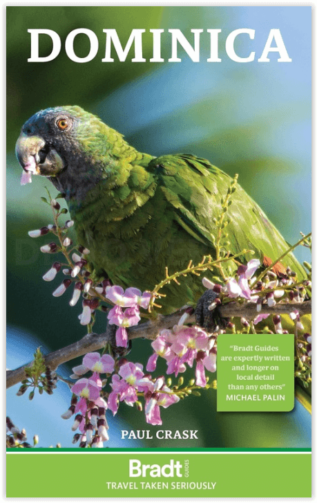
Reisgids Dominica - Bradt guides
Caribbean islands - Morne Trois Piton National Park
Korte omschrijving
Reisgidsen CaraĂŻbische eilanden, Centraal Amerika van Bradt guides. Ideaal voor tochten in Dominica.
Reisgids Dominica - Bradt guides Engelse omschrijving: Packed with the extensive, detailed local knowledge of author Paul Clack, a long-term resident, Bradt’s Dominica remains the only up-to...

Specificaties
- Uitgever: Bradt guides
- ISBN-13: 9781804691021
- HOOFDCATEGORIEĂ‹N: Reisgids
- Activiteiten: Toerisme
- Auteur: Paul Clack
- Regio: CaraĂŻbische eilanden, Centraal Amerika
- Land: Dominica
- Editie: 4
- Taal: Engels
Volledige omschrijving
Reisgids Dominica - Bradt guides
Engelse omschrijving: Packed with the extensive, detailed local knowledge of author Paul Clack, a long-term resident, Bradt’s Dominica remains the only up-to-date standalone guide to this Caribbean island. In this new, thoroughly updated fourth edition, a range of accommodation and dining options are described in depth, guide and tour-operator listings are extensive, and over 20 detailed maps help orientation.
Taking an environmentally conscious and socially responsible approach to travel, the author couples essential advice on activities and practicalities with rich insights into the country’s natural environment, history and culture – including the indigenous Kalinago, the last of the region’s indigenous Amerindian people, whose descendants continue to live here today.
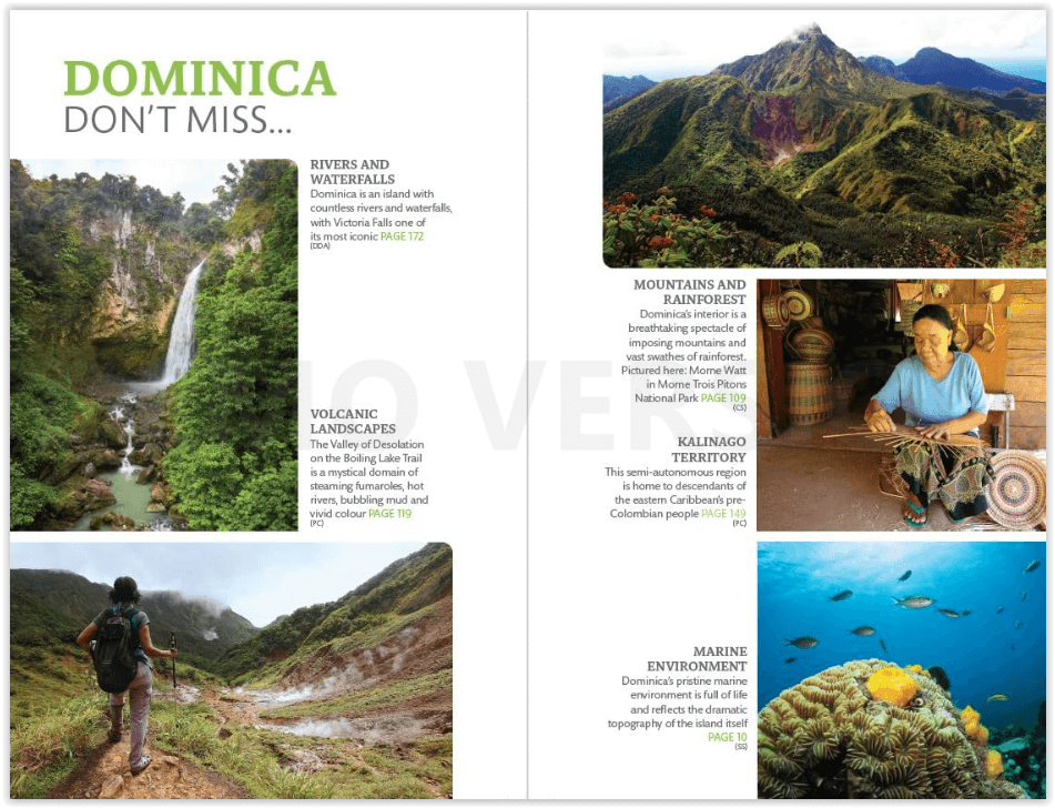
Formerly considered an undeveloped Caribbean backwater, English-speaking Dominica is an increasingly favoured tourist destination. The government has invested significantly in island infrastructure following damage caused by extreme weather events in 2015 and 2017, while upmarket boutique hotels are opening. Despite such rising popularity, Dominica remains a place of unbridled, off-the-beaten-path adventure and discovery. This island of mountains, unspoiled rainforests, extinct (and one active) volcanoes, rivers and waterfalls has much to enchant a variety of travellers.
Explore Morne Trois Piton National Park, a World Heritage Site housing a network of trails that traverse rainforest-covered mountains, and connect rivers, waterfalls and the Boiling Lake, a flooded fumarole that is the world’s second-largest hot-water lake. Ardent hikers craving further exploration can walk sections of the Waitukubuli National Trail or make for national parks such as Cabrits and Morne Diablotin. Wildlife-watchers can seek out rare parrots found nowhere else in the world, the mountain chicken (actually one of the world’s largest frogs) or even a boa constrictor that is the subject of Kalinago legends. Scuba divers and snorkellers can marvel at pristine marine reserves boasting healthy coral reefs, whilst those who prefer to remain above the waves can take boat trips to enjoy excellent views of sperm whales.
Whether you love nature or culture, hiking through wilderness or exploring underwater, the depth of detail and breadth of local insights that characterise Bradt’s Dominica render it the indispensable practical companion to exploring this exciting country.
Artikelen uit dezelfde regio
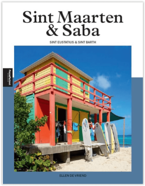
Reisgids Sint Maarten & Saba - Edicola • 9789493300798
Reisgids Sint Maarten & Saba van Edicola Productomschrijving: Sint Maarten is met een Frans en Nederlands eilanddeel twice the fun. Saba en Sint Eustatius zijn Nederlands en piepklein en daardoor onderscheiden ze zich. Beide eilanden staan bekend om hun imposante natuur en onderwaterwereld. Voor alle eilanden geldt natuurlijk dat ze een sfeer en relaxtheid uitstralen die aanstekelijk werkt…

Guide Routard Martinique 2026-27 - Le Routard • 9782017323860
Reisgids Martinique - Le Routard Productomschrijving: Découvrir la Martinique sauvage en parcourant l'un des sentiers pédestres de la pointe de la Caravelle. Sillonner les petites routes autour des Anses-d'Arlet et arriver en fin de journée au rocher du Diamant. Faire une plongée dans l'un des nombreux clubs de l'île avant de lézarder sur une plage. Remonter le temps en visitant l'habitati…
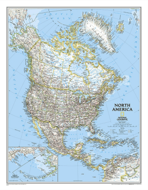

Plano Politieke Wandkaart Amerika North 60 x 77 cm - Nat Geo • 9780792250173
Wandkaart Amerika North 60 x 77 cm - Nat Geo Productomschrijving: From the far northern reaches of the Arctic Sea to the Isthmus of Panama, this Classic style political map of North America features trademark National Geographic detail and accuracy. The bright color palette features blue oceans and stunning shaded relief that has been a signature of National Geographic wall maps for ov…
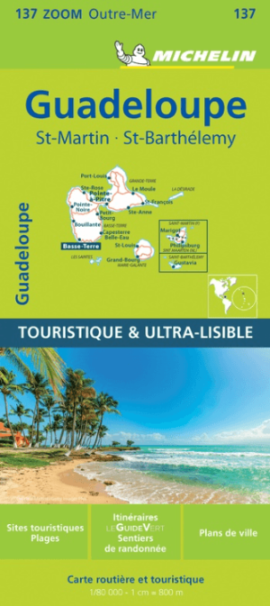
Landkaart Wegenkaart 137 Guadeloupe - Michelin • 9782067224506
Wegenkaart Guadeloupe - Michelin Productomschrijving:  De MICHELIN Guadeloupe zoomkaart is de ideale reisgenoot om deze Franse toeristische bestemming volledig te ontdekken dankzij het gebruiksvriendelijke formaat en de schaal van 1/80.000. De kaart bestrijkt de gebieden en steden van St Martin & St Barthelemy. De Zoom-collectie wordt gekenmerkt door de hoge nauwkeurigheid van de gedetaill…
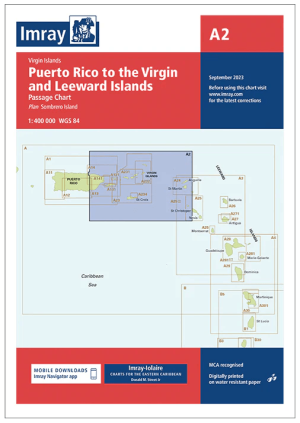
Passage kaart A0A2 Puerto Rico > Maagdeneilanden, CaraĂŻbische Zee • 9781786795137
Passagekaart Puerto Rico > Maagdeneilanden, Caraïbische Zee - Imray (F&B) Productomschrijving: Voor deze editie zijn magnetische variatiecurves toegevoegd. De kaart is volledig geactualiseerd.. (Freytag & Berndt) - 1 : 400.000 Kaart omvat: Puerto Rico naar St. Christopher, inclusief de Maagdeneilanden. Vlakke kaart, gedrukt op waterbestendig papier. De Imray Charts A-serie bestrijke…