
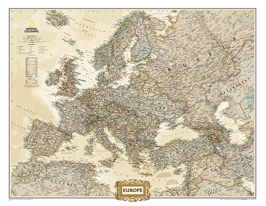
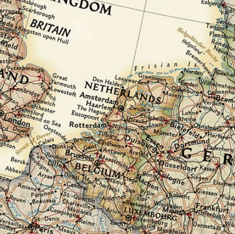
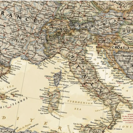
Politiek & Antieke Wandkaart Europa GROOT 116 x 90 cm - Nat Geo
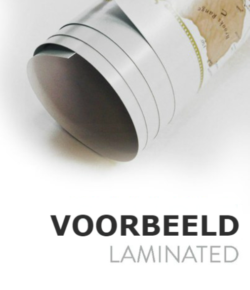
Geplastificeerd

Korte omschrijving
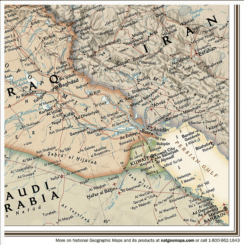
Wandkaart Europa GROOT 116 x 90 cm - Nat Geo Productomschrijving: The Executive political map of Europe is a striking example of the cartographic excellence National Geographic is known for....

Specificaties
- Uitgever: National Geographic
- ISBN-13: 9780792289876
- HOOFDCATEGORIEËN: Wandkaarten Planokaart/opgerold
- Activiteiten: Plano Antiek & Politieke Wandkaart
- Regio: Europa
- Land: Europa
- Waterafstotende kaart: National Geographic, Geplastificeerd
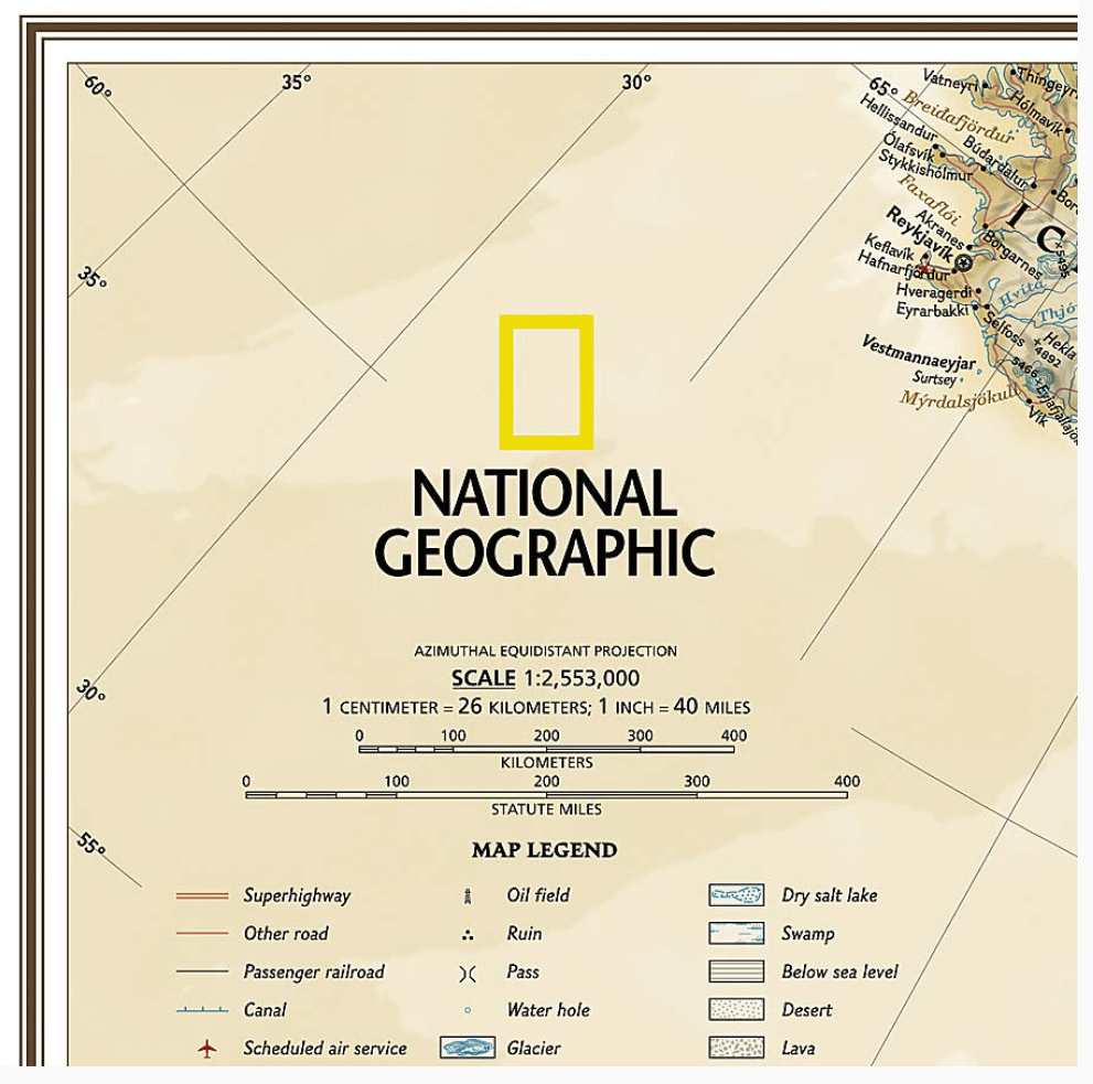
- Schaal: 1:5400000
- Taal: Engels
- Reeks/Serie: Planokaart/opgerold
- Wandkaarten & Planokaarten: Wandkaarten & Planokaarten
Volledige omschrijving
Wandkaart Europa GROOT 116 x 90 cm - Nat Geo
Productomschrijving: The Executive political map of Europe is a striking example of the cartographic excellence National Geographic is known for. The antique color palette, shaded relief, and easy-to-read fonts make this map both beautiful and functional. International boundaries are clearly defined and thousands of place names, waterbodies, airports, major highways and roads, national parks and more are included.
Covers: Albania, Armenia, Austria, Azerbaijan, Belarus, Belgium, Bosnia & Herzegovina, Bulgaria, Croatia, Cyprus, Czech Republic, Denmark, Estonia, Finland, France, Georgia, Germany, Greece, Hungary, Iceland, Ireland, Italy, Kosovo, Latvia, Liechtenstein, Lithuania, Luxembourg, Macedonia, Moldova, Montenegro, The Netherlands, Norway, Poland, Portugal, Romania, Russia, Serbia, Slovakia, Slovenia, Spain, Sweden, Switzerland, Turkey, Ukraine, and the United Kingdom.
Enlarged maps provide an immersive experience in any home or office environment. The exceptional cartography is even easier to appreciate at the larger size.
Afmeting: 116 x 90 cm
Gekoppelde artikelen

Plano Wandkaart Europa Gelamineerd - 124 x 88 cm - F&B • 5425013060271
weatherproof versiePlano Wandkaart Europa - F&B Productomschrijving: Politiek overzicht,elk land in een verschillende kleur. Met inzet: Scandinavië, Ijsland - Plaatsnamenregister op rugzijde van de kaart - Internationaal vliegveld, vliegveld - Vaarroutes

Plano Wandkaart Europa fysisch GROOT - 170 x 121 cm - F&B • 5425013068819
weatherproof versiePlano Wandkaart Europa fysisch GROOT - F&B Productomschrijving: De plano politieke wandkaarten van Freytag & Berndt brengen elk continent helder in beeld. Grote, duidelijke opgerolde kaart, zonder vouwen. Ideaal om meteen op te hangen in klaslokaal, kantoor of thuis. Landen, hoofdsteden, belangrijke steden en grenzen springen in het oog. Heldere kleuren zorgen voor contrast tussen land…
Artikelen uit dezelfde regio

Autoatlas Roatrips Europa - Lonely Planet • 9789000400355
Roatrips Europa - Lonely Planet Productomschrijving: De 50 mooiste roadtrips door Europa Of je er nu altijd al van hebt gedroomd om langs de kust van Schotland te rijden, autowegen door de Alpen te ontdekken of Europa met de auto te doorkruisen, Roadtrips Europa geeft je alle inspiratie die je nodig hebt voor een onvergetelijke roadtrip. De 50 routes gaan door 35 Europese landen, i…

Spoorwegenkaart Europe - Voyage en train - Cartotrain • 9782959394461
Spoorwegenkaart Europe - Cartotrain Productomschrijving: Ontdek en verken Europa per trein! Vind alle spoorlijnen van Europa waarop je kunt reizen. Er wordt onderscheid gemaakt tussen hogesnelheidslijnen, klassieke lijnen en trage lijnen: het land doorkruisen in enkele uren of genieten van het landschap dat zich langzaam ontvouwt – de keuze is aan jou! Meer dan 300 toeristische en his…

Landkaaart Wegenkaart Midden Europa - Freytag & Berndt • 9783707924152
Wegenkaart Midden Europa - Freytag & Berndt Productomschrijving: De beste manier om uw reis te plannen, uw reisschema voor te bereiden en zelfstandig te reizen in dit land. - De ene kant is de gedetailleerde kaart van deze gebieden en de andere kant is een volledige index voor deze kaart. - Toeristische informatie op de kaart omvat: - Interessante plaatsen - Luchthavens, kastelen…

Plano Wandkaart Europa groot - 170 x 121 cm - F&B • 5425013069427
Plano Wandkaart Europa groot - F&B Productomschrijving: De plano politieke wandkaarten van Freytag & Berndt brengen elk continent helder in beeld. Grote, duidelijke opgerolde kaart, zonder vouwen. Ideaal om meteen op te hangen in klaslokaal, kantoor of thuis. Landen, hoofdsteden, belangrijke steden en grenzen springen in het oog. Heldere kleuren zorgen voor contrast tussen landen en re…

Kampeergids Erkende Campings Europa 2026 - ANWB • 9789018054748
3.650 Erkende Campings Europa 2026 - ANWB Productomschrijving: Goed voorbereid op kampeervakantie. Wil je tijdens je kampeervakantie genieten van de rust en de ruimte die de natuur te bieden heeft? Dan is de ANWB-gids Erkende campings 2026 de ideale gids voor jouw vakantievoorbereiding. ‘Erkende campings’ zijn campings die door inspecteurs van de ANWB zijn beoordeeld met minimaal 3 sterren…