

Plano Wandkaart Frankrijk, België & Nederland 60x77 cm - Nat Geo
Geplastificeerd


Korte omschrijving
Wandkaart Frankrijk, België & Nederland 60x77 cm - Nat Geo Productomschrijving: National Geographic's Classic style political map of France, Belgium, and The Netherlands features clearly def...

Specificaties
- Uitgever: National Geographic
- ISBN-13: 9780792292616
- HOOFDCATEGORIEËN: Wandkaarten Planokaart/opgerold
- Activiteiten: Wandkaarten
- Regio: België, Frankrijk, Nederland
- Land: België, Frankrijk, Nederland
- Waterafstotende kaart: National Geographic, Geplastificeerd
- Schaal: 1:1953000
- Taal: Engels
- Reeks/Serie: Planokaart/opgerold
- Wandkaarten & Planokaarten: Wandkaarten & Planokaarten
Volledige omschrijving
Wandkaart Frankrijk, België & Nederland 60x77 cm - Nat Geo
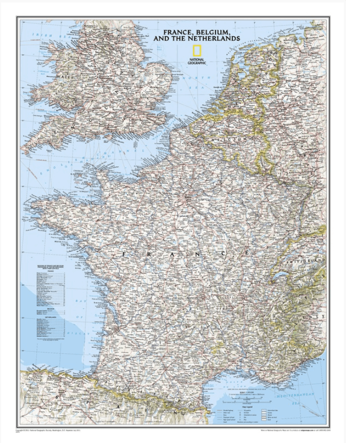
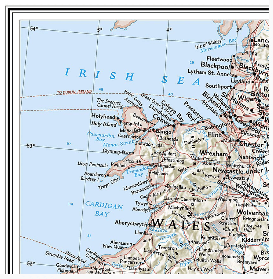
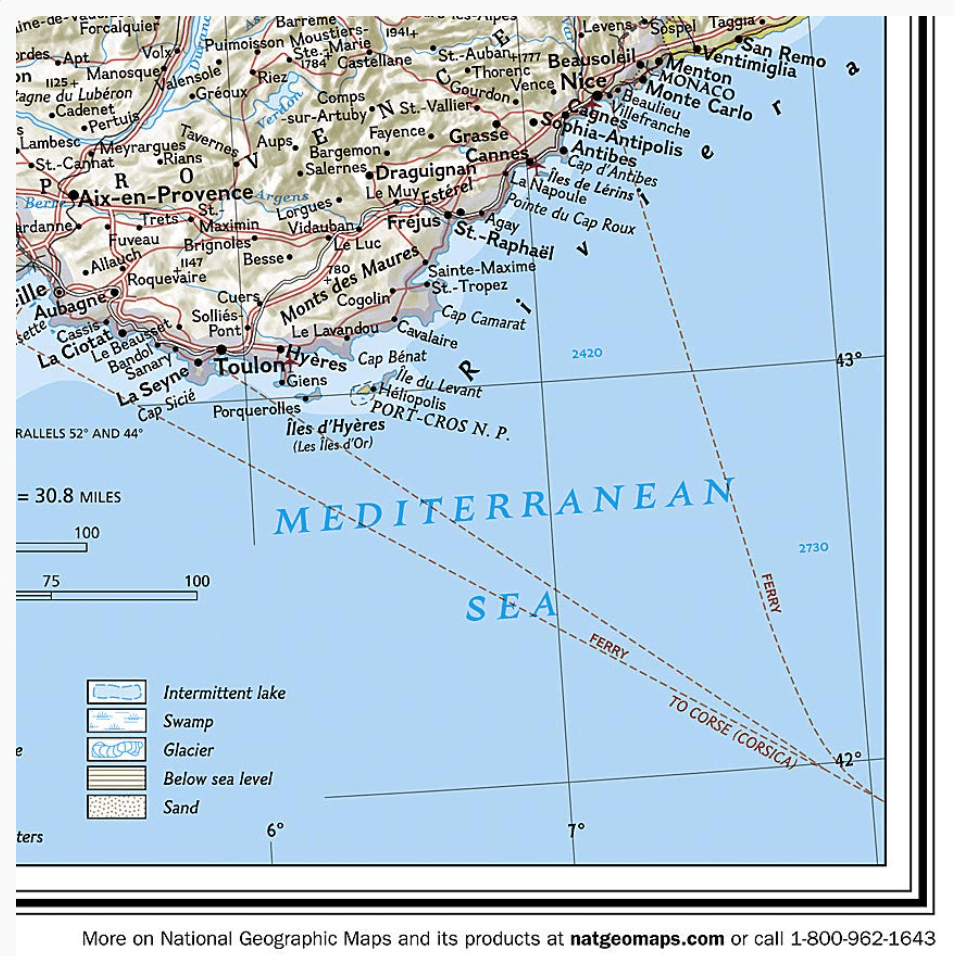
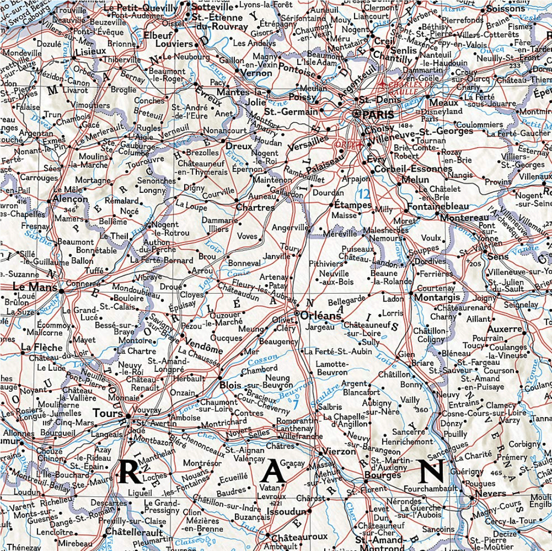
Productomschrijving: National Geographic's Classic style political map of France, Belgium, and The Netherlands features clearly defined international boundaries, thousands of place names, waterbodies, airports, major highways and roads, national parks, and much more. Also shown are the region's updated infrastructures, including major oil fields and pipelines; high-speed passenger railway lines; canals; and ferry routes.
The tasteful color palette, shaded relief, and bathymetric data make this map as attractive as it is functional. Luxembourg and portions of the United Kingdom, Germany, Switzerland, Spain, and Italy are shown as well.
Afmeting: 60 x 77 cm
Artikelen uit dezelfde regio

Guide Routard Belgique België 2026 - Le Routard • 9782017314349
Reisgids Belgique - Hachette toerisme Productomschrijving: Flâner dans les élégantes galeries Saint-Hubert, à Bruxelles. Suivre les traces des fashionistas, à Anvers. Se laisser porter par une barque au fil des canaux, à Bruges. Se délecter de croquettes de crevettes et d'une sole face à la mer du Nord, à Ostende. Faire la fête dans le Carré un samedi soir, à Liège. Fêter le carnaval et e…

Fietsgids EuroVélo 19 Route de La Meuse - Bikeline • 9783711101945
EuroVélo 19 Route de La Meuse - Bikeline Productomschrijving: De Maasfietsroute loopt door drie landen: Frankrijk, België en Nederland. De route volgt de rivier over een lengte van 1.080 kilometer vanaf de bron op het plateau van Langres in Oost-Frankrijk tot aan de monding in de Noordzee bij Hoek van Holland. Met zijn vele meanders, kliffen en pittoreske dorpjes verrast de route, die door…


Fietskaart Nederland basiskaart LF-routes 2025-2026 - B&S • 9789072930767
Fietskaart Nederland basiskaart LF-routes - B&S Productomschrijving: De Basiskaart LF-routes is de perfecte fietsvakantieatlas voor iedereen die weleens een weekend- of vakantietocht maakt. - 22 dubbelzijdig bedrukte detailkaarten. Op de Basiskaart LF-routes is het complete netwerk van Landelijke Fietsroutes weergegeven. Dit is zo'n 4500 kilometer aan lange-afstandsroutes, in twee ric…

Reisgids Pays-Bas 2025-2026 - Petit Futé • 9782305114835
Op reis in Nederland Productomschrijving : Celui qui affirme qu'un voyage aux Pays-Bas est monotone est tout sauf un aventurier. Car ce plat pays de polders, aux vastes prairies verdoyantes où paissent des vaches grasses, entrecoupé de canaux et parsemé çà et là de moulins, est une terre de combat. Le peuple batave s'est épuisé à repousser la mer pour étendre son territoire. Ce petit pays…

Landkaart Wegenkaart 795 Benelux 2026 (Onverscheurbaar) Michelin • 9782067270398
Wegenkaart Benelux 2026 (Onverscheurbaar) Michelin Productomschrijving: Deze gloednieuwe versie van de wegenkaart voor de Benelux voor 2026 is ONVERSCHEURBAAR!, en omvat alle straten, Hoofdwegen, Toeristische informatie en locaties. - Nationale kaarten - Wegenkaarten national: een overzicht van het land voor lange trajecten - Schaal aangepast aant het land - Kaarten met jaartal v…