
Plano Antieke Wandkaart Duitsland 60 x 77 cm - Nat Geo
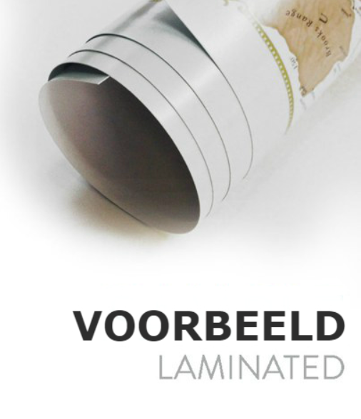
Geplastificeerd


Korte omschrijving
Antieke Wandkaart Duitsland 60 x 77 cm - Nat Geo Productomschrijving: National Geographic's antique-inspired Executive style political map of Germany is as attractive as it is functional, ma...

Specificaties
- Uitgever: National Geographic
- ISBN-13: 9781597752855
- HOOFDCATEGORIEËN: Wandkaarten Planokaart/opgerold
- Activiteiten: Plano Antiek & Politieke Wandkaart
- Regio: Duitsland
- Land: Duitsland
- Waterafstotende kaart: National Geographic, Geplastificeerd
- Schaal: 1:1375000
- Taal: Engels
- Reeks/Serie: Planokaart/opgerold
- Wandkaarten & Planokaarten: Wandkaarten & Planokaarten
- De Duitse Regio's: Baden-Württemberg, Bayern Duitsland, Berlijn, Bodensee, Duitsland, Brandenburg, Bremen, Hamburg, Hessen, Mecklenburg-Vorpommern, Niedersachen, Nordrhein-Westfalen, Rijnland-Paltz, Saarland, Sachsen, Sachsen-Anhalt, Schleswig-Holstein, Spreewald, Brandenburg Duitsland, Thüringen
Volledige omschrijving
Antieke Wandkaart Duitsland 60 x 77 cm - Nat Geo
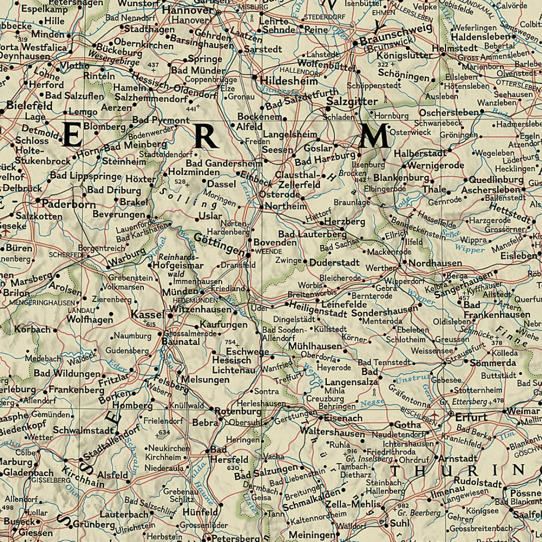
Productomschrijving: National Geographic's antique-inspired Executive style political map of Germany is as attractive as it is functional, making it the perfect addition to any home or office decor. The country, along with neighboring areas of Denmark, Poland, Czech Republic, Austria, Switzerland, France, Belgium and the Netherlands, as well Luxembourg in its entirety are shown with clearly defined international borders, shaded relief and thousands of place names, displayed in easy-to-read fonts.
Major infrastructure networks are noted, such as airports, highways and roads, canals, high-speed and passenger railroads, oil fields and pipelines, and ferry routes in the North and Baltic Seas.
Afmeting: 60 x 77 cm
Artikelen uit dezelfde regio

Plano Wandkaart Duitsland 58 x 76 cm - Nat Geo • 9780792250265
Wandkaart Duitsland 58 x 76 cm - Nat Geo Productomschrijving: National Geographic's map of Germany is as attractive as it is functional. Rendered in the Classic style with colorful, clearly defined international borders, shaded relief, and easy-to-read fonts, this map includes thousands of place names. Major infrastructure such as airports, major roadways, canals, high-speed and passenger …
Campergids Die besten Wohnmobil-Stellplätze - Bruckman verlag • 9783734308956
Die besten Wohnmobil-Stellplätze Deutschland - Bruckman Productomschrijving: Met Die besten Wohnmobil-Stellplätze Deutschland, ontdek je Duitsland op een andere manier: vrijer, rustiger en dichter bij de natuur. Deze Duitstalige campergids van Torsten Berning bundelt bijzondere camperplaatsen voor reizigers die niet zomaar een standaard camping zoeken, maar plekken met sfeer, uitzicht en …

Fietsgids Deutschland Traumtouren mit dem E-Bike - BVA-Bikemedia • 9783969902424
Deutschland Traumtouren mit dem E-Bike - Bielefelder Productomschrijving: (Duitstalig) Deutschland, Traumtouren mit dem E-Bike Traumhaftes Radfahren in Deutschland - die schönste Art das Land zu entdecken! Erlebe die Freiheit des E-Bike-Fahrens und entdecke dabei die schönsten Ecken Deutschlands! Dieses Buch bietet die besten Anregungen für traumhafte Radtouren durch unser v…
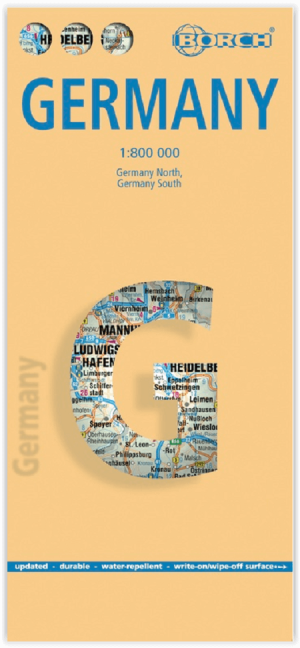
Landkaart Duitsland - Borch • 9783866093171
Landkaart Duitsland - Borch Productomschrijving: Our soft-laminated folded map of Germany in the 15th edition shows: Germany North 1:800 000, Germany South 1:800 000, Germany administrative, Europe time zones. Borch Maps are easy to fold, durable and water-repellent with a wipeable surface. Borch Maps show hotels, museums, monuments, markets, public transport, top sights and points of inte…

Wandelgids Das Grüne Band: Wandern in Wilden Deutschland • 9783734321405
Das Grüne Band: Wandern in Wilden Deutschland - Bruckman Productomschrijving: Das Grüne Band – Wandern im wilden Deutschland, is een Duitstalige wandelgids voor wie natuur en recente geschiedenis in één lange route wil combineren. Reiner Cornelius beschrijft het Duitse Groene Band, de voormalige grenszone tussen Oost- en West-Duitsland, die vandaag uitgroeit tot een bijzonder natuurgebied.…