

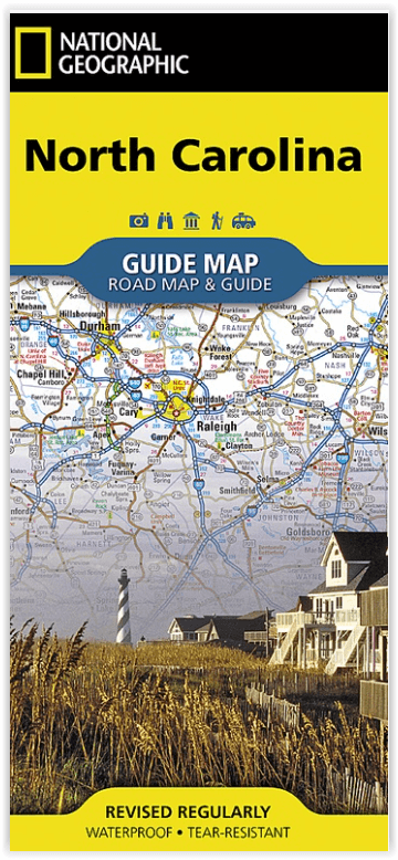
Landkaart Wegenkaart North Carolina State Guide Maps- Nat Geo
Raleigh-Durham- Asheville- Charlotte- Winston-Salem-Greensboro...

Korte omschrijving
Wegenkaart North Carolina State Guide Maps - Nat Geo Productomschrijving: National Geographic's North Carolina Guide Map is designed to meet the needs of travelers with detailed and accurate...

Specificaties
- Uitgever: National Geographic
- ISBN-13: 9781566957762
- HOOFDCATEGORIEËN: Wegenkaart - Landkaart
- Activiteiten: Street/Road maps & city plans
- Auteur: National Geographic
- Regio: North Carolina, USA
- Land: Verenigde Staten van Amerika (USA)
- TOPO's & Stafkaarten: Topografisch wandelen
- Schaal: 1:1330000
- Taal: Engels
- Reeks/Serie: Nat Geo, State Guide Maps
Volledige omschrijving
Wegenkaart North Carolina State Guide Maps - Nat Geo
Productomschrijving: National Geographic's North Carolina Guide Map is designed to meet the needs of travelers with detailed and accurate cartography and loads of helpful information about the state's many attractions. Hundreds of points of interest are shown, along with national and state parks, public campsites, visitor information centers, airports, ski areas, hospitals, and more. Cities and towns are clearly indicated and easy to find in the user-friendly index. Highways, roadways, toll roads, scenic routes, and other roads, as well as ferry routes are clearly designated. Distances in miles are noted on major highways so travelers can easily plan their best route.
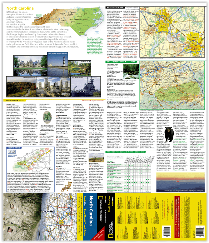
A chart of park service sites and climate information will be particularly helpful to travelers taking in the many outdoor activities in North Carolina. Inset maps of Raleigh-Durham, Asheville, Charlotte, Winston-Salem-Greensboro, Fayetteville, Wilmington, and Western North Carolina provide greater detail of key areas of the state. Maps and information about Blue Ridge Parkway and Great Smoky Mountains National Park highlight some of the extraordinary beauty to be found in the state.
Every State Guide Map is printed on durable synthetic paper, making them waterproof, tear-resistant and tough — capable of withstanding the rigors of any kind of travel.
Artikelen uit dezelfde regio
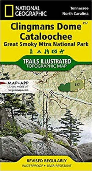
Wandelkaart 317 Clingman's Dome & Cataloochee - Natgeo • 9781566955010
TOPO Wandelkaart 317 - Clingman's Dome & Cataloochee - Nat Geo Productomschrijving: Clingmans Dome is een bergtop in de Great Smoky Mountains van Tennessee en North Carolina, in het zuidoosten van de United States. Cataloochee is dan weer een vallei in de Great Smoky Mountains van North Carolina, gelegen in het zuidoosten van de United States, en is nu een recreatieve regio en historische …

Reisgids Great Smokey Mountains - Lonely Planet • 9781838697921
The Great Smokey Mountains - Lonely Planet. Productomschrijving: Ga terug naar de natuur tussen in mist gehulde bergtoppen, glinsterende watervallen en weelderige bossen in de grote Amerikaanse wildernis. Lonely Planet brengt je naar het hart van Great Smoky Mountains National Park, met geweldige reiservaringen en het beste planningsadvies. Lonely Planet's Great Smoky Mountains Nationa…
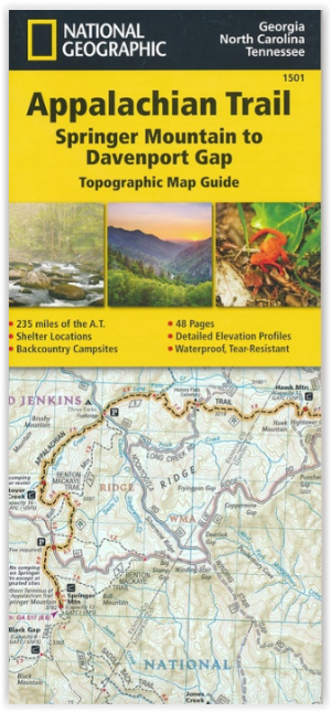
Wandelkaart 1501 Appalachian Trail - Deel 1 - Natgeo • 9781597756389
TOPO Wandelkaart 1501 - Springer Mt to Davenport Gap - Natgeo Productomschrijving: Deel 1 - 3500 km wonderbaarlijke route van Main tot in Atlan. Deze kaart omvat het eerste deel van 13 van Springer mountain tot aan Davenport Gap. Omvat de regio's Georgia, North Carolina & Tennessee. Engelse omschrijving: The Springer Mountain to Davenport Gap Topographic Map Guide makes a perfect trav…

Wandelkaart 784 Fontana and Hiwassee Lakes - Nat Geo • 9781566953337
Fontana lake and Hiwassee Lake - Nat Geo Productomschrijving: Genesteld tussen de Cherokee en Chattahoochee National Forests, ligt Nantahala National Forest met zijn overvloed aan recreatieve mogelijkheden. National Geographic's Trails Illustrated kaart van Fontana en Hiwassee Lakes levert ongeëvenaarde details en waardevolle informatie om u te helpen bij uw verkenning van dit bos. Deskun…

Wandelkaart 779 Linville Gorge & Mt. Mitchell - Nat Geo • 9781566954228
TOPO Wandelkaart 779 - Linville Gorge & Mt. Mitchell - National Geographic Productomschrijving: De Linville Gorge Wilderness ("Grand Canyon of North Carolina") is het derde grootste wildernis regio in North Carolina. Engekse omschrijving: Expertly researched and created in partnership with local land management agencies, National Geographic's Trails Illustrated map of Linville Gorge an…