

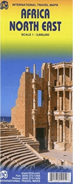
Landkaart Wegenkaart Noordoost Afrika - ITMB
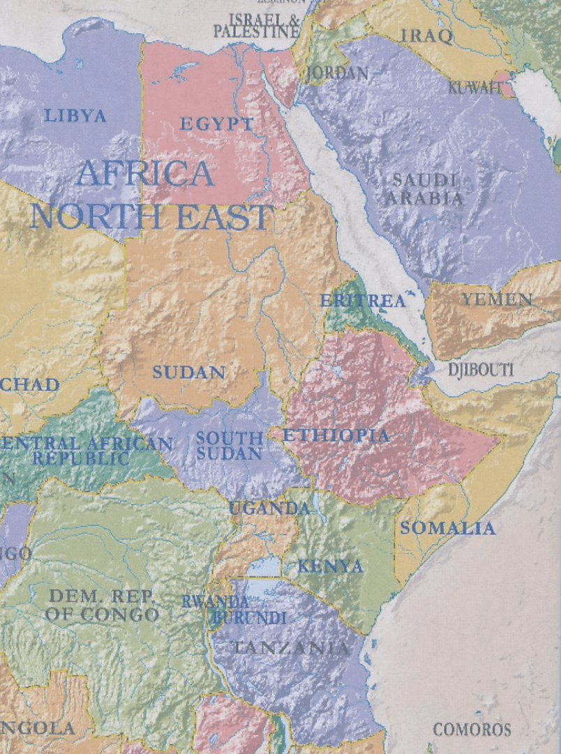
Libya, Egypt, Sudan/South Sudan, Ethiopia/Eritrea, Kenya/Uganda..
Korte omschrijving
Wegen- & stadskaarten Noord Oost Afrika van ITMB Publishing Ltd. Ideaal voor tochten in Oost-Afrika.
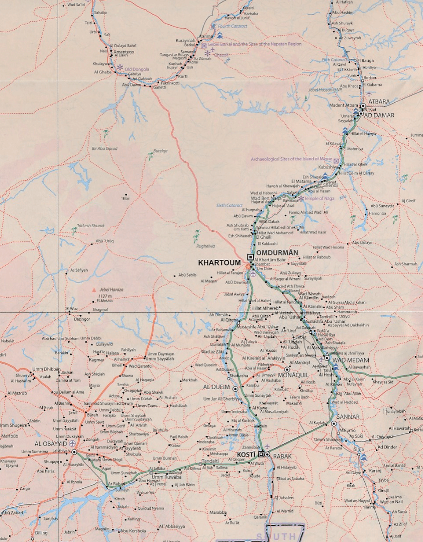
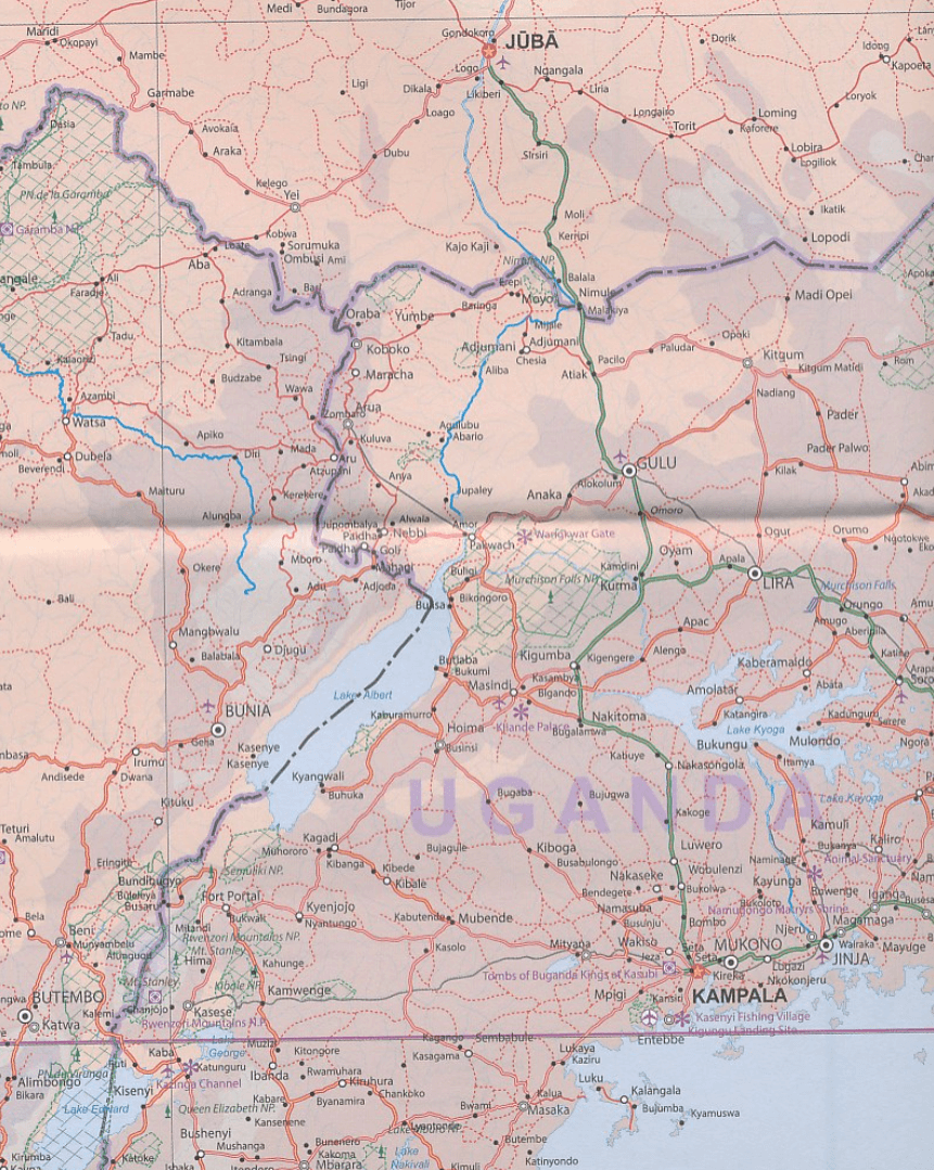
Wegenkaart Noordoost Afrika - ITMB Productomschrijving: The essential areas of coverage are Libya and Egypt in the north, with Sudan/South Sudan, Ethiopia/Eritrea in the middle and Kenya/Uga...

Specificaties
- Uitgever: ITMB Publishing Ltd
- ISBN-13: 9781553419211
- HOOFDCATEGORIEËN: Wegenkaart - Landkaart
- Activiteiten: Street/Road maps & city plans
- Regio: Noord Oost Afrika
- Land: Oost-Afrika
- Schaal: 1:3800000
- Editie: 1
- Taal: Engels
- Reeks/Serie: International travel Maps
Volledige omschrijving
Wegenkaart Noordoost Afrika - ITMB
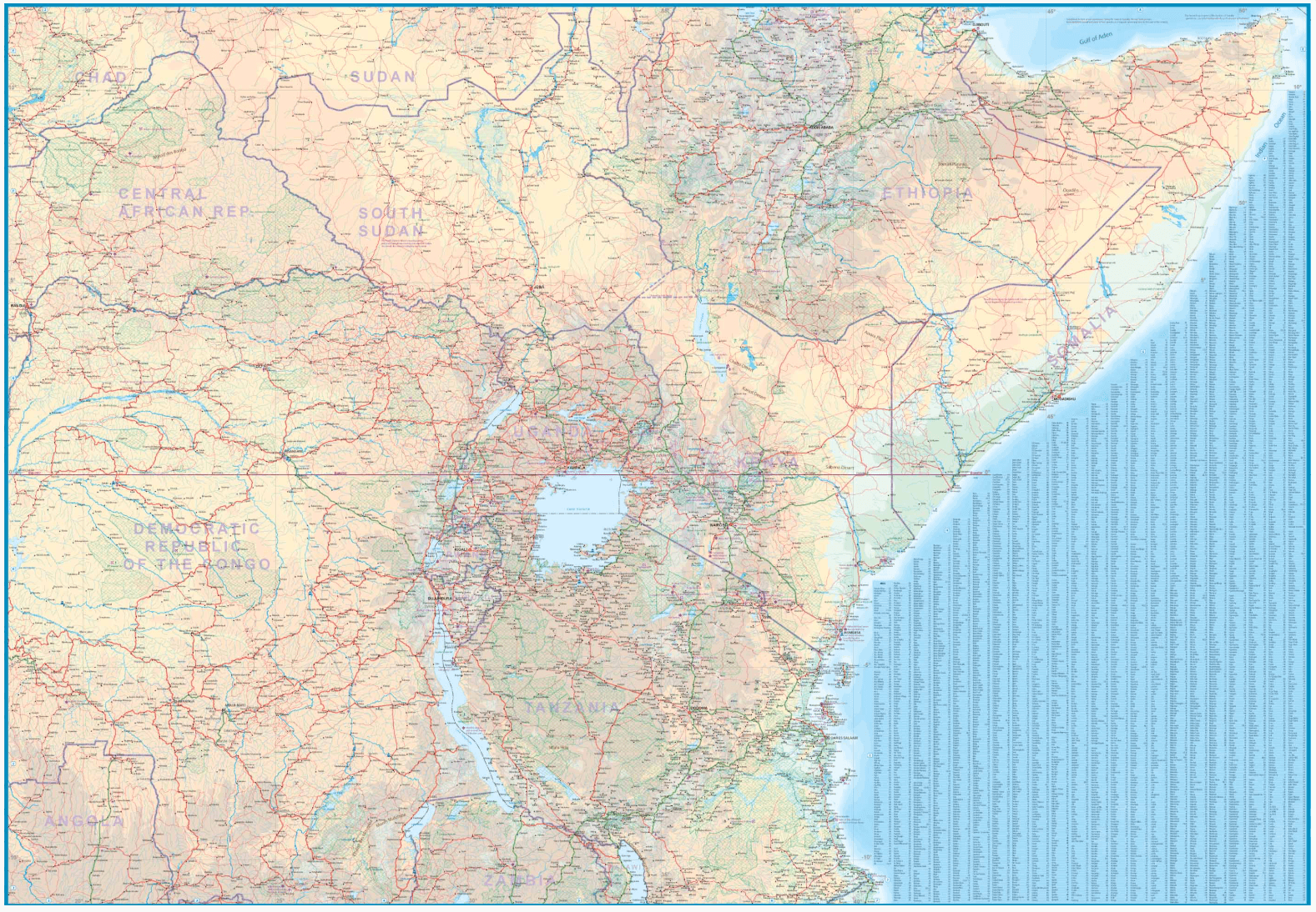
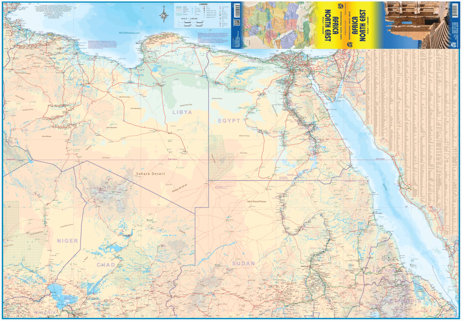
Productomschrijving: The essential areas of coverage are Libya and Egypt in the north, with Sudan/South Sudan, Ethiopia/Eritrea in the middle and Kenya/Uganda in the south, with a fair portion of Tanzania and Congo thrown in simply because it fits. Being a regional map, it is useful for the 'big' picture. It is quite detailed, showing roads, towns, and major touristic sites.
Legend includes: road by classification, main road, national park, lake, capital, international airport, oasis, ruins, hotels etc.