

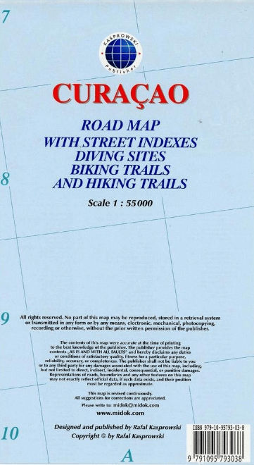
Landkaart Wegenkaart Curaçao Zuidelijke Caraïben - Kasprowski
Willemstad - Grote Berg - Tera Kora - Barber - Klein Curaçao
Korte omschrijving
Curaçao Zuidelijke Caraïben - Kasprowski Productomschrijving: De meest actuele en enige complete wegenkaart van Curaçao (Schaal 1 : 55 000), met op de achterzijde het hele stadsgebied van Wi...
Specificaties
- Uitgever: Kasprowski Publisher
- ISBN-13: 9791095793038
- HOOFDCATEGORIEËN: Wegenkaart - Landkaart
- Activiteiten: Wandelen, Hiking & Trekking
- Regio: Caraïbische eilanden, Centraal Amerika, Zuidelijke Caraïbische Zee
- Land: Netherlands Antilles
- Schaal: 1:55000
- Taal: Engels
- De Caraïbische eilanden: Curaçao, Caraïben
Volledige omschrijving
Curaçao Zuidelijke Caraïben - Kasprowski
Productomschrijving: De meest actuele en enige complete wegenkaart van Curaçao (Schaal 1 : 55 000), met op de achterzijde het hele stadsgebied van Willemstad, van de internationale luchthaven tot aan Spanse (Schaal 1 : 18 500). Inlegvellen van het centrum van Willemstad (Schaal 1 : 8 000), Grote Berg (Schaal 1 : 6 000), Tera Kora (Schaal 1 : 6 000), Barber (Schaal 1 : 6 000), en het eiland Klein Curaçao (Schaal 1 : 55 000) zijn ook inbegrepen. Alle kaarten en inlegvellen zijn voorzien van een grondige stratenindex. De kaart toont alle bekende wegen en straten van het eiland met hun namen, toont de vele duiklocaties en geeft een uitgebreide set fietsroutes en wandelpaden aan.
Engelse omschrijving: The most up-to-date and only complete road map of Curaçao (Scale 1 : 55 000), as well as the entire Willemstad urban area on the reverse, spanning from the international airport to Spanse (Scale 1 : 18 500). Insets of the Willemstad center (Scale 1 : 8 000), Grote Berg (Scale 1 : 6 000), Tera Kora (Scale 1 : 6 000), Barber (Scale 1 : 6 000), and the island Klein Curaçao (Scale 1 : 55 000) are also included. All maps and insets come with thorough street indexes. The map shows all the island's known roads and streets with their names, displays its many diving sites, and indicates an extensive set of biking routes and hiking trails.
It contains the following features:
• Attractive full color layout with high-quality glossy finish; rich topographic detail;
• Main and secondary roads; diving, shipwreck, and aircraft wreck sites; biking and hiking trails; beaches, bays, and reefs; national parks.
• International airport, parking areas, sports arenas, hospitals, lighthouses, gas stations, places of worship, ferries, schools, museums.
• Symbol key and scale; depth curves, soundings, heights, and contour lines in meters, longitude and latitude lines and other identifiers.
Locatie op kaart
Artikelen uit dezelfde regio

Landkaart Wegenkaart 138 Martinique - Michelin • 9782067224513
Wegenkaart Martinique - Michelin Productomschrijving: De MICHELIN Martinique zoomkaart is de ideale reisgenoot om deze populaire Franse bestemming volledig te ontdekken, dankzij het gebruiksvriendelijke formaat en de schaal van 1:150.000. De Zoom-collectie wordt gekenmerkt door de hoge nauwkeurigheid van de gedetailleerde schaal, speciaal aangepast voor gebieden met een hoog toeristisch o…
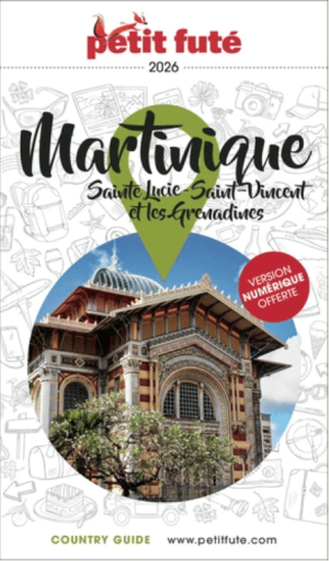
Reisgids Martinique, Sainte Lucie & Saint-Vincent - Petit Futé • 9782305133324
Reisgids Martinique, Sainte Lucie & Saint-Vincent - Petit Futé Productomszchrijving: La Martinique est une île de 1 080 km². Ce petit bout de terre présente cependant de multiples facettes, tant au niveau de la diversité des paysages que des activités à pratiquer durant son séjour. Le sud du pays est réputé pour ses anses accueillantes aux belles plages de sable blanc, un attrait balnéaire…
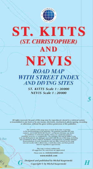
Landkaart Wegenkaart Saint Kitts & Nevis Caraïben - Kasprowski • 9791095793113
Saint Kitts & Nevis Caraïben - Kasprowski Productomschrijving: Deze eerste en enige complete wegen- en stratenkaart met stratenindex van de tweelingeilanden St. Kitts, schaal 1:30 000, en Nevis, schaal 1:20 000, biedt wegen en straten met hun namen, traceert wandelpaden, duiklocaties en parochiegrenzen, en toont inzetstukken van de hoofdsteden van de eilanden, Basseterre en Charlestown. …

Reisgids Cuba - Mini Rough Guide • 9781835290446
Reisgids Cuba - Rough Guide Productomschrijving: This mini pocket Cuba travel guidebook is perfect for travellers seeking basic information about Cuba. It covers key places, main attractions and a short hotel and restaurant recommendations list. This book is printed on paper from responsible sources, verified to meet FSC's strict environmental and social standards. Covers: Havana, Pina…
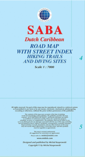
Landkaart Wegenlaart Saba Dutch Caribbean - Kasprowski • 9791095793137
Saba Dutch Caribbean - Kasprowski Productomschrijving: Deze eerste en enige complete wegenkaart met stratenindex van Saba (Schaal 1 : 7 000) geeft alle bekende wegen en straten van het eiland met hun namen weer en lokaliseert wandelpaden en duiklocaties. Engelse omschrijving: This first and only complete road map with a street index of Saba (Scale 1 : 7 000) renders all the island's kn…