

Landkaart Wegenkaart Bonaire Nederlandse Antillen - Kasprowski
De meest up-to-date en enige complete kaart van Bonaire

Korte omschrijving
Bonaire Nederlandse Antillen - Kasprowski Productomschrijving: De meest up-to-date en enige complete wegenkaart van Bonaire (Schaal 1 : 40 000), evenals het stedelijk gebied van Kralendijk, ...
Specificaties
- Uitgever: Kasprowski Publisher
- ISBN-13: 9791095793021
- HOOFDCATEGORIEËN: Wegenkaart - Landkaart
- Activiteiten: Wandelen, Hiking & Trekking
- Regio: Caraïbische Zee, Caraïbische eilanden, Centraal Amerika
- Land: Netherlands Antilles
- Schaal: 1:40000
- Taal: Engels
- De Caraïbische eilanden: Bonaire, Nederlandse Antille Caraïben
Volledige omschrijving
Bonaire Nederlandse Antillen - Kasprowski
Productomschrijving: De meest up-to-date en enige complete wegenkaart van Bonaire (Schaal 1 : 40 000), evenals het stedelijk gebied van Kralendijk, vanaf Santa Barbara Crowns, via het vliegveld, tot Punt Vierkant (Schaal 1 : 15 000). Een inzet van Rincon (Schaal 1 : 12 000) is ook inbegrepen. Alle kaarten en inzetstukken zijn voorzien van een grondige stratenindex.
Alle officiële duiklocaties rond Bonaire en Klein Bonaire worden weergegeven, de meeste met hun GPS-locaties, zoals vastgelegd door STINAPA, de officiële stichting voor natuurbehoud van het eiland. De kaart toont alle bekende wegen en straten van het eiland met hun namen, evenals een uitgebreide set fietsroutes en kajakroutes.
Engelse omschrijving: The most up-to-date and only complete road map of Bonaire (Scale 1 : 40 000), as well as the Kralendijk urban area, spanning from Santa Barbara Crowns, through the airport, to Punt Vierkant (Scale 1 : 15 000). An inset of Rincon (Scale 1 : 12 000) is also included. All maps and insets come with thorough street indexes.
All of the official diving sites around Bonaire and Klein Bonaire are displayed, most of them with their GPS locations, as recorded by STINAPA, the island's official conservation foundation. The map shows all the island's known roads and streets with their names, as well as an extensive set of biking routes and kayaking trails.
It contains the following features:
• Attractive full color layout with high-quality glossy finish; rich topographic detail;
• Main and secondary roads; diving, snorkeling, and shipwreck sites; biking, hiking, and kayaking trails; beaches, bays, reefs, and marinas.
• Indian inscriptions (petroglyphs), labor camps, watermills, and other historic sites; international airport, parking areas, sports arenas.
• Symbol key and scale; depth curves, soundings, heights, and contour lines in meters, longitude and latitude lines and other identifiers.
Locatie op kaart
Artikelen uit dezelfde regio

Reisgids Cuba 2025 - Petit Futé • 9782305114712
Reisgids Cuba - Petit Futé Productomschrijving: Dotée de près de 4 000 km de côtes, Cuba offre une quantité impressionnante de belles plages aux eaux cristallines. Amis plongeurs, à vos bouteilles, l'île offre en effet de superbes sites dignes des meilleurs spots comme Maria la Gorda, l'isla de la Juventud et la baie des cochons (playa Larga, playa Girón). Cuba est à l'image du métissa…

Reisgids Experience Guide Virgin Islands, Caribian- Lonely Planet • 9781837586813
Reisgids Virgin Islands, Caribian - Lonely Planet Productomschrijving: This latest edition of Lonely Planet's Experience US & British Virgin Islands travel guide reveals exciting new ways to explore this iconic region with all the tools you need to create your own unique trip. Discover amazing local experiences from snorkelling around boulders on uninhabited Prickly Pear Island looking for…
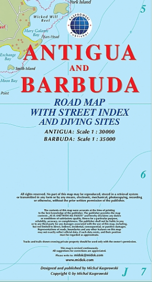
Landkaart Wegenkaart Antigua & Barbuda CaraIben - Kasprowski • 9791095793052
Landkaart Wegenkaart Antigua & Barbuda CaraIben - Kasprowski Productomschrijving: De eerste en enigste volledige wegenkaart met een stratenindex van de eilandstaat Antigua en Barbuda. Geeft al de gekende wegen en straatnamen, wandelpaden, duikplaatsen, ... met inzetten van de hoofdstad St. John's en Codrington, en verschillende scheepswrakken op Barbuda. - 1:30 000 schaal Antigua - 1…
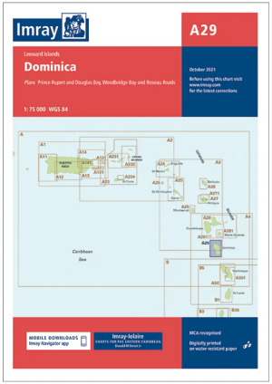
Passagekaart A29 Dominica, kleine antillen Caraïben - Imray • 9780852889893
Passagekaart Dominica, kleine antillen Caraïben - Imray Productomschrijving: Voor deze editie zijn magnetische variatiecurves toegevoegd. De kaart is volledig geactualiseerd.. (Freytag & Berndt) - 1 : 75.000 - Kaart omvat: Prince Rupert en Douglas Bays, Roseau Roads en Woodbridge Bay. Dit zijn Vlakke kaarten, gedrukt op waterbestendig papier. De Imray Charts A-serie bestrijken de Bene…
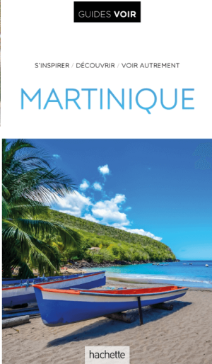
Guide VOIR Le Martinique - Hachette • 9782017197706
Reisgids Le Martinique - Hachette Productomschrijving: Le Guide Voir vous fait découvrir la Martinique avec des dessins uniques des grands sites, des plans aériens des villes principales, des centaines de photos et des cartes détaillées. Un très beau guide pour voyager ou rêver ! Un chapitre d’introduction tout en images, pour vous inspirer et découvrir tout ce qui compte à la Martiniq…