

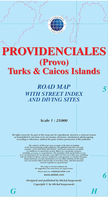
Landkaart Providenciales - Turks & Caicos Islands - Kasprowski
The Turks and Caicos island of Providenciales
Korte omschrijving
Providenciales - Turks & Caicos Islands - Kasprowski Productomschrijving: Deze eerste en enige complete wegen- en stratenkaart met stratenindex van het Turks- en Caicoseiland Providenciales ...
Specificaties
- Uitgever: Kasprowski Publisher
- ISBN-13: 9791095793069
- HOOFDCATEGORIEËN: Wegenkaart - Landkaart
- Activiteiten: Wandelen, Hiking & Trekking
- Regio: Caraïbische Zee, Caraïbische eilanden, Centraal Amerika
- Land: Turks & Caicos Islands
- Schaal: 1:25000
- Taal: Engels
- De Caraïbische eilanden: Turks & Caicos Islands, Caraïben
Volledige omschrijving
Providenciales - Turks & Caicos Islands - Kasprowski
Productomschrijving: Deze eerste en enige complete wegen- en stratenkaart met stratenindex van het Turks- en Caicoseiland Providenciales (Provo), schaal 1:25 000, geeft wegen en straten met hun namen weer en lokaliseert duiklocaties. Deze uitstekende kaart is ontworpen voor reizigers en biedt een ongeëvenaarde dekking van het eiland. De uitgebreide informatie en diepte van de details passen bij een breed scala aan interesses. De kaart heeft heuvelschaduw, drie wegenniveaus (voetpaden, secundaire wegen en hoofdwegen) en symbolen die een groot aantal fysieke kenmerken weergeven.
Engelse omschrijving: This first and only complete road and street map with a street index of the Turks and Caicos island of Providenciales (Provo), 1 : 25 000 scale, renders roads and streets with their names, and locates diving sites. Designed for travelers, this excellent map has unsurpassed coverage of the island, and its extensive information and depth of detail fit a broad range of interests. The map has hill shading, three levels of roads (footpaths, secondary roads, and main roads) and symbols representing a large number of physical features.
It contains the following features:
• Attractive full color layout;
• Rich topographic detail;
• Symbol key and scale;
• An airport (international), beaches, cemeteries, churches, diving sites, a ferry line, gas stations, geological formations, a golf course, a hospital.
• Depth curves, soundings in meters, longitude and latitude lines and other identifiers.
Locatie op kaart
Artikelen uit dezelfde regio
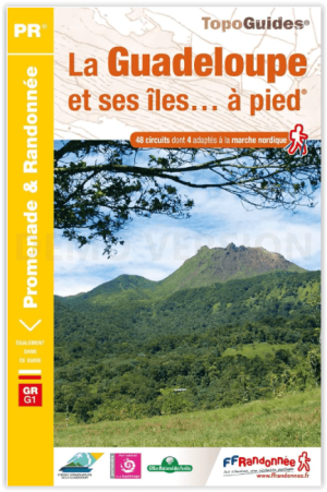
Wandelgids D971 Guadeloupe & ses îles à pied - FRR • 9782751412714
Wandelgids Guadeloupe & ses îles à pied - FRR Productomschrijving: 49 wandelingen door Guadeloupe, om de ongerepte natuur te verkennen en deel te nemen aan de traditionele Creoolse cultuur. Grande-Terre heeft indrukwekkende kliffen met een prachtig uitzicht, toegankelijk voor alle niveaus. Deze gids biedt meer uitdagende wandelingen op Basse-Terre, met name via de 1.467 meter hoge vulkaan …

Guide VOIR Cuba - Hachette • 9782017021216
Guide de voyage - Voir Cuba - Le Routard Déscription de produits: Les guides Voir, les guides les plus illustrés du marché, vous montrent ce que les autres racontent ! Un concept unique qui vous dévoile les merveilles de Cuba: des dessins et des plans en 3D des plus beaux monuments et des quartiers historiques, avec des centaines de photos. Région par région, découvrez tout ce qu’il fa…

Reisgids Cuba NED - Insight Guides • 9789066554764
Reisgids - Cuba - Insight Guides Productomschrijving: Cuba heeft een magische aantrekkingskracht en is daardoor een van de mooiste en spannendste reisbestemmingen in het Caribisch gebied. De auteurs en fotografen laten u op de bekende, onovertroffen en veelvuldig bekroonde Insight Guide-wijze in woord en beeld kennismaken met dit prachtige eiland vol tegenstellingen. In de eerste hoofdstuk…
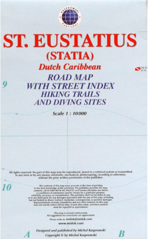
Landkaart Wegenkaart Saint Eustatius & Statia - Kasprowski • 9791095793106
Saint Eustatius & Statia Nederlandse Antillen - Kasprowski Productomschrijving: Deze eerste en enige complete wegenkaart met stratenindex van het Nederlandse Caribische eiland Sint Eustatius (Statia, schaal 1:10 000) toont alle bekende wegen en straten met hun namen, evenals wandelpaden, duiklocaties, nationale parken Quill en Boven, en vele andere reisbestemmingen. Deze uitstekende ka…
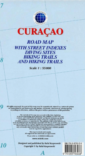
Landkaart Wegenkaart Curaçao Zuidelijke Caraïben - Kasprowski • 9791095793038
Curaçao Zuidelijke Caraïben - Kasprowski Productomschrijving: De meest actuele en enige complete wegenkaart van Curaçao (Schaal 1 : 55 000), met op de achterzijde het hele stadsgebied van Willemstad, van de internationale luchthaven tot aan Spanse (Schaal 1 : 18 500). Inlegvellen van het centrum van Willemstad (Schaal 1 : 8 000), Grote Berg (Schaal 1 : 6 000), Tera Kora (Schaal 1 : 6 000),…