
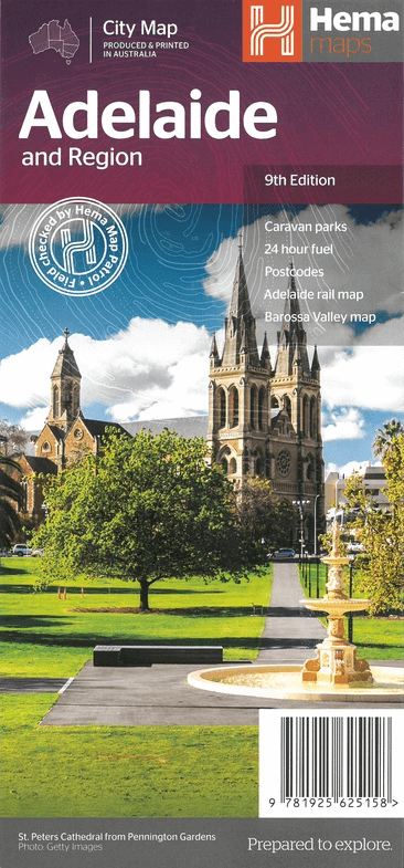
Landkaart Adelaide & omgeving - Hema Maps
Major roads, local streets and suburbs

Korte omschrijving
Wandelkaarten Adelaide, South Australiä en Zuid Australië van Hema Maps. Ideaal voor tochten in Australië.
Wegenkaart Landkaart Adelaide & omgeving - Hema Productomschrijving: A map of Greater Adelaide (1:80,000) that features highways, major roads, local streets and suburbs in addition to 24-hou...

Specificaties
- Uitgever: Hema Maps
- ISBN-13: 9781925625158
- HOOFDCATEGORIEËN: Wegenkaart - Landkaart
- Activiteiten: Street/Road maps & city plans, Toerisme
- Regio: Adelaide, South Australiä, Zuid Australië
- Land: Australië
- Schaal: 1:80000
- Editie: 9
- Taal: Engels
Volledige omschrijving
Wegenkaart Landkaart Adelaide & omgeving - Hema
Productomschrijving: A map of Greater Adelaide (1:80,000) that features highways, major roads, local streets and suburbs in addition to 24-hour fuel, parks and caravan parks marked on the mapping. On the reverse is an Adelaide City map that has accommodation, shopping, theatres, places of interest and more highlighted, accompanied by an Adelaide CBD street index. Also included is an Adelaide Region map (1:270,000), an Adelaide Rail Network map and a Barossa Valley map (1:9,217).
Australia’s wine and festival capital, Adelaide is picturesquely set on the Gulf of St Vincent. Keep an eye out for major events, including the Adelaide Fringe, Adelaide Festival, Clipsal 500 Adelaide, WOMADelaide and Santos Tour Down Under. In a state well known for its wine, and food, the capital offers the National Wine Centre of Australia and Adelaide Central Market. The region’s fine produce is always prominent on the menus of the city’s many fine restaurants too. Chocoholics won’t want to miss the free tour of Haigh’s Chocolates (bookings essential).
Short walks allow visitors to explore most of the CBD on foot, taking in the parks and historic buildings. The South Australian Museum, Art Gallery of South Australia, Adelaide Botanic Gardens and Bradman Collection, at the Adelaide Oval, are other points of interest in the CBD. To head further afield, hop aboard the historic tram out to Glenelg. While you’re checking out the beach at Glenelg, make time to see the Bay Discovery Centre. At Port Adelaide you can take a cruise to see dolphins and visit the South Australian Maritime Museum.
From Adelaide it’s just a short drive to the Fleurieu Peninsula to experience its beaches, wineries and wide array of fresh local produce, including olives, olive oil, almonds, cheese, lamb, venison and seafood. Seaside townships like Victor Harbor with its horse-drawn tram and historic Strathalbyn are other highlights. And don’t forget Cape Jervis, the launching point for visits to Kangaroo Island.
Places of interest include:
•Adelaide Aquatic Centre
•Adelaide Botanic Gardens
•Adelaide Casino
•Adelaide Convention/Exhibition Centre
•Adelaide Entertainment Centre
•Adelaide Festival Centre
•Adelaide Gaol Historic Site
•Adelaide Gondola
•Adelaide Oval
•Adelaide Town Hall
•Adelaide Zoo
•Art Gallery of South Australia
•Ayers House
•Bicentennial Conservatory
•Carclew Youth Arts Centre
•Central Market/China Town
•Government House
•Heyson Walking Trail
•Hill Smith Gallery
•Himeji Japanese Garden
•Jam Factory Craft & Design Centre
•Light's Vision
•Mawson Cycling Trail
•Memorial Drive Tennis Courts
•Migration Museum
•National Wine Centre of Australia
•North Adelaide Golf Links
•Old Parliament House - Museum
•Parliament House
•Performing Arts Collection of SA
•Popeye Motor Launches
•South Australian Museum
•State Library of SA
•Supreme Court Building
•Tandanya National Aboriginal Cultural Institue
•Victoria Park Raceway
•Yurrebilla Walking Trail
•War Memorial
Artikelen uit dezelfde regio

Reisgids Australië - een reis door Zuid en West - Edicola • 9789492920997
Reisgids Australië - een reis door Zuid en West - Edicola Productomschrijving: Na het succes van Australië - Een rondreis door het zuiden van Lisanna Weston heeft zij nu samen met Sanne de Groot een tweede reisgids geschreven: Een reis door Zuid- en West. Lisanna Weston, succesvol reisorganisatie-onderneemster in Australië en Sanne de Groot, onderdeel van Dutchies Travel en veelvoudig Aust…

Stadsplattegrond Adelaide City Streets & Suburbs - UBD Gregory's • 9780731933099
Stadskaart Adelaide City Streets & Suburbs - UBD Gregory's Productomschrijving: The latest edition of the popular Adelaide and surrounding suburbs map includes street level map coverage at a scale of 1:25 000 from Gepps Cross in the north, Blackwood in the south, Rosslyn Park in the east & West Beach in the west plus an index to suburbs. On the other side there is Adelaide suburban cov…

Landkaart Wegenkaart Melbourne tot Adelaide - Hema Maps • 9781865007311
Wegenkaart Melbourne tot Adelaide - Hema Productomschrijving: A city to city map from Melbourne to Adelaide (1:900,000) that features the Great Ocean Road (1:450,000). The Great Ocean Road map has significant locations pinpointed with brief tourist information attached, accompanied by general tourist information for the journey from Melbourne to Adelaide. Also included are throughroad map…

Landkaart Wegenkaart South Australia state handy map - Hema • 9781865008707
Wegenkaart South Australia state handy map - Hema Productomschrijving: A map of South Australia (SA) that has camping areas, caravan parks, points of interest, rest areas and fuel marked on the map for touring throughout the state. Accompanying the mapping is an index of towns and localities and a distance chart.

Landkaart Wegenkaart Zuid-Australië state map - Hema Maps • 9781865009865
Wegenkaart Zuid-Australië state map - Hema Productomschrijving: A map of South Australia (SA) for touring throughout the state that has camping and rest areas, 24-hour fuel and points of interest marked on the mapping. On the reverse are CBD, surrounding region and through road maps of Adelaide in addition to maps of Flinders Ranges National Park and the Barossa Valley. Also included are …