
Fietskaart 02 Cotswold AONB cycling map - Goldeneye
National Cycle Network - Traffic-Free Family Routes/Trails


Korte omschrijving
Fietskaarten Somerset South West England, Warwickshire, West Midlands, Wiltshire, West England, Oxfordshire west England en Worcestershire, West England van Goldeneye. Ideaal voor tochten in England.
Fietskaart Cotswold cycling map - Goldeneye Productomschrijving: De Cotswolds zijn een AONB regio, een regio van uitmuntend natuurschoon. In Engeland geklasseerd als AONB, Area of Outstandin...

Specificaties
- Uitgever: Goldeneye
- ISBN-13: 9781859653036
- HOOFDCATEGORIEËN: Fietskaart
- Activiteiten: Fietsen / VTT / MTB
- Regio: Oxfordshire west England, Somerset South West England, Warwickshire, West Midlands, Wiltshire, West England, Worcestershire, West England
- Land: England
- AONB - Area of Outstanding Beauty/National Landscape: Cotswolds AONB
- Schaal: 1:100000
- Editie: 10
- Taal: Engels
Volledige omschrijving
Fietskaart Cotswold cycling map - Goldeneye
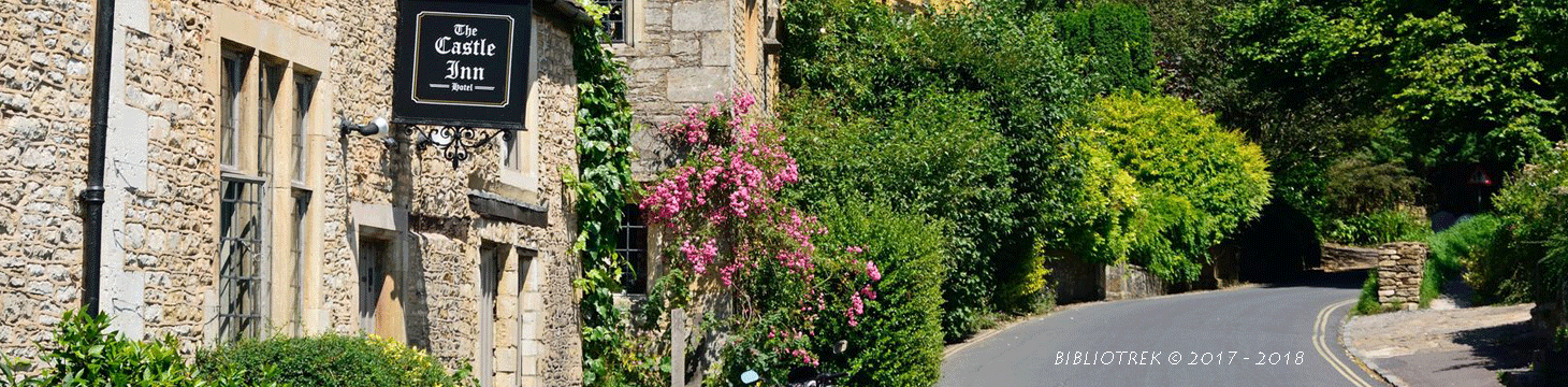
Productomschrijving: De Cotswolds zijn een AONB regio, een regio van uitmuntend natuurschoon. In Engeland geklasseerd als AONB, Area of Outstanding Natural Beauty. Zo heeft de UK er een pak verdeeld over het land. De Cotswold kun je een beetje vergelijken met Cornwall, maar dan zonder de kustlijnen. Hier vindt je prachtige landschappen en trails voor fietsers van jong naar ouder.
Engelse omschrijving: The Cotswolds are ideal for the touring cyclist - representing England at its very best. Long, winding lanes connect villages with beautiful churches, excellent pubs and delicious tea rooms. The landscape these cycle routes pass through is rich in imagery, from rolling pastures, dry-stone walls and trickling trout streams, to honey-coloured stone cottages in sleepy hamlets.
• 27 circular routes overprinted on map
• National Cycle Network routes 5, 41, 45 and 48 are illustrated, and the Traffic-Free Family Cycling Trails: The Stroud Valley Cycle Trail, The Oxford Waterway and the Forest of Dean Family Trails.
National Cycle Network (NCN)
1. NCN Route 5. Stratford-upon-Avon – Banbury – Oxford. The Traffic-Free sections run along the Oxford Waterway (see below), from Oxford to Woodstock and northwards, and a couple of short sections from Bodicote, south of Banbury (see map reference Q1).
2. NCN Route 41. Gloucester & Sharpness Canal – Bristol. The Traffic-Free section runs between Frampton-on-Severn and Slimbridge for about 6km/4 miles.
3. NCN Route 45. Gloucester – Salisbury via Stroud, Cirencester & Swindon. There remain gaps in the route. The Traffic-Free sections runs between South Cerney and Cricklade for about 10km/7 miles.
4. NCN Route 48. Northleach - Cirencester.
5. Regional Route 57. Northleach – Witney. The Traffic-Free section runs between Minster Lovell and Witney for about 5km/3 miles.
Traffic-Free Family Routes/Trails
1. Stroud Valley Cycle Trail. 15km/9.5miles. Former railway track along the Nailsworth Valley. Start at Kings Stanley car park, cross A46, to Dudbridge Roundabout and follow trail to Egypt Mill. (D8)
2. The Oxford Waterway. 15km/9.5miles. Trail along canal towpath. Best started from Wolvercote car park. Suggest you first head north towards Duke’s Lock, Kidlington Green Lock, Roundham Lock and the Jolly Boatman Inn, then onto Thrupp. Return to Wolvercote, and south to Oxford City Centre. (R7)
3. Forest of Dean Family Trail. 15km/9miles. Former mining tracks now converted into a web of criss-crossing biking trails. This circular route starts from Pedalabikeaway – Drybrook Road – Dilke Hospital – Blackpool Brook – Burnt Log – Connop Wharf with off-shoot trail to Coleford via Parkend. The routes are waymarked. A detailed map is available from the bike hire hut. Refreshments. (A6)

Artikelen uit dezelfde regio
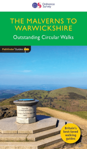
Wandelgids 074 Pathfinder guides Malverns to Warwickshire - OS • 9780319090725
Wandelgids The Malverns AONB to Warwickshire - OS Productomschrijving: With 28 circular, graded walks all tried and tested by seasoned walkers, this walking guidebook for The Malverns AONB and Warwickshire is ideal for both holidays and locals. The routes discovered in this guidebook are from 4.8 to 15km (3 to 9 miles), so there's a choice for all abilities. Each route includes a detailed…
Wandelkaart 221 Coventry & Warwickshire - OSI • 9780319244142
Wandelkaart Coventry & Warwickshire - England Productbeschrijving: Royal Leamington Spa & Kenilworth. 221 / Coventry & Warwickshire, England - OS Explorer kaart 221 dekt Coventry, Warwick, Royal Leamington Spa en de omliggende gebieden. Warwick Castle en vervolgens de rivier de Avon en Fort Lunt Roamn in de buurt van Coventry. De OS Explorer kaart voor Coventry & Warwick is beschikbaa…

Wandelgids Cotswolds AONB 50 walks guide - AA Publishing • 9780749583224
Cotswolds AONB - 50 walks guide - AA Publishing Productomschrijving: Wandelen is een van de favoriete vrijetijdsbestedingen van Groot-Brittannië. AA 50 Walks in the Cotswolds bevat een verscheidenheid aan uitgestippelde wandelingen van 3 tot 12 km, geschikt voor alle niveaus. Het boek bevat alle praktische details die u nodig hebt, vergezeld van boeiende achtergrondinformatie over de gesch…
Wandelkaart 206 Edge Hill & Fenny Compton - OSI • 9780319470787
Wandelkaart Edge Hill & Fenny Compton - Warwickshire Omvat ook: Badby, Kineton & Middle Tysoe Productbeschrijving: Kaart nr 206 in de OS explorer active reeks, is de perfect kaart voor het ontdekken van de noordelijke delen van de Cotswolds. De regio van uitmuntende natuurlijke schoonheid AONB, kan worden afgelegd door de Centenery way te wandelen, door het midden van Tysoe en Edge Hil…
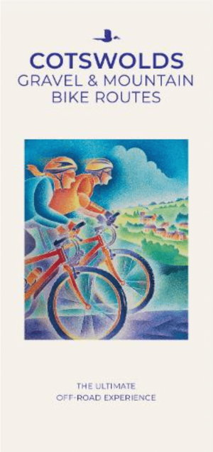
Moutainbike Cotswold Gravel & Mountain AONB - Goldeneye • 9781859653135
Moutainbike map Cotswold - Goldeneye Productomschrijving: Cotswold Gravel & Mountain Bike Routes: The Ultimate Off-Road Experience - Gravel & Mountain Bike Routes 18 (Paperback) When mountainbiking in the Cotswolds, in an Area of Outstanding Natural Beauty of AONB area, a lot of sportsfanatics & MTB fanatics are very interested, and cannot go wrong with this new Goldeneye mountainbiki…