
Fietsgids Cycling the Canal de Garonne - Cicerone
Guide to cycling from Toulouse in the Haute Garonne
Korte omschrijving
Fietsgidsen Occitanië, Frankrijk van CICERONE Press. Ideaal voor tochten in Frankrijk.
Fietsgids - Cycling the Canal de Garonne - Cicerone Productomschrijving: Canal du midi affietsen moet toch een dik plezier zijn tijdens de seizoensmaanden?, deze gids biedt u een dikke 240 k...

Specificaties
- Uitgever: CICERONE Press
- ISBN-13: 9781852847838
- HOOFDCATEGORIEËN: Fietsgids
- Activiteiten: Fietsen / VTT / MTB
- Regio: Occitanië, Frankrijk
- Land: Frankrijk
- Departement: Tarn-et-Garonne (82)
- Editie: 1
- Taal: Engels
- Fietsen: Fietsen in het Buitenland
- De Franse Regio's: Occitanië

Volledige omschrijving
Fietsgids - Cycling the Canal de Garonne - Cicerone
Productomschrijving: Canal du midi affietsen moet toch een dik plezier zijn tijdens de seizoensmaanden?, deze gids biedt u een dikke 240 km lange tocht langs de befaamde Canal du midi, op zich is deze UNESCO werelderfgoed, en dat is er dik aan te zien. Een indrukwekkende fauna & flora langs de weg, en een gids gevuld met weetjes die overal van toepassing kunnen zijn langs de route?
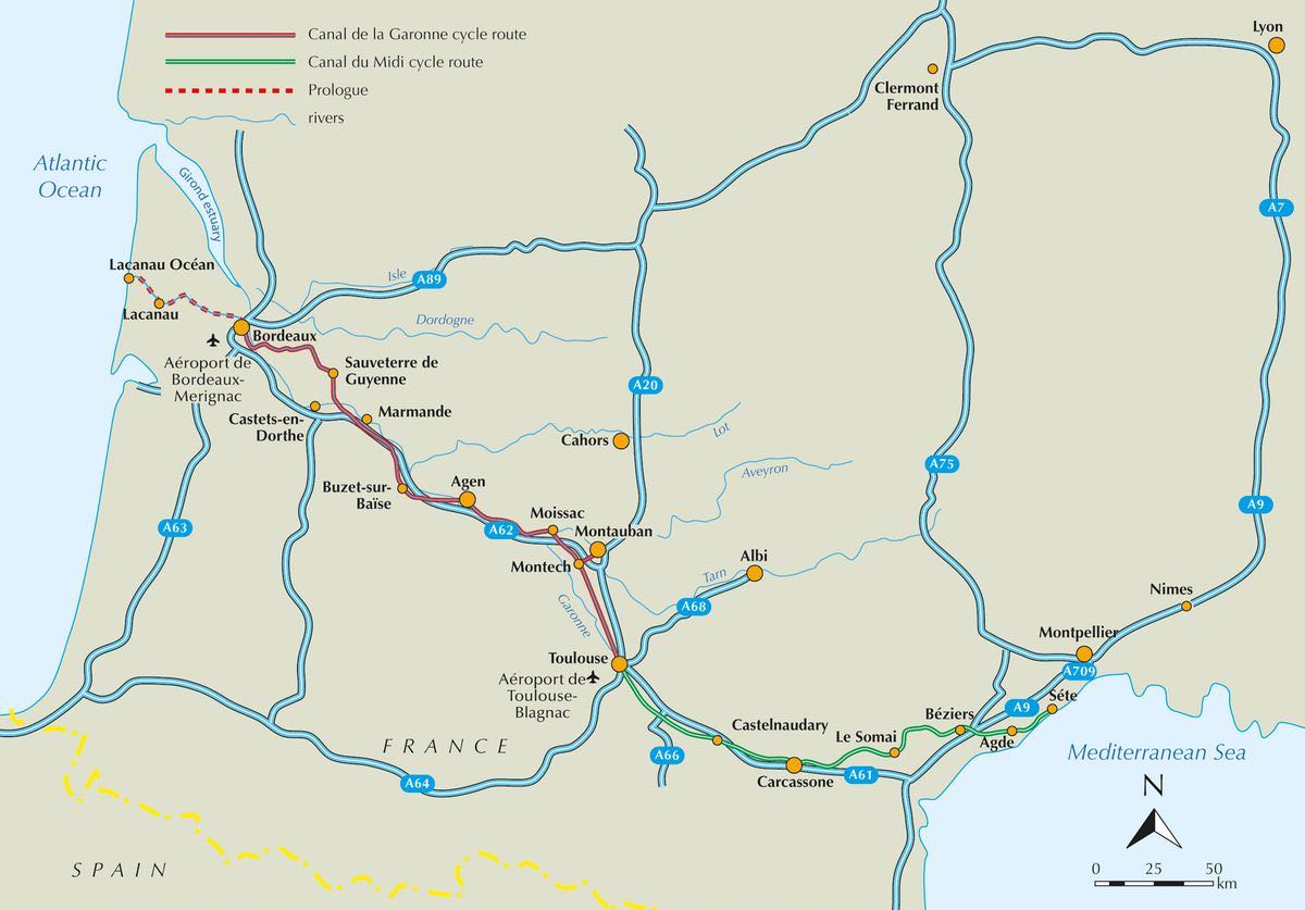
Engelse omschrijving: Guide to cycling the Canal du Midi in southern France, 240km from Toulouse in the Haute Garonne to Sète on the Mediterranean Coast. The flat, picturesque route is divided into five stages, each around 50km long. Includes detours to sights close to the canal as well as longer excursions, including Narbonne, Minerve, Carcassone and Béziers.
Seasons: Suitable all year round. Busier and hot in summer, but with lots going on; ideal temperatures but higher average rainfall in spring and autumn; quietest in winter, but with Christmas markets and fairs.
Centres: Toulouse, Carcassone, Beziers, Sète
Difficulty: Suitable for all abilities - flat and car-free along the canal with optional slightly hillier excursions by road if desired. Described in five stages to fit within a week's holiday.
Must See:
Historic towns and cities: Ancient Greek Agde, Roman Narbonne, Toulouse, the 'Rose City', Carcassonne's 12th-century fortified Cité. Real French culture of La France Profonde, including myriad local festivals. Varied countryside with a wide range of animals and plants.

Locatie op kaart
Artikelen uit dezelfde regio
Wandelkaart 2438 SB Espalion & Estaing - IGN • 9782758556107
Wandelkaart Espalion & Estaing - IGN Productomschrijving: Espalion & Estaing zijn gemeentes in het departement van de Aveyron in de regio van Occitanië. Omvat: Florentin-la-Capelle, Entraygues-sur-Truyère, Le Nayrac, Golinhac, Le Cayrol, Espeyrac, Montpeyroux, Condom-d'Massif de l'Aubrac, Bessuéjouls, Sébrazac, Coubisou, Campuac, Muret-le-Château , Bozouls, Gabriac, Rodelle, Mouret, Vi…
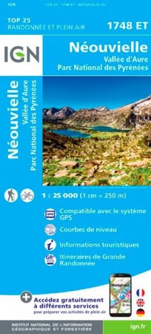
Wandelkaart 1748 ET Néouvielle & Vallée d'Aure - IGN • 9782758541400
TOPO Wandelkaart Néouvielle & Vallée d'Aure - IGN Productomschrijving: Het Néouvielle-massief ligt in de Franse Pyreneeën. Het maakt deel uit van het natuurreservaat Néouvielle, dat het nationale park van de Pyreneeën raakt . Desciptive produits: Ces cartes topographiques d'une très grande précision contiennent tous les détails existant sur le terrain : voies de communication jusqu'au …

Wandelgids Stevensonweg GR70 + GR763 Gorges du Tarn - Rother • 9783763346219
Robert Louis Stevensontrail GR70 + GR763 Productomschrijving: De Cevennen en de Gorges du Tarn zijn bekend bij elke liefhebber van Zuid-Frankrijk. En velen zijn ook bekend met het verhaal van de Schotse avonturenschrijver R. L. Stevenson, die in 1878 de Cevennen (nu een nationaal park) doorkruiste met zijn ezel Modestine. Vandaag de dag is zijn route een van de populairste Franse langeafst…

Wandelgids Autour de Montpellier à pied - Ed. Chamina • 9782844663023
Wandelgids - Autour de Montpellier à pied - Ed. Chamina Productomschrijving: Binnen een straal van 60 km rond Montpellier, vind u de mooiste paden tussen de Middellandse Zee, de Camargue en de Larzac plateau. De grootste sites die bezocht worden in deze gids zijn die van Saint-Guilhem-le-Désert, le lac du Salagou, Agde, l’étang de Thau, en als bonus, een wandeling in het hart van het oude …
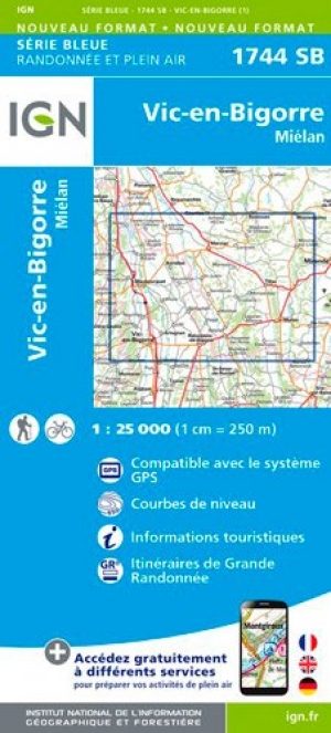
Wandelkaart 1744 SB Vic-en-Bigorre & Miélan - IGN • 9782758541387
Wandelkaart Vic-en-Bigorre & Miélan Productomschrijving: Vic-en-Bigorre is een gemeente in het Franse departement Hautes-Pyrénées in de regio Occitanie. De plaats maakt deel uit van het arrondissement Tarbes. Desciptive produits: Une nouvelle cartographie pour une lisibilité optimale, avec une meilleure précision géométrique et des informations touristiques enrichies. Un nouveau format…