

Fietsgids Bikepacking England - Vertebrate Publ.
20 great multi-day mountain bike adventures across England

Korte omschrijving
Fietsgidsen Engeland van Vertebrate Publishing. Ideaal voor tochten in England.
Bikepacking England - Vertebrate Productomschrijving: 20 multi-day off-road cycling adventures Bikepacking England by Emma Kingston contains twenty great multi-day off-road cycling adven...

Specificaties
- Uitgever: Vertebrate Publishing
- ISBN-13: 9781839810558
- HOOFDCATEGORIEËN: Fietsgids
- Activiteiten: Fietsen / VTT / MTB
- Auteur: Emma kingston
- Regio: Engeland
- Land: England
- Taal: Engels
- Fietsen: Fietsen in het Buitenland
Volledige omschrijving
Bikepacking England - Vertebrate
Productomschrijving: 20 multi-day off-road cycling adventures
Bikepacking England by Emma Kingston contains twenty great multi-day off-road cycling adventures across England, including the Peak District, Jurassic Coast, South Downs, Lake District and Dartmoor. Illustrated with stunning action photography and overview mapping.
Bikepacking England by Emma Kingston contains 20 great multi-day mountain bike adventures across England.
Explore ancient holloways and hunt for fossils in Bridport and the Jurassic Coast, tackle the stiff climbs and spectacular singletrack of the Dark Peak, discover stunning coastal scenery on the Isle of Man or Exmoor or traverse the rolling countryside around the Ridgeway and Chilterns – every corner of England has a different experience to offer.
Each route includes all the information you need to help you plan your ride, points of interest along the route, food recommendations and accommodation options, in addition to stunning photography and overview mapping. Downloadable GPX files of the routes are also available, including optional routes and shortcuts. This book is full of practical tips and advice for both experienced bikepackers and those who want to try it out for the first time, including lots of information on wild camping.
Let Bikepacking England inspire you to get out there on your bike with your tent and enjoy the best bikepacking adventures that England has to offer.

Artikelen uit dezelfde regio
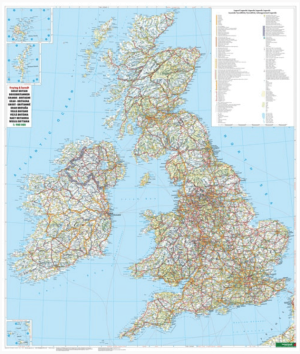
Plano Wandkaart Groot-Brittannië & Ierland - 116 x 99 cm - F&B • 5425013064590
Plano Wandkaart Groot-Brittannië & Ierland Geplastificeerd - F&B Productomschrijving: De plano politieke wandkaarten van Freytag & Berndt brengen elk continent helder in beeld. Grote, duidelijke opgerolde kaart, zonder vouwen. Ideaal om meteen op te hangen in klaslokaal, kantoor of thuis. Landen, hoofdsteden, belangrijke steden en grenzen springen in het oog. Heldere kleuren zorgen voo…

Wandelgids 19 routes England- Schotland & Wales - Cicerone • 9781852847883
Wandelgids - 19 routes England- Schotland & Wales - Cicerone Productomschrijving: Deze inspirerende gids kijkt naar elk van de 19 National Trails in het Verenigd Koninkrijk, met informatie die het gemakkelijk maakt om vergelijking en contrast te vinden, inspiratie bij het vinden van, en tot het nemen van een lange afstandsuitdaging. Sommige Trails zijn kort en gemakkelijk, anderen veel lan…

Fietsgids Britain's Best Bike Ride - Vertebrate Publ. • 9781839811135
Britain's Best Bike Ride - Vertebrate Productomschrijving: The ultimate thousand-mile cycling adventure from Land’s End to John o’ Groats Britain’s Best Bike Ride by John Walsh and Hannah Reynolds is an inspirational guide to making the most of this extraordinary journey. Illustrated with stunning action photography and overview mapping; downloadable GPX files are also included. The…
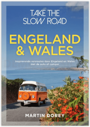
Campergids Take the Slow Road Engeland en Wales - Lannoo • 9789000381890
Campergids - Take the Slow Road Engeland en Wales Productomschrijving: Ontdek op je gemak unieke routes door Engeland en Wales met de camper of de zogenaamde Mobilehome. Snel rijden? Echt niet! Met je voet op het gaspedaal door het landschap racen is niet meer van deze tijd. Vergeet het gehaaste leven, rustig rondtrekken is de nieuwe manier van reizen. En hoe ga je dat doen? Met een ca…

Wegenatlas Britain & Ireland road atlas - Harper Collins • 9780008779047
Wegenatlas Britain & Ireland - Harper Collins Productomschrijving: This easy-to-use, handy A5 sized road atlas with popular lie-flat spiral binding features extremely clear route planning maps of Britain and Ireland and fits neatly into your glove box or bag. The atlas has been fully updated. The maps of Britain are at 9.9 miles to 1 inch (1:625,000) and the whole of Ireland is covered at …