

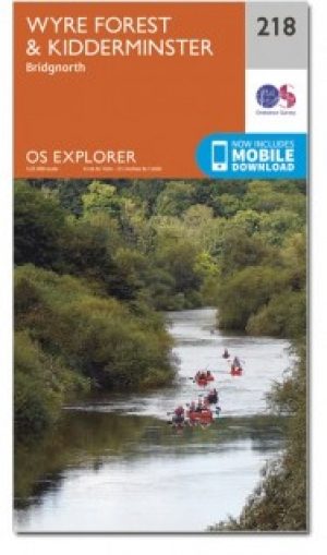
Wandelkaart 218 Kidderminster & Wyre Forest - OSI
Omvat Severn van Stockton naar Stourport-on-Severn

Korte omschrijving
Wandelkaarten Worcestershire, West England van Ordnance Survey. Ideaal voor tochten in England.
Wandelkaart Kidderminster & Wyre Forest - Worcestershire Omvat ook: Bridgnorth. Productbeschrijving: OS Explorer kaart 218 volgt het zuiden van de rivier de Severn van Stockton naar Stou...

Specificaties
- Uitgever: Ordnance Survey
- ISBN-13: 9780319470909
- HOOFDCATEGORIEËN: Wandelkaart
- Activiteiten: Wandelen, Hiking & Trekking
- Regio: Worcestershire, West England
- Land: England
- Waterafstotende kaart: Ordnance Survey ACTIVE Explorer Weatherproof Maps
- Regionale parken: Wyre Forest UK
- TOPO's & Stafkaarten: Topografisch wandelen
- Schaal: 1:25000
- Taal: Engels
- Reeks/Serie: Explorer ACTIVE Series OSI
Volledige omschrijving
Wandelkaart Kidderminster & Wyre Forest - Worcestershire
Omvat ook: Bridgnorth.
Productbeschrijving: OS Explorer kaart 218 volgt het zuiden van de rivier de Severn van Stockton naar Stourport-on-Severn. Het toont een aantal Recereational paden, met inbegrip van Jack Mytton Way, Severn way en de Staffordshire way. De OS Explorer kaart voor Kidderminster & Wyre Forest is beschikbaar in zowel de standaard papieren versie als de weerbestendige 'Actief' versie.
Productdiscription: OS Explorer Map sheet 218 follows the River Severn south from Stockton to Stourport-on-Severn. It shows a number of Recereational paths, including Jack Mytton Way, Severn Way and the Staffordshire Way. The OS Explorer map for Kidderminster & Wyre Forest is available in both the standard paper version and weatherproof 'Active' version.
Locatie op kaart
Gekoppelde artikelen
Wandelkaart 218 Kidderminster & Wyre Forest - OSI • 9780319244111
standaard versieWandelkaart Kidderminster & Wyre Forest - Worcestershire Productbeschrijving: Kidderminster is een stad in het bestuurlijke gebied Wyre Forest, in het Engelse graafschap Worcestershire. 218 / Kidderminster / Wyre Forest, Worcestershire, England - Kaart nummer 218 is een all purpose kaart vol gepakt met informatie om u het gebied te helpen leren kennen. De 204 Landranger-kaarten bestrij…
Wandelkaart 218 Kidderminster & Wyre Forest - OSI • 9780319470909
weatherproof versieWandelkaart Kidderminster & Wyre Forest - Worcestershire Omvat ook: Bridgnorth. Productbeschrijving: OS Explorer kaart 218 volgt het zuiden van de rivier de Severn van Stockton naar Stourport-on-Severn. Het toont een aantal Recereational paden, met inbegrip van Jack Mytton Way, Severn way en de Staffordshire way. De OS Explorer kaart voor Kidderminster & Wyre Forest is beschikbaar in z…
Artikelen uit dezelfde regio
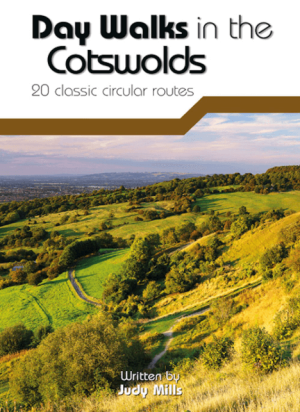
Wandelgids Day Walks in the Cotswolds AONB - Vertebrate Publ. • 9781910240991
Day Walks in the Cotswolds AONB - Vertebrate Productomschrijving: Day Walks in the Cotswolds by Judy Mills features 20 circular routes suitable for hillwalkers of all abilities. Together with stunning photography, each route features Ordnance Survey 1:25,000 maps, easy-to-follow directions, distance and navigation information, refreshment stops and local information. Split across thre…
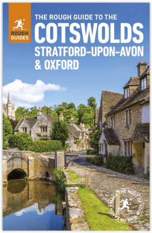
Reisgids Cotswolds England - Rough Guides • 9780241308752
Reisgids Cotswolds England - Rough Guides Productomschrijving: The Rough Guide to the Cotswolds AONB is your definitive handbook to one of the most beautiful and diverse holiday destinations in the UK. From stately homes and wildlife parks to modern art galleries, country walks and adventure sports, there is a section that introduces all of the regions’ highlights. For every town and v…

Wandelkaart 138 Kidderminster & Wyre Forest - OSI • 9780319474617
Wandelkaart Kidderminster & Wyre Forest - Worcestershire England Productbeschrijving: OS Landranger kaart 138 van Kidderminster & Wyre Forest omvat ook Bridgnorth, Abdon Stanton Lacy, Bayton, Stoke Bliss, Brimfield, Ludlow, Highley, Six Ashes, Chetton en Much Wenlock. De OS Landranger kaarten reeks heeft betrekking op Groot-Brittannië met 204 gedetailleerde kaarten, perfect voor dagtochten…

Wandelgids Cotswolds AONB 50 walks guide - AA Publishing • 9780749583224
Cotswolds AONB - 50 walks guide - AA Publishing Productomschrijving: Wandelen is een van de favoriete vrijetijdsbestedingen van Groot-Brittannië. AA 50 Walks in the Cotswolds bevat een verscheidenheid aan uitgestippelde wandelingen van 3 tot 12 km, geschikt voor alle niveaus. Het boek bevat alle praktische details die u nodig hebt, vergezeld van boeiende achtergrondinformatie over de gesch…

Wandelkaart XT Malvern Hills AONB England - Harvey map • 9781851376056
Wandelkaart - Malvern Hills AONB England - Harvey map Productomschrijving: Deze Mavern Hills zijn een samenstelling van heuvels in de Engelse counties, Worcestershire, Herefordshire, en een klein deel van Gloucestershire, en domineren de volledige regio rond deze counties van het district van Alvern Hills. Het hoogst gelegen punt van deze regio biedt een panorama van de Severn vallei met d…