

Wandelgids Day Walks in Northumberland - Vertebrate Publ.
20 coastal & countryside routes


Korte omschrijving
Wandelgidsen Northumberland, Engeland van Vertebrate Publishing. Ideaal voor tochten in England.
Day Walks in Northumberland - Vertebrate Productomschrijving: 20 coastal & countryside routes Day Walks in Northumberlandfeatures 20 routes between 7.6 and 14.5 miles (12.2km and 23.3km)...

Specificaties
- Uitgever: Vertebrate Publishing
- ISBN-13: 9781912560615
- HOOFDCATEGORIEËN: Wandelgids
- Activiteiten: Wandelen, Hiking & Trekking
- Auteur: David Wilson
- Regio: Northumberland, Engeland
- Land: England
- Nationale parken: Northumberland NP, England
- Taal: Engels
- Reeks/Serie: Day walks in, vertebrate Publishing
- De Nationale Parken: Northumberland National Park, England
- De Engelse Graafschappen: Northumberland
Volledige omschrijving
Day Walks in Northumberland - Vertebrate
Productomschrijving: 20 coastal & countryside routes
Day Walks in Northumberlandfeatures 20 routes between 7.6 and 14.5 miles (12.2km and 23.3km) in length, spread across the coast and the countryside of Northumberland and suitable for hillwalkers of all abilities.
Researched and written by local walking guide David Wilson, this book covers the best that this varied county has to offer. Walk over sand dunes and past castles at Bamburgh and Dunstanburgh, discover the history of Roman Britain at Hadrian's Wall, explore the industrial heritage around the River South Tyne and follow the Pilgrim's Way to Lindisfarne. Together with stunning photography, each route features Ordnance Survey 1:25,000 maps, easy-to-follow directions, details of distance and navigation information, and refreshment stops and local information.

Artikelen uit dezelfde regio

Wandelkaart 340 Holy Island & Bamburgh - OSI • 9780319475768
Wandelkaart Holy Island & Bamburgh - Explorer Active Productomschrijving: Holy Island en Bamburgh zijn 2 aan de kust liggende eilanden/archipel die de interesse trekt van velen in het teken van natuur bezoek, wandelen of fietsen. De locatie is zeer mooi wat de natuur betreft. Omvat: Cheswick, Ancroft, Haggerston, Bowsden, Beal, Fenwick, Holy Island, Holburn, Doddington, Belford, Waren …
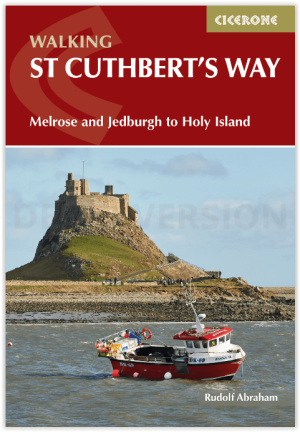
Wandelgids St Cuthbert's Way - Cicerone • 9781786311566
Wandelgids St Cuthbert's Way - Cicerone Productomschrijving: Deze wandelgids beschrijft de lange afstand St Cuthbert's Way door het ongerepte landschap van Northumberland en de Borders. De 100 km lange route begint in Melrose en doorkruist de ruige rotsen en heidevelden van de Cheviot Hills, gaat door het Northumberland National Park naar het sfeervolle Lindisfarne (Holy Island). De tocht …

Wandelgids St Oswald's Way & Northumberland Coast Path - Cicerone • 9781786311559
St Oswald's Way & Northumberland Coast Path - Cicerone Productomschrijving: Deze gids beschrijft de St Oswald's Way en Northumberland Coast Paths, beide langeafstandswandelpaden door Northumberland. St Oswald's Way (156 km, 97 mijl) begint in Heavenfield en doorkruist delen van het Northumberland National Park en bezoekt Hadrian's Wall, de Simonside Hills en de prachtige Coquet Valley, voo…
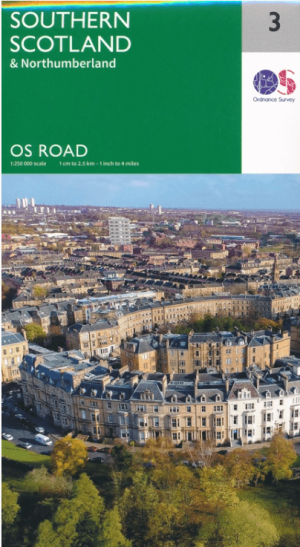
Landkaart Wegenkaart 3 Schotland Zuid & Northumberland - OSI • 9780319263754
Wegenkaart Schotland Zuid & Northumberland - OSI Productomschrijving: Plan your journey with this series of road maps from OS. Showing all major road, rail and ferry links as well as settlements and selected features in 1: 250 000 scale, this is the ideal map for planning trips and holidays by car or cycle. OS Road 3 covers: Southern Scotland plus Northumberland in the North of Englan…

Wandelgids Park Rangers Favourite Walks Northumberland - Collins • 9780008462710
Park Rangers Favourite Walks Northumberland - Collins Productomschrijving: Wandelgids voor het Northumberland National Park, met 20 van de beste routes uitgekozen door de parkwachters. Elke wandeling varieert in lengte van 2 tot 10 km en kan in minder dan 4 uur worden afgelegd. Engelse omschrijving: Walking guide to the Northumberland National Park, with 20 best routes chosen by the pa…