

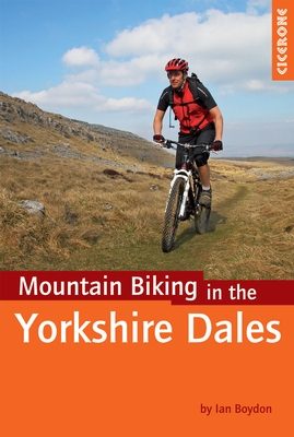
Mountainbikegids Yorkshire Dales mountain biking - Cicerone
28 MTB routes door het prachtige Yorkshire Dales National Park
Korte omschrijving
Fietsgidsen Lanacshire, England en Yorkshire, England van CICERONE Press. Ideaal voor tochten in England.
Mountainbikegids - Yorkshire Dale mountain biking - Cicerone Productomschrijving: Een handige gids over 30 korte, middellange, lange en volledig-dag MTB routes over het Yorkshire Dales Natio...

Specificaties
- Uitgever: CICERONE Press
- ISBN-13: 9781852846763
- HOOFDCATEGORIEËN: Fietsgids
- Activiteiten: Fietsen / VTT / MTB
- Regio: Lanacshire, England, Yorkshire, England
- Land: England
- Nationale parken: Yorkshire Dales NP, England
- Editie: 1
- Taal: Engels
- Fietsen: Fietsen in het Buitenland
- De Engelse Graafschappen: Yorkshire
- VTT / MTB: Mountainbike, Vélo Tout Terrain
Volledige omschrijving
Mountainbikegids - Yorkshire Dale mountain biking - Cicerone
Productomschrijving: Een handige gids over 30 korte, middellange, lange en volledig-dag MTB routes over het Yorkshire Dales National Park, de speeltuin van de bergfietser van Noord-Engeland. Circulaire ritten bezoeken de grote valleien en nemen lussen rond twee van de drie pieken, Whernside en Pen-y-Gent. Kies een route door middel van soort/graad, percentage off-road, lengte of tijd in een oogopslag. Het Yorkshire Dales National Park is één van de UK's hoogste bergfiets bestemmingen met een overvloed aan spannende en gevarieerde routes tegen een prachtige achtergrond van rollend fells en kalkstenen landschappen.
Detail: Getekend uit 20 jaar mountainbike ervaring in het gebied door de auteur, deze gids beschrijft 30 originele en spannende routes van gevarieerde lengte en moeilijkheidsgraad voor renners van alle capaciteiten. Nieuwkomers en soortgelijke veteranen zullen verrast worden door weinig bekende routes.
Engelse omschrijving: A guidebook to 30 short, medium, long and full-day MTB routes across the Yorkshire Dales National Park. The circular rides visit all the major dales, including a tour of the Howgills, and include loops around two of the Three Peaks, Whernside and Pen-y-ghent. Choose a route by grade, percentage off-road, length or time at a glance.
Seasons:
Throughout the year, with longer and higher routes best left to the warmer months.
Centres:
Settle, Horton-in-Ribblesdale, Dent, Kirkby Lonsdale, Grassington, Hetton, Ribblehead, Thoralby, Orton, Reeth, Gunnerside, West Burton, Sedbergh, Langthwaite, Airton, Kettlewell, Kirkby Stephen, Bainbridge, Hawes.
Difficulty:
Varying lengths and difficulties, graded blue (medium), red (hard) and black (very hard); novice mountain bikers with reasonable bike handling skills should be able to complete the blue routes, while experts should be challenged by the red and, more so, the black routes.
Must See:
All the major dales: Wensleydale, Swaledale, Ribblesdale, Dentdale and Wharfedale; circumnavigations of Whernside and Pen-y-ghent; unique limestone geology and two major bodies of water - Malham Tarn and Semer Water.
Locatie op kaart
Artikelen uit dezelfde regio

Fietskaart Yorkshire Dales West - Harvey maps • 9781851374656
Fietskaart Yorkshire Dales West - Harvey maps Productomschrijving: Gedetailleerde wandel-, fiets- en off-roadkaart die GPS compatibel is. Omvat nauwkeurig geselecteerde off-road fietsroutes. Met een groot gebied op een compact blad. De Yorkshire Dales West omvatten bovenste Ribblesdale, met inbegrip van de Yorkshire 3 pieken - Whernside, Ingleborough en Pen y Gent, de Howgill Fells, en Den…
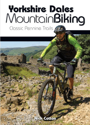
Fietsgids Yorkshire Dales Mountain Biking - Vertebrate Publ. • 9781912560066
Yorkshire Dales Mountain Biking - Vertebrate Productomschrijving: Classic Pennine Trails Yorkshire Dales Mountain Biking by Nick Cotton features 26 rides in one of the UK’s most MTB-friendly national parks. Includes rides around Swaledale, Ingleborough, Whernside and Pen-y-ghent. Each ride is described with easy-to-follow directions and is plotted on clear and easy to use Ordnance Sur…
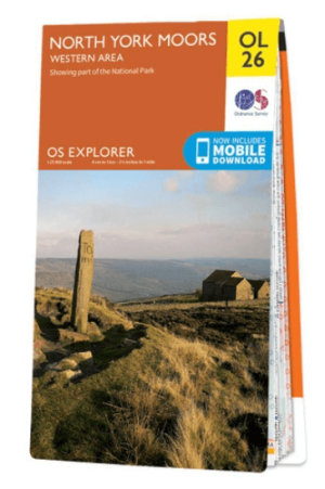
Wandelkaart OL26 North York Moors Western area - OS • 9780319242650
Wandelkaart North York Moors, Western area - OS Productomschrijving: Een topografische wandelkaart van het westerse deel van het North York Moors National Park. Omvat: Het Howardian Hills AONB gebied, deel van het nationale park van de North York Moors, Tees Forest Community Forest, The Cleveland Street Walk, Cleveland Way, E2 European long distance Path, Ebor Way, England Coast PAth, …

Wandelgids Guide to Yorkshire - AA • 9780749579470
Wandelgids - Guide to Yorkshire - AA Productomschrijving: Yorkshire, een regio's waar prachtige heuvelachtige plaatsen van komen, en een plaats waar de rust zelf tot rust komt. Een locatie in bezit van ondermeer "The Yorkshire Dales" en locatie langs de kust die elke old timer de welverdiende rust geeft die hij zoekt. Een gids, die u de natuur toont, als ook de fauna, de Flora, de keuken v…

Reisgids Yorkshire - Rough Guides • 9781835290583
Reisgids Yorkshire - Rough Guides Productomschrijving: The Rough Guide to Yorkshire was the first comprehensive guidebook to England’s largest county. Detailed coverage of the ruggedly beautiful Dales and Moors, the magnificent North Sea coast and historic York rubs shoulders with penetrating insights into the multi-cultural cities of Leeds and Sheffield, the resurgent port of Hull, and th…