

Wandelgids Day Walks in the Yorkshire Dales NP - Vertebrateg Publ
20 circular routes in the Central Pennines from 10 to 17 km

Korte omschrijving
Wandelgidsen Yorkshire, England van Vertebrate Publishing. Ideaal voor tochten in England.
Day Walks in the Yorkshire Dales NP - Vertebrateg Productomschrijving: 20 circular routes in the Central Pennines Day Walks in the Yorkshire Dales NP is the fourth title in Vertebrate P...

Specificaties
- Uitgever: Vertebrate Publishing
- ISBN-13: 9781906148225
- HOOFDCATEGORIEËN: Wandelgids
- Activiteiten: Wandelen, Hiking & Trekking
- Auteur: Bernard Newman
- Regio: Yorkshire, England
- Land: England
- Nationale parken: Yorkshire Dales NP, England
- Taal: Engels
- Reeks/Serie: Day walks in, vertebrate Publishing
- De Engelse Graafschappen: Yorkshire
Volledige omschrijving
Day Walks in the Yorkshire Dales NP - Vertebrateg
Productomschrijving: 20 circular routes in the Central Pennines
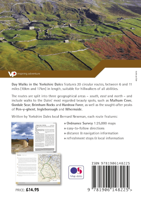
Day Walks in the Yorkshire Dales NP is the fourth title in Vertebrate Publishing’s series of compact and portable hillwalking guidebooks. This book showcases 20 circular walks in the Yorkshire Dales National Park, between 6 and 11 miles (10 and 17 kilometres) in length, suitable for hillwalkers of all abilities.
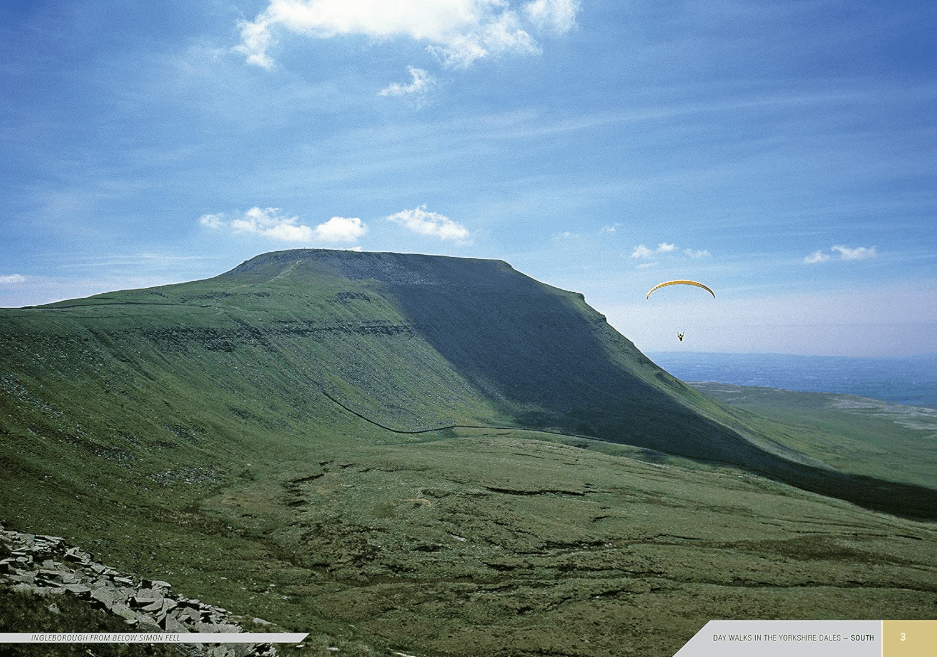
The routes are split into three geographical areas – south, east, and north – and include walks to the Dales’ most regarded beauty spots, such as Malham Cove, Gordale Scar, Brimham Rocks and Hardraw Force, as well as the trio of sought-after peaks Pen-y-ghent, Ingleborough and Whernside. The author of this guidebook, Bernard Newman, is a freelance outdoor writer and photographer, and former editor of the internationally acclaimed Mountainmagazine.
A Yorkshire Dales local and graduate geologist, in his route descriptions he explores the incredible geology that has created the breathtaking scenery on show in the Dales. Each route in this guide is described with easy-to-follow directions and details of distance, navigation information, refreshment stops and is plotted on clear and easy to use Ordnance Survey 1:25,000 mapping. Reprinted in 2019 with updated mapping and revisions.

Artikelen uit dezelfde regio

Wandelgids 50 walks in West Yorkshire - AA Publi. • 9780749583798
50 walks in West Yorkshire - AA Publishing Productomschrijving: West Yorkshire, een regio die de perfecte balans biedt tussen natuur en stedelijke charme, heeft veel te bieden voor wandelaars. De gids "50 Walks in West Yorkshire" neemt je mee langs schilderachtige routes door glooiende landschappen, historische locaties en levendige steden. Wat Kun Je Verwachten? Prachtige Natuur: …
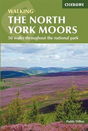

Wandelgids North York Moors walking guide - Cicerone • 9781852849511
Wandelgids - North York Moors walking guide - Cicerone Productomschrijving: Dit zeer bekende nationale park behoort tot de mooiste van Engeland. Het park is waliswaar zonder hoge bergtoppen, maar is en blijft een prachtig gebied, waar de Engelsen goed voor zorgen. Deze gids brengt u een dikke 50 wandelingen doorheen de North York Moors Nationaal Park. Kies er éne uit en neem een duik in de…
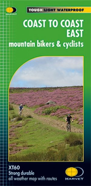
Fietskaart Coast to Coast East England - Harvey maps • 9781851375325
Fietskaart Coast to Coast East England - Harvey maps Productomschrijving: De route van kust tot kust, is bedekt met twee kaarten. De doortocht van kust naar kust is ongeveer 200 mijl. Er is geen één definitieve route. Deze kaarten suggereren twee belangrijkste alternatieven, St Bees naar Robin Hoods Bay (bedacht door Tim Woodcock of Bicester aan Wykeham bedacht door pedaal Noord. De XT60 n…
Wandelgids Day Walks in the Southern Pennines - Vertebrate Publ. • 9781912560653
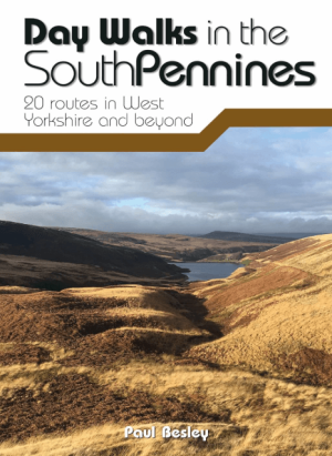
Day Walks in the Southern Pennines - Vertebrate Productomschrijving: 20 routes in West Yorkshire and beyond Day Walks in the South Pennines features 20 circular walks between 5 and 18 miles (8km and 29 km) in length, spread across West Yorkshire, Lancashire and Greater Manchester. Researched and written by knowledgeable and experienced author Paul Besley, the walks range from gentle r…

Fietsgids Yorkshire Dales Mountain Biking - Vertebrate Publ. • 9781912560066
Yorkshire Dales Mountain Biking - Vertebrate Productomschrijving: Classic Pennine Trails Yorkshire Dales Mountain Biking by Nick Cotton features 26 rides in one of the UK’s most MTB-friendly national parks. Includes rides around Swaledale, Ingleborough, Whernside and Pen-y-ghent. Each ride is described with easy-to-follow directions and is plotted on clear and easy to use Ordnance Sur…