

Wandelgids South Downs Way Map Booklet - Cicerone
The South Downs Way National Trail - 160 km


Korte omschrijving
Wandelkaarten Sussex, England van CICERONE Press. Ideaal voor tochten in England.
The South Downs Way, Map Booklet - Cicerone The guidebook INCLUDES a copy of this map booklet. Productomschrijving: Kaart van de 100 mijl (160 km) lange South Downs Way National Trail, t...

Specificaties
- Uitgever: CICERONE Press
- ISBN-13: 9781786311658
- HOOFDCATEGORIEËN: Wandelkaart
- Activiteiten: Wandelen, Hiking & Trekking
- Auteur: Kevin Renolds
- Regio: Sussex, England
- Land: England
- Lange afstand wandelroutes: South Down's Way, (160 km)
- Nationale parken: South Downs NP, Sussex Egland
- Schaal: 1:25000
- Editie: 2
- Taal: Engels
- Reeks/Serie: Map Booklet, Cicerone
- De Nationale Parken: South Downs National Park, England
- De Engelse Graafschappen: East Sussex
- National Trails UK, England & Wales: South Downs Way, England
Volledige omschrijving
The South Downs Way, Map Booklet - Cicerone
The guidebook INCLUDES a copy of this map booklet.
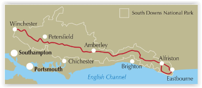
Productomschrijving: Kaart van de 100 mijl (160 km) lange South Downs Way National Trail, tussen Eastbourne en Winchester. Dit boekje is bijgesloten bij de Cicerone gids voor het pad en toont de volledige route op OS 1:25.000 kaarten. De wandeling duurt meestal een week en is geschikt voor de meeste niveaus.
Engelse omschrijving: Map of the 100 mile (160km) South Downs Way National Trail, between Eastbourne and Winchester. This booklet is included with the Cicerone guidebook to the trail and shows the full route on OS 1:25,000 maps. The trail typically takes a week to walk and is suitable for most levels of ability.
Seasons:
Can be walked at all times of year - this is one of the driest and warmest parts of England.
Centres:
Winchester, Brighton, Eastbourne.
Difficulty:
The South Downs Way is a waymarked bridleway; very few stiles; few towns/villages en route; 12 stages (max length 12 miles).
Must See:
Beachy Head, Long Man of Wilmington, Ditchling Beacon, Clayton Windmills, Butser Hill, Winchester.
Locatie op kaart
Gekoppelde artikelen
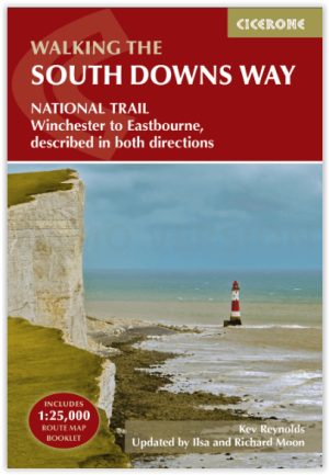
Wandelgids The South Downs Way - Cicerone • 9781786311610
standaard versieThe South Downs Way - Cicerone Productomschrijving: Wandelgids over de South Downs Way National Trail, een route van 100 mijl (160 km) tussen Winchester en Eastbourne door het South Downs National Park, beschreven in beide richtingen over 12 etappes. Gemakkelijke wandelingen over oude en historische paden, langs beboste gebieden, prachtige rivierdalen en mooie dorpjes. Met 1:25K OS kaarten…
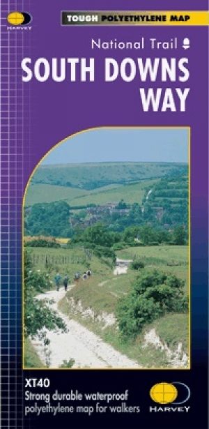
Wandelkaart South Downs Way - Harvey maps • 9781851374779
standaard versieWandelkaart South Downs Way - Harvey maps Productomschrijving: Toont de gehele route op één plan, 162km (101 mijl) tussen Winchester en Eastbourne. Geschikt voor wandelaars, fietsers en ruiters met alternatieve routes duidelijk aangetoond. Informatie over het vinden van accommodatie, camping en voedsel. Routebeschrijving naar de start van de trail. Nieuwe generatie HARVEY Superwalker,…
Artikelen uit dezelfde regio
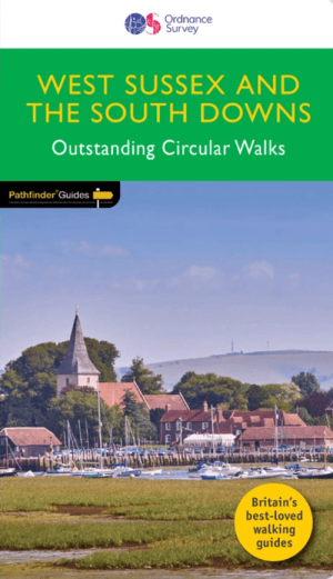
Wandelgids 066 Pathfinder guides West Sussex & South Downs - OS • 9780319091746
Wandelgids West Sussex & South Downs AONB - OS Productomschrijving: Containing 28 circular, graded walks that have all been created and tested by experienced walkers, this walking guidebook is ideal for both visitors and locals. The routes range from extended strolls to exhilarating hikes, so there is something for everyone. Each route includes a detailed description, the Ordnance Survey …
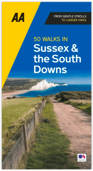
Wandelgids Sussex & the South Downs AONB - 50 walks - AA Publ. • 9780749583293
Wandelgids Sussex & the South Downs AONB - AA Publishing Productomschrijving: Wandelen is een van de favoriete vrijetijdsbestedingen in Groot-Brittannië en AA 50 Walks in Sussex bevat een verscheidenheid aan uitgestippelde wandelingen van twee tot tien mijl, geschikt voor alle niveaus. Het boek bevat alle praktische details die u nodig hebt, vergezeld van boeiende achtergrondinformatie ove…

Reisgids Dorset, Hampshire & Isle of Wight - Rough Guides • 9781835290170
Reisgids Dorset, Hampshire & Isle of Wight Productomschrijving: From sweeping beaches to medieval forests, country pubs to seaside hotels, The Rough Guide to Dorset, Hampshire & the Isle of Wight is the ultimate guide to this stunning part of England. Our expert authors show you all the region’s highlights and let you in on the secret spots locals love, with the fully updated listings show…

Wandelkaart OL11 Brighton & Hove - Ordnance Survey • 9780319475751
Wandelkaart Brighton & Hove - Ordnance Survey Productomschrijving: Kaart nummer OL11 in de OS Explorer kaartenserie is ideaal voor wie op zoek is naar avontuur in de omgeving van Brighton en Hove. De kust kan te voet worden verkend, waarbij u onderweg de bezienswaardigheden en geluiden van Brighton, Hove, Portslade, Shoreham by Sea, Peacehaven en Newhaven kunt bekijken. Het platteland in …
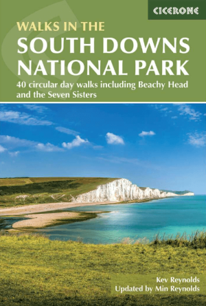
Wandelgids South Downs National Park - Cicerone • 9781786312259
Wandelgids South Downs NP - Cicerone Productomschrijving: Gids met 40 rondwandelingen door het South Downs National Park, waarbij de prachtige krijtheuvels tussen Eastbourne en Winchester worden verkend. De wandelingen variëren van minder dan 5 mijl tot 11 mijl, inclusief Beachy Head en de Seven Sisters, Ditchling Beacon en honderden prehistorische vindplaatsen. Het hele jaar toegankelijk,…