

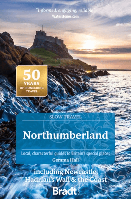
Reisgids Go Slow Northumberland - Bradt travel guides
Hadrian's Wall - Northumberland National Park
Korte omschrijving
Reisgidsen Northumberland, Engeland van Bradt guides. Ideaal voor tochten in England.
Reisgids Northumberland England - Bradt Productomschrijving: The best-selling title in Bradt's award-winning series of Slow Travel guides to UK regions, the new third edition of this wide-ra...

Specificaties
- Uitgever: Bradt guides
- ISBN-13: 9781804692530
- HOOFDCATEGORIEËN: Reisgids
- Activiteiten: Toerisme
- Auteur: Gemma Hall
- Regio: Northumberland, Engeland
- Land: England
- Editie: 3
- Taal: Engels
- Reeks/Serie: Go slow, Bradt guides
- De Engelse Graafschappen: Northumberland
- De Nationale Parken: Northumberland National Park, England
Volledige omschrijving
Reisgids Northumberland England - Bradt
Productomschrijving: The best-selling title in Bradt's award-winning series of Slow Travel guides to UK regions, the new third edition of this wide-ranging guidebook to Northumberland has been thoroughly updated by travel writer Gemma Hall, who grew up locally. With more castles than any other country, Britain's most ROman important monument (Hadrian's Wall) and countless miles of crowd-free countryside, Northumberland invites thorough exploration.
Locatie op kaart
Artikelen uit dezelfde regio

Wandelgids Hadrian's Wall Path - Rucksack Readers • 9781913817312
Wandelgids Hadrian's Wall Path Productomschrijving: Hadrian's Wall Path runs for 86 miles (135 km) between Bowness-on-Solway and Wallsend (Newcastle) along the line of the Roman Wall completed in AD122 under the Emperor Hadrian. This National Trail crosses northern England from Irish Sea to North Sea and offers many chances to look at the forts, milecastles and interpretation centres withi…

Wandelgids The Pennine Way - Trailblazer • 9781912716333
The Pennine Way 420 km - Trailblazer Productomschrijving: De Pennine Way, het bekendste nationale pad van Groot-Brittannië, slingert zich 420 km over woeste heidevelden en door stille dalen langs de ruggengraat van Noord-Engeland. Het begint in Edale in het Peak District en eindigt net over de grens in Schotland bij Kirk Yetholm. Dit prachtige wandelpad doorkruist 3 nationale parken - het …

Wandelgids Hadrian's wall Path - Knife Edge • 9781912933075
Wandelgids - Hadrian's wall Path - Knife Edge Productomschrijving: De definitieve tweerichtingsgids voor het Hadrian's Wall Path: zowel oostwaartse als westelijke routes worden volledig beschreven. 14 verschillende routes: schema's van 3, 4, 5, 6, 7, 8 en 9 dagen voor wandelaars en hardlopers. Omvat reisroutes naar het noorden en het zuiden. De moeilijkere berekeningen van tijd, afstand en…
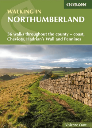
Wandelgids Northumberland walking guide - Cicerone • 9781786311818
Wandelgids Northumberland walking guide - Cicerone Press Productomschrijving: Guidebook to walking in Northumberland. 36 graded walks of 4 to 14 miles, from the beautiful coast with its immense, empty beaches and dramatic, crag-top castles to the remote hills of the Cheviots and Pennines AONB. Includes Hadrian's Wall, Lindisfarne Priory, Kielder, Berwick, Bamburgh and Dunstanburgh Castles …
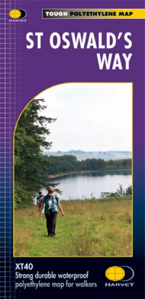
Wandelkaart St-Oswald's Way - Harvey maps • 9781851375233
Wandelkaart St-Oswald's Way - Harvey maps Productomschrijving: Van Holy Island naar Heavenfield, verbindt de 97 mijl lange St. Oswald's way enkele van de plaatsen die zijn gekoppeld aan St Oswald, die de koning van Northumbria in de vroege 7e eeuw was. De route loopt via het natuurpark van Northumbria langs de prachtige kust van Northumberland en loopt in het binnenland door via het platte…