

Wandelkaart Hadrian's Wall Path - Vertebrate Publ.
Starting in Wallsend and finishing in Bowness-on-Solway
Korte omschrijving
Wandelkaarten Cumbria, England en Northumberland, Engeland van Vertebrate Publishing. Ideaal voor tochten in England.
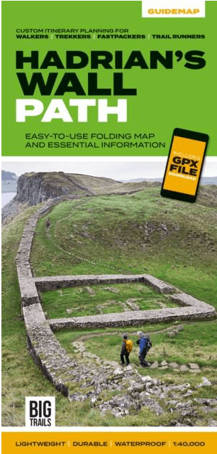
Hadrian's Wall Path - Vertebrate Productomschrijving: Easy-to-use folding map and essential information, with custom itinerary planning for walkers, trekkers, fastpackers and trail runners ...

Specificaties
- Uitgever: Vertebrate Publishing
- ISBN-13: 9781839810312
- HOOFDCATEGORIEËN: Wandelkaart
- Activiteiten: Wandelen, Hiking & Trekking
- Regio: Cumbria, England, Northumberland, Engeland
- Land: England
- Historische wandelroutes: Hadrian's Wall path (135 km)
- Lange afstand wandelroutes: Hadrian's Wall path (135 km)
- Schaal: 1:40000
- Taal: Engels
- Iconische Wandelroutes: Hadrians Wall Path, UK
- National Trails UK, England & Wales: Hadrians Wall, England
Volledige omschrijving
Hadrian's Wall Path - Vertebrate
Productomschrijving: Easy-to-use folding map and essential information, with custom itinerary planning for walkers, trekkers, fastpackers and trail runners
Hadrian's Wall Path Guidemap from Vertebrate Publishing is a lightweight, waterproof, durable and easy-to-use folding map with 1:40,000-scale mapping for the east to west HWP route. Includes route variations, an elevation profile and route planner, safety advice, terrain information and accommodation directory.
The 138-kilometre Hadrian’s Wall Path traces a grey line along Great Whin Sill, the dolerite ridge chosen by the Romans for their historic wall. The route, one of Britain’s most popular National Trails, is dotted with milecastles and forts, and attracts trail runners and walkers all year round due to its sweeping views.
Beginning in Newcastle, the trail passes through rolling grassy paths and grey-green crags to reach Bowness-on-Solway on the Cumbrian Coast. Hadrian’s Wall Path appeals to people who have different levels of experience and travel at all speeds, and this Vertebrate Publishing Guidemap is unique in that it caters for four categories of user, providing custom itineraries for walkers, trekkers, fastpackersand trail runners. This lightweight, waterproof, durableand easy-to-use folding map features all the essential information for a successful Hadrian’s Wall Path, including 1:40,000-scale mapping for the linear route starting in Wallsend and finishing in Bowness-on-Solway.
Artikelen uit dezelfde regio
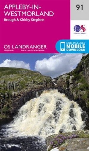
Wandelkaart 91 Appleby-in-Westmorland - OSI • 9780319263389
Wandelkaart Appleby-in-Westmorland - Cumbria England Productomschrijving: De Pennine Way E2 Europese Long Distance pad samen met het nabijgelegen Yorkshire Dales National Park op OS Landranger kaart 91 is er voor wandelaars van lange trekkingsroutes om te genieten van het prachtige omringende landschap. Appleby-in-Westmorland zelf ligt in het hart van Cumbria en is een van Engelands meest …

Wandelkaart 89 West Cumbria England - OSI • 9780319261873
Wandelkaart West Cumbria - England Productbeschrijving: West Cumbria staat bekend om zijn aantrekkelijke landschap en het Lake District National Park & Wast Water Lakes, die zich uitstrekken over 3 mijl langs de Washdale valley. De OS Landranger kaart nummer 89 van West Cumbria omvat ook Cockermouth, Workington, Maryport, Dovenby, Uldale, Ennerdale Bridge, Egermont, Gosforth, Keswick, Scaf…
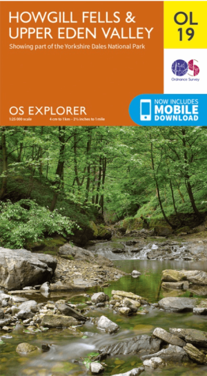
Wandelkaart OL19 Howgill Fells & Upper Eden Valley - OS • 9780319263341
Wandelkaart Howgill Fells & Upper Eden Valley - OS Productomschrijving: Topografische wandelkaart van The Howgill Fells & The Upper Eden Valley, dat deels in het Lake Distrisct National Park ligt. Omvat: Howgill Fells & Upper Eden Valley, parts of the Yorkshire Dales National Park en The Lake Distrisct National Park, The Pennine Journey, Dales High Way, Dales Way, E2 European Long D…

Scramblegids Lake District South and East - Cicerone • 9781786310453
Scramblegids - Lake District South and East - Cicerone Productomschrijving: Gids met 126 klauterroutes in het Engelse Lake District. De gegradeerde scrambles beklimmen de rotsen en ghylls van Langdale, Easedale, Coniston, Duddon Valley, Howgills, Eskdale, Longsleddale en Kentmere. Routes variëren van graad 1 tot en met graad 2 tot 4, waarbij het gebruik van een touw wordt aanbevolen. Bevat…

Wandelkaart Coast to Coast (west) St Bees to Keld - Harvey maps • 978185137618
Wandelkaart Coast to Coast (west) St Bees to Keld - Harvey maps Productomschrijving: Toont de gehele westelijke helft van de route op één deel van de kaart. Heeft betrekking op het gedeelte van St Bees naar Keld. Omvat alle alternatieve routes. Gedetailleerde kaart met aanvullende informatie en handige telefoonnummers, schaal van 1: 40.000. Nieuwe generatie HARVEY Superwalker, XT25 wat…