

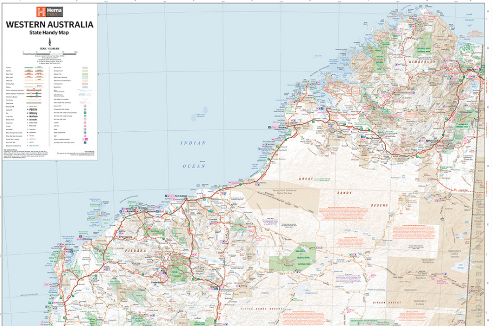
Landkaart Wegenkaart Western Australia state handy map - Hema
For touring throughout the state

Korte omschrijving
Wegenkaart Western Australia state handy map - Hema Productomschrijving: A compact map of Western Australia (WA) for touring throughout the state with a distance grid and index for planning...

Specificaties
- Uitgever: Hema Maps
- ISBN-13: 9321438001560
- HOOFDCATEGORIEËN: Wegenkaart - Landkaart
- Activiteiten: Street/Road maps & city plans
- Regio: West Australië, Western Australia
- Land: Australië
- Schaal: 1:2500000
- Editie: 13
- Taal: Engels
- Reeks/Serie: State Handy Maps, Hema
- De Australische Regio's: Western Australia
Volledige omschrijving
Wegenkaart Western Australia state handy map - Hema
Productomschrijving: A compact map of Western Australia (WA) for touring throughout the state with a distance grid and index for planning and reference. Marked on the mapping are highways, major and minor roads, camping and rest areas, 24-hour fuel, information centres, picnic areas, caravan parks and lookouts.
Artikelen uit dezelfde regio
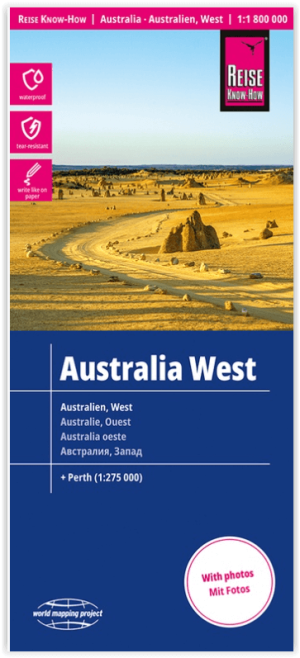
Landkaart Wegenkaart Australië West - Reise Know How • 9783831774739
Wegenkaart West Australië - Reise Know How Productomschrijving: Reis Know-How-kaarten (wereldkaart-projectreeks) zijn gemakkelijk te lezen, waterdichte en zeer duurzame reiskaarten die speciaal zijn ontworpen voor dagelijks gebruik op de weg. Omvat: The Northern Territories, Western Australia & Southern Australia. Onze kaarten combineren state-of-the-art, GPS-compatibele cartograf…
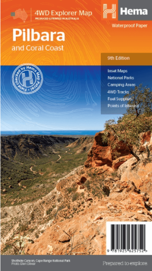
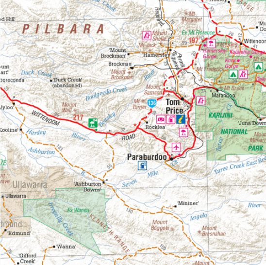
Landkaart Wegenkaart Pilbara & Coral Coast - Hema Maps • 9781925625752
Wegenkaart Pilbara & Coral Coast - Hema Productomschrijving: This regional waterproof map of the Pilbara and Coral Coast is ideal for discovering the northern reaches of Western Australia. The main map covers the diverse marine attractions around Shark Bay, François Peron National Park and the Ningaloo Reef. It also stretches to the gorges of Karijini, lush habitats of Millstream Chichest…
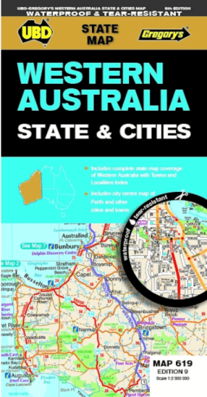

Landkaart Wegenkaart 619 Western Australia State & Cities - UBD • 9780731933198
Wegenkaart Western Australia State & Cities - Gregory's Productomschrijving: The latest edition of the Western Australia State and Cities map has been fully revised and updated. It includes a comprehensive state map with an index to the towns and localities at a scale of 1: 2.900.000 plus more detailed coverage of South West Western Australia at a scale of 1 : 1.870.000 on one side. …
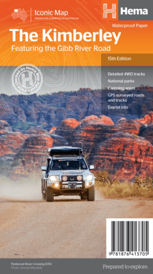
Landkaart Wegnkaart Kimberley Iconic Map, Gibb River road - Hema • 9781876413705
Wegnkaart Kimberley Iconic Map, The Gibb River road Productomschrijving: Een 660 km lange prachtige avontuurlijke route genaamd, The Kimberley Gibb River road. Engelse omschrijving: A regional map of the Kimberley that features the iconic Gibb River Road. On the reverse are inset maps for Purnululu National Park, the Dampier Peninsula and the Parry Creek area. There is also extensive …
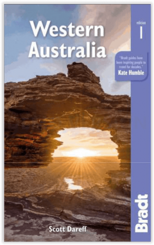
Reisgids Western Australia - Bradt guides • 9781784777531
Western Australia - Bradt Productomschrijving: Bradt's Western Australia is de eerste gids gericht op de lange landwegen, inspirerende nationale parken en wijngaarden van wereldklasse van Australië's grootste staat. Inwoner Scott Dareff heeft de afgelopen vijf jaar bijna alle 137 administratieve gebieden van de staat bezocht, waardoor hij een buitengewoon inzicht in en kennis van een van '…