

Landkaart Wegnkaart Kimberley Iconic Map, Gibb River road - Hema
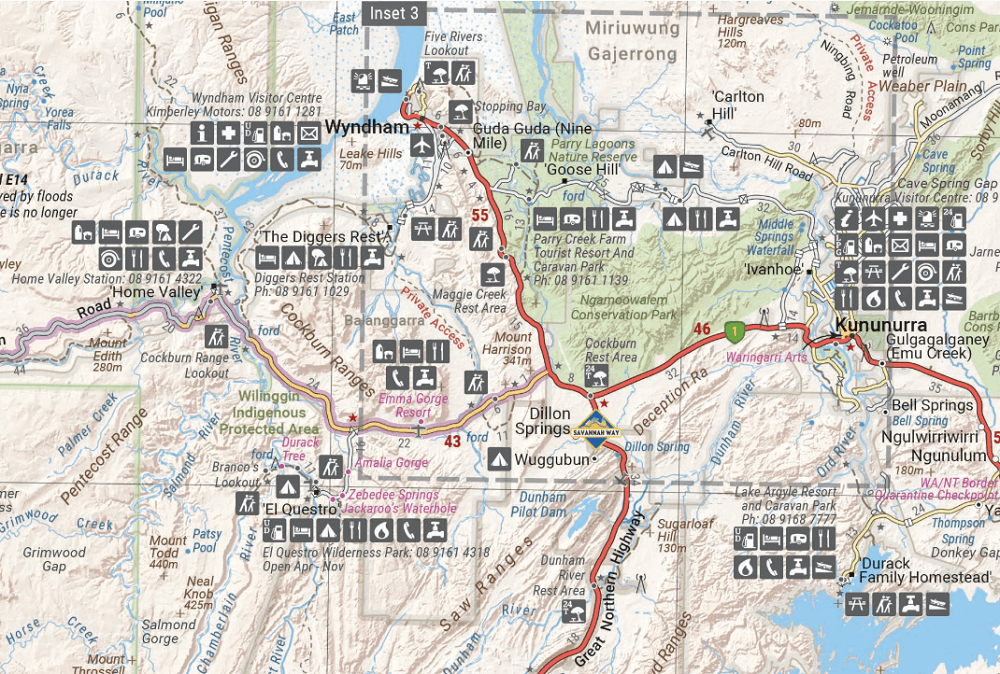
Purnululu National Park- Dampier Peninsula- Parry Creek area-
Korte omschrijving
Wegnkaart Kimberley Iconic Map, The Gibb River road Productomschrijving: Een 660 km lange prachtige avontuurlijke route genaamd, The Kimberley Gibb River road. Engelse omschrijving: A r...

Specificaties
- Uitgever: Hema Maps
- ISBN-13: 9781876413705
- HOOFDCATEGORIEËN: Wegenkaart - Landkaart
- Activiteiten: Street/Road maps & city plans
- Regio: Western Australia
- Land: Australië
- Schaal: 1:1000000
- Editie: 15
- Taal: Engels
- Reeks/Serie: Iconic Maps, Hema
Volledige omschrijving
Wegnkaart Kimberley Iconic Map, The Gibb River road
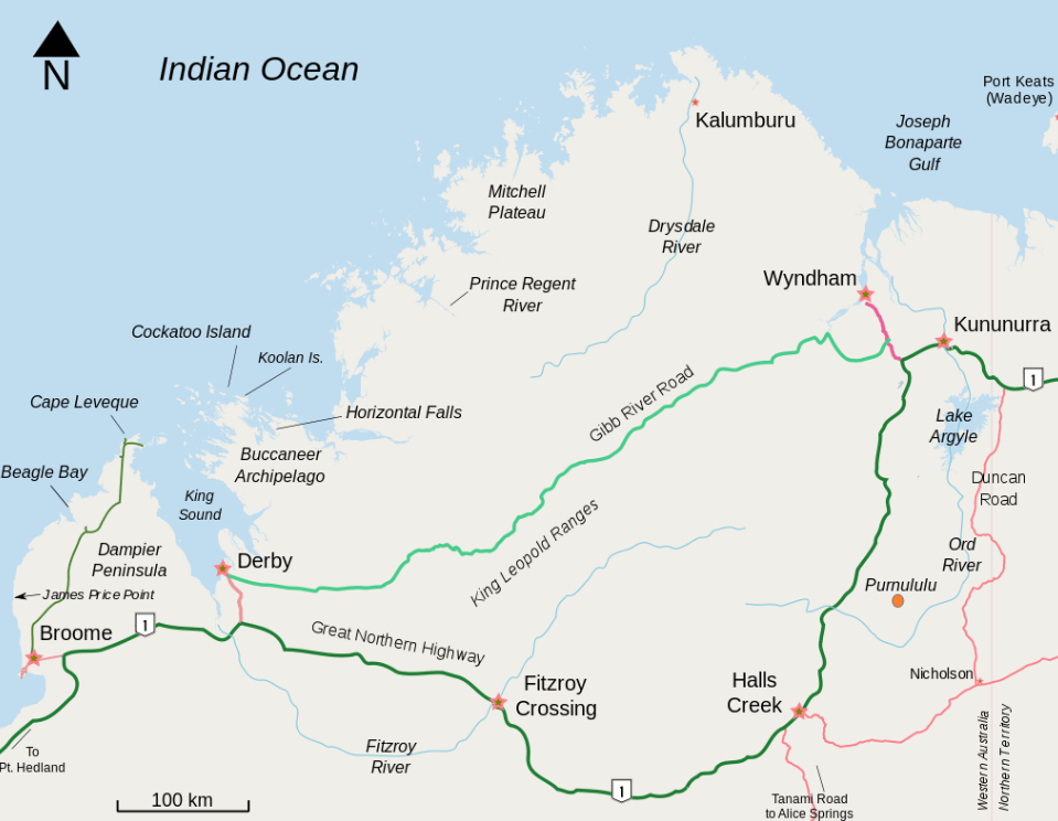
Productomschrijving: Een 660 km lange prachtige avontuurlijke route genaamd, The Kimberley Gibb River road.
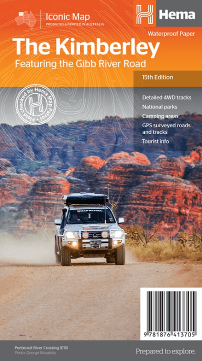
Engelse omschrijving: A regional map of the Kimberley that features the iconic Gibb River Road. On the reverse are inset maps for Purnululu National Park, the Dampier Peninsula and the Parry Creek area. There is also extensive drive detail and trip coverage for the Gibb River Road.
•Waterproof paper
•Detailed 4WD tracks
•National parks
•Camping areas
•GPS surveyed roads & tracks
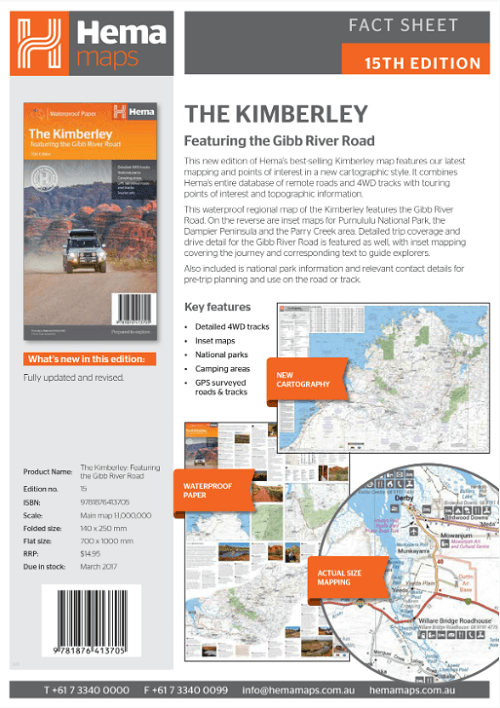
This new edition of Hema’s best-selling Kimberley map features our latest mapping and points of interest in a stunning new cartographic style. It combines Hema’s entire database of remote roads and 4WD tracks with touring points of interest and topographic information.
This waterproof regional map of the Kimberley features the Gibb River Road. On the reverse are inset maps for Purnululu National Park, the Dampier Peninsula and the Parry Creek area. Detailed trip coverage and drive detail for the Gibb River Road is featured as well, with inset mapping covering the journey and corresponding text to guide explorers.
Also included is national park information and relevant contact details for pre-trip planning and use on the road or track.
Artikelen uit dezelfde regio

Landkaart Wegenkaart West Australia Planning map - Lonely Planet • 9781788688994
Wegenkaart Western Australia Planning map - Lonely Planet Productomschrijving: With this easy-to-use, full-colour map in your back pocket, you can truly get to the heart of Western Australia - so begin your journey now! - Durable and waterproof - Easy-fold format and convenient size Handy slipcase - Full colour and easy to use Before-you-go info - Beautiful imagery Tailored itin…
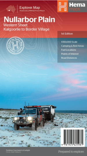
Landkaart Wegenkaart Explorer Map Nullarbor Plain - Western Map • 9781925625981
Explorer Map Nullarbor Plain Western Map - Hema Productomschrijving: This map is part of Hema's new Nullarbor Plain Map Series and covers the area from Kalgoorlie to Border Village and its surrounds. Truly one of the worlds great adventure drives, Australia's semi-arid Nullarbor Plain stretches some 1,256 kilometres (781 miles) via the Eyre Highway and links the cities of Adelaide and…
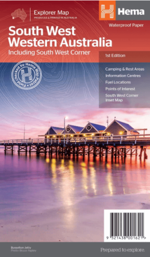
Landkaart Wegenkaart West & Zuidwest-Australië NP's - Hema • 9321438001621
Landkaart West & Zuidwest-Australië - Hema Productomschrijving: A regional map for discovering South West & Western Australia (WA). On the reverse side of the map are detailed inset maps of Nambung National Park, Avon Valley National Park, Lane Poole Reservation, the South West Corner, Stirling Range National Park, D'Entrecastreaux National Park and Albany Coast. Also included is tourist …

Wegenatlas The Kimberley atlas & guide - Hema Maps • 9781876413644
The Kimberley atlas & guide - Hema Productomschrijving: TOP 10 4WD Trips explored by RON And VIV MOON. This brand new edition of Hema’s best-selling outdoor guidebook for discovering the Kimberley now features 20 atlas pages in a stunning new cartographic style. The book features 10 4WD trips, explored and revised by well-known travel writers Ron and Viv Moon. This edition also no…

Landkaart Wegenkaart Australië Indigenous Journeys Map - Hema Map • 9781922668936
Wegenkaart Australië Indigenous Journeys Map - Hema Maps Productomschrijving: Australië Indigenous Journeys Map hema 1:5.5M Ontdek de zanglijnen van de oudste levende cultuur ter wereld Al meer dan 65.000 jaar bewandelen Aboriginals en Torres Strait Islanders - de traditionele eigenaars van Australië - het land, smeden handelsroutes, delen kennis en zorgen voor het land. De Indigenou…