

Landkaart Wegenkaart R4 Grieks Macedonië - Anavasi Ed.
Pindus mountain range - Nestos river

Korte omschrijving
Wegenkaart Grieks Macedonië - Anavasi Productomschrijving: The road map of Macedonial on a scale of 1:230.000, covers the entire region of Macedonia from the Pindus mountain range to the Ne...

Specificaties
- Uitgever: Anavasi Editions
- ISBN-13: 9789609412100
- HOOFDCATEGORIEËN: Wegenkaart - Landkaart
- Activiteiten: Street/Road maps & city plans
- Regio: Macedonië, Balkan
- Land: Griekenland
- Schaal: 1:230000
- Taal: Engels
- Reeks/Serie: Anavasi Griekelnad Regionale kaarten
- De Griekse Eilanden: Centraal Griekenland
Volledige omschrijving
Wegenkaart Grieks Macedonië - Anavasi
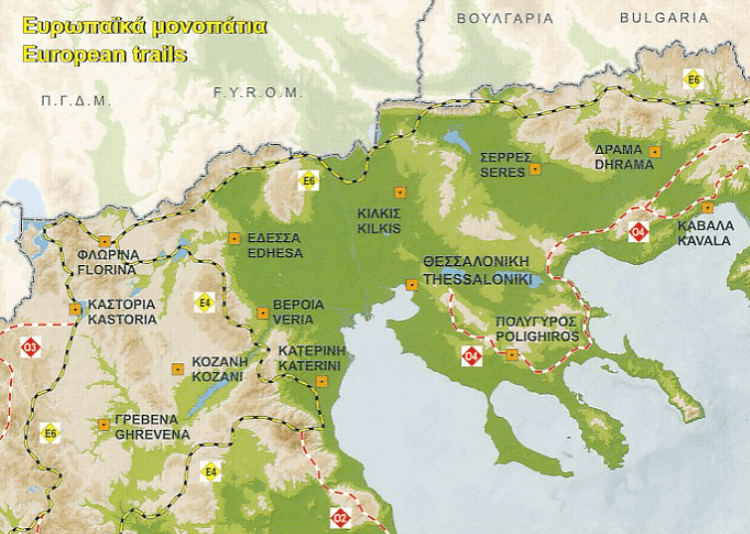
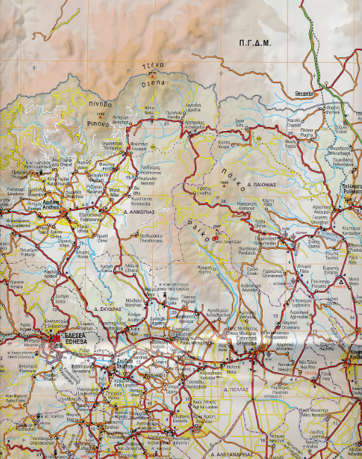
Productomschrijving: The road map of Macedonial on a scale of 1:230.000, covers the entire region of Macedonia from the Pindus mountain range to the Nestos river. The map depicts the topography with a coloured shaded relief, the new administrative divisions, new roads, settlements, monuments and major place-names, national parks, ski resorts, mountain refuges, the course of the European paths E4 and E6, and wineries that are open to the public. Contact details of the wineries are included in the booklet, along with the settlements index.
On the side of the map selected nature escapes are presented.

Overzichtskaarten
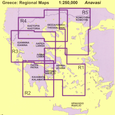
Avavasi Regionale wegenkaarten R1 > R5 - 1:200.000
Avavasi Regionale wegenkaarten R1 > R5 - 1:200.000
Producten op de overzichtskaart
Klik op een product om naar de detailpagina te gaan.
- Landkaart Wegenkaart R1 Cyclades & Argosaronic - Anavasi Ed.
- Landkaart Wegenkaart R2 Peloponnesos - Anavasi
- Landkaart Wegenkaart R3 Griekenland Centraal - Anavasi Ed.
- Landkaart Wegenkaart R4 Grieks Macedonië - Anavasi Ed.
- Landkaart Wegenkaart R5 Thraki-Aegan Noord - Anavasi Ed.
- Landkaart Wegenkaart R6 Kreta Griekenland - Anavasi Ed.
Artikelen uit dezelfde regio
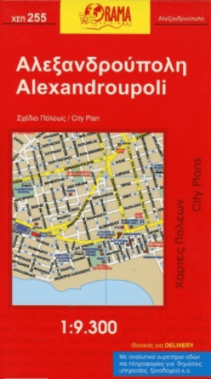
Stadskaart Plattegrond C255 Alexandroupoli Macedonië - Orama • 9789608283633
Stadskaart Alexandroupoli Oost-Macedonië Griekenland Productomschrijving: Deze stadskaart omvat alle details, straten, locaties, P.O.I's, touristen details, voor de Oost-Mecedonische stad van Alexandroupoli in Griekenland. This Orama Editions title provides street and tourist details for the city of Alexandroupoli.

Reisgids Anwb Extra Noord-Macedonië Balkan - Anwb • 9789018054441
Reisgids Noord-Macedonië Balkan - Anwb Productomschrijving: Beleef Macedonië met de compleet vernieuwde reisgids ANWB Extra Macedonië! (Noord) Macedonië wordt door zijn vele prachtige bergen en groene weides ook wel het Zwitserland van de Balkan genoemd. Hierdoor is Macedonië de perfecte bestemming voor een leuke vakantie. De compacte ANWB Extra reisgids Macedonië biedt naast diverse …
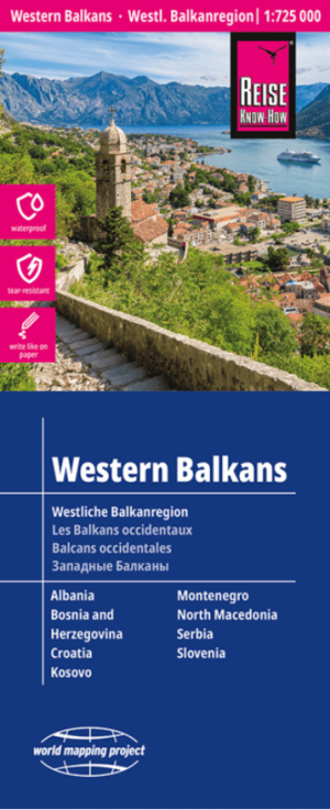
Landkaart Wegenkaart Balkan West - Reise Know How • 9783831774890
Wegenkaart Westelijke Balkan - Reise Know How Productomschrijving: Reis Know-How-kaarten (wereldkaart-projectreeks) zijn gemakkelijk te lezen, waterdichte en zeer duurzame reiskaarten die speciaal zijn ontworpen voor dagelijks gebruik op de weg. Omvat: Voormalig Joegoslavië, Slovenië & Albanië. Onze kaarten combineren state-of-the-art, GPS-compatibele cartografie (inclusief hypsome…
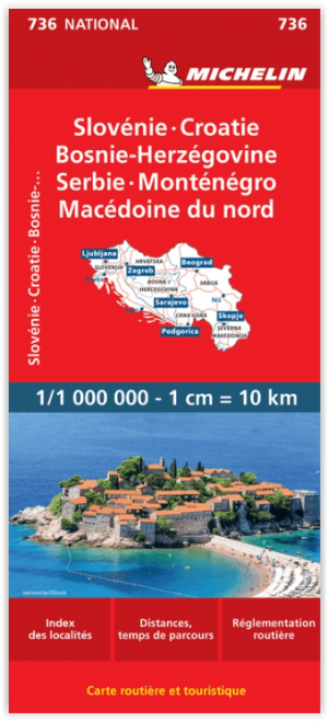
Landkaart Wegenkaart 736 Slovenië- Kroatië- Bosnië & Servië • 9782067171930
Wegenkaart Slovenië- Kroatië- Bosnië & Servië - Michelin Productomschrijving: Deze Nationale kaart van Slovenië- Kroatië- Bosnië- Servië & Macedonië, werd ontwikkeld, om zich snel uit de voeten wil maken, met plaatsnamenindex, en toeristische informatie, geven u alle elementen om dat werkelijkheid te maken. De kaarten zijn gemakkelijk leesbaar en gedrukt op sterk papier. De rode Michel…

Wandelkaart 209 Mount Athos - Terrein Maps • 9789609456999
Wandelkaart Mount Athos - Terrein Maps Productomschrijving: The first highly accurate map of Mt Athos. Created with GPS technology and extensive field survey, this map of Mt. Athos from TERRAIN Editions offers to the visitor a unique wealth of information. If you plan to hike from one monastery to the other, explore the mainland or climb to the top of Mt. Athos, this precise and reliab…