
Landkaart Australië Great Desert Tracks (West) - Hema Maps
Great Desert Tracks Western Sheet - Derby - Norseman- Halls Creek


Korte omschrijving
Wandelkaarten Western Australia en Centraal Australië van Hema Maps. Ideaal voor tochten in Australië.
Australië Great Desert Tracks (West) - Hema Productomschrijving: Great Desert Tracks Western Sheet (9th edition) - covering from beyond Derby in the north to Norseman in the south, and from ...

Specificaties
- Uitgever: Hema Maps
- ISBN-13: 9781922668059
- HOOFDCATEGORIEËN: Wegenkaart - Landkaart
- Activiteiten: Street/Road maps & city plans, Toerisme
- Regio: Centraal Australië, Western Australia
- Land: Australië
- Schaal: 1:1250000
- Editie: 9
- Taal: Engels
- De Australische Regio's: Western Australia
Volledige omschrijving
Australië Great Desert Tracks (West) - Hema
Productomschrijving: Great Desert Tracks Western Sheet (9th edition) - covering from beyond Derby in the north to Norseman in the south, and from Halls Creek in the east to Marble Bar in the west, the Great Desert Tracks Western Sheet is essential for anyone travelling to this remote part of the Australian outback.
Hema's Great Desert Tracks maps are essential for anyone travelling in the Australian outback. The mapping features roads and 4WD tracks field-checked by the Hema Map Patrol, Points of Interest for remote area travellers and touring information for learning more about the region and planning your journey.
The Great Desert Tracks Western Sheet covers from beyond Derby in the north to Norseman in the south, and from Halls Creek in the east to Marble Bar in the west. Marked on the mapping are roads and 4WD tracks checked by the Hema Map Patrol, distance markers, topographical relief and touring points of interest including 24-hour fuel, camping areas and caravan parks, facilities, services and more. Also included is information on travelling in the desert, what you need for the trip and relevant contact information.
Key tracks include:
- Gunbarrel Highway
- Great Central Road
- Connie Sue Highway
- Anne Beadell Highway (West)
- Nullabor Plain
- Canning Stock Route
- Talawana Track
- Great Sandy Desert
KEY FEATURES
- All maps field checked by the Hema Map Patrol
- Printed on durable, waterproof paper
- Camping areas
- Fuel supplies
- GPS surveyed roads and tracks
- Historical explorer routes
- Points of Interest
Artikelen uit dezelfde regio
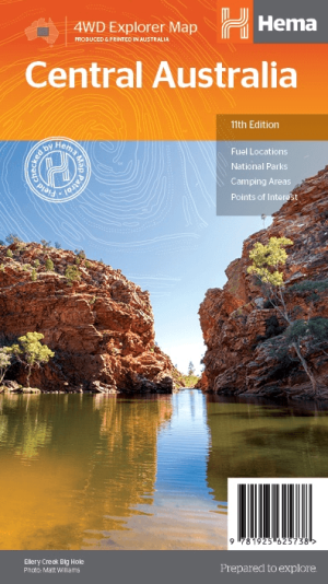
Landkaart Australië Centraal - Hema Maps • 9781925625738
Wegenkaart Landkaart Centraal Australië - Hema Productomschrijving: Discover Australia's ancient heartland This map of the Central Australia region is ideal for discovering some of Australia's most iconic landscapes. The main map covers the area around Alice Springs, including Uluru, Kata Tjuta, West MacDonnell Range, as well as the Simpson Desert, and popular tracks such as the Hay R…
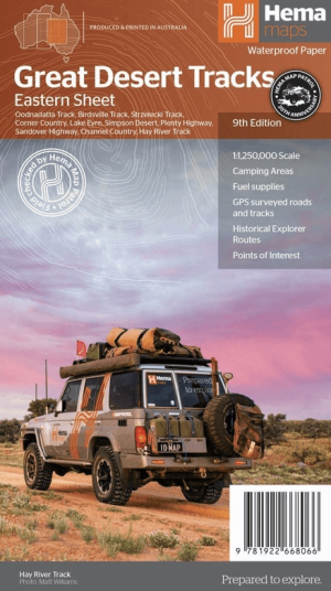
Landkaart Australië Great Desert Tracks (Oost) - Hema Maps • 9781922668066
Australië Great Desert Tracks Oost - Hema Productomschrijving: Great Desert Tracks Eastern Sheet (9th edition) - covering from Tennant Creek in the north to Port Pirie in the south, and from Cunamulla in the east to Alice Springs in the west this map is essential for anyone travelling in this remote part of outback Australia. Hema's Great Desert Tracks maps are essential for anyone tr…

Landkaart Wegenkaart Great Desert Tracks Simpson Desert - Hema • 9781922668073
Wegenkaart Great Desert Tracks Simpson Desert - Hema Productomschrijving: Great Desert Tracks Simpson Desert (9th edition) - discover the Simpson Desert with detailed mapping, relevant points of interest and essential touring information for the journey. Hema's Great Desert Tracks maps are essential for anyone travelling in the Australian outback. The mapping features roads and 4WD tr…

Kampinggids Perth & The South West 4WD + Camping escapes - Hema • 9781865006215
Wegenatlas Kampinggids Perth & The South West Productomschrijving: 4WD + Camping Escapes – Perth & the South West is a guide to the best four-wheel driving and camping locations in South West Western Australia. Each regional section outlines the area’s 4WD Tracks and Featured Camping Areas, with a Camping Directory at the end to provide comprehensive coverage of other camping areas. T…
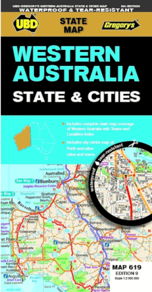

Landkaart Wegenkaart 619 Western Australia State & Cities - UBD • 9780731933198
Wegenkaart Western Australia State & Cities - Gregory's Productomschrijving: The latest edition of the Western Australia State and Cities map has been fully revised and updated. It includes a comprehensive state map with an index to the towns and localities at a scale of 1: 2.900.000 plus more detailed coverage of South West Western Australia at a scale of 1 : 1.870.000 on one side. …