

Wandelkaart South West Coast Path 3 - Harvey Maps
Laatste DEEL > Plymouth naar Poole Harbour (339 km)

Korte omschrijving
Wandelkaarten South West England, Devon, England en Cornwall, England van HARVEY MAPS. Ideaal voor tochten in England.
South West Coast Path - Harvey Maps Productomschrijving: Het South West Coast path is een dikke 1014 km lang en omvat het volledige South-West-England met daarin Devon & Corwall. Het pad is ...

Specificaties
- Uitgever: HARVEY MAPS
- ISBN-13: 9781851376834
- HOOFDCATEGORIEËN: Wandelkaart
- Activiteiten: Wandelen, Hiking & Trekking
- Regio: Cornwall, England, Devon, England, South West England
- Land: England
- Lange afstand wandelroutes: South West Coast Path - SWCP (1014 km)
- Schaal: 1:40000
- Taal: Engels
- Reeks/Serie: National Trails, UK
- Iconische Wandelroutes: South West coast Path, Cornwall UK
- National Trails UK, England & Wales: South West Coast Path, England
Volledige omschrijving
South West Coast Path - Harvey Maps
Productomschrijving: Het South West Coast path is een dikke 1014 km lang en omvat het volledige South-West-England met daarin Devon & Corwall. Het pad is een National trail en behoort tot de langste routes van Engeland. De route start in Minehead in Somerset en loopt de volledige kust af tot in Poole in Dorset. OPGELET: deze kaart omvat het laatste deel van de route: van Plymouth naar Poole Harbour 339 km.
Engelse omschrijving: The South West Coast path is a 1014km (630mile) long distance path and the longest National Trail in England.
The whole path stretches from Minehead in Somerset to Poole in Dorset. (1014 km)
- This updated Trail Map covers the third and final section of the South West Coast Path from Plymouth to Poole Harbour which is 339 km (211 miles).
- Includes the Jurassic Coast World Heritage Site and Durdle Door, the famous sea arch in Dorset.
- The entire route on 3 sheets. This is map 3 of 3, a good two weeks? walking on one map.
- The XT40 is based on original HARVEY mapping with all the detail a walker would expect on a map at 1:40,000 scale.
- Clear and easy to read mapping which is uncluttered by information irrelevant to the walker.
- Printed on tough, light and 100% waterproof paper, less than half the weight of a laminated map.
- Shows facilities and services along the route
Artikelen uit dezelfde regio
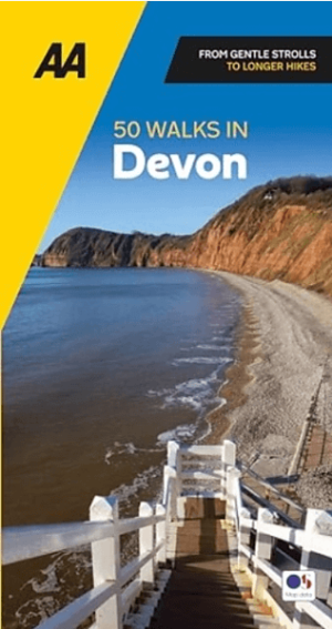
Wandelgids Devon 50 walks in Devon - AA Publishing • 9780749583712
Wandelgids Devon 50 walks in Devon - AA Publishing Productomschrijving: Devon, gelegen in het zuidwesten van Engeland, is een waar wandelparadijs met een adembenemend gevarieerd landschap. Met 50 prachtige wandelroutes biedt het voor iedere wandelaar iets bijzonders, van dramatische kliffen langs de kust tot weelderige groene valleien en pittoreske dorpen in het binnenland. 1. Kustwand…
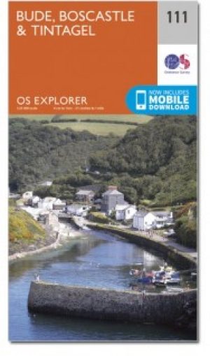
Wandelkaart 111 Bude- Boscastle & Tintagel- Devon - OSI • 9780319469910
Wandelkaart Bude- Boscastle & Tintagel area - Devon England Productbeschrijving: Kaart nummer 111 in de OS Explorer kaarten reeks is de perfecte kaart om te gebruiken om te wandelen, te fietsen of om te kamperen in Bude, Boscastle en Tintagel. Alle drie plaatsen kunnen worden bezocht via de South West Coast Path. Hoogtepunten van het gebied zijn onder andere Tintagel Castle, Bude, fishing …

Landkaart Wegenkaart 7 Zuidwest Engeland & Zuid Wales - OSI • 9780319263792
Wegenkaart Zuidwest Engeland & Zuid Wales - OSI Productomschrijving: Plan your journey with this series of road maps from OS. Showing all major road, rail and ferry links as well as settlements and selected features in 1: 250 000 scale, this is the ideal map for planning trips and holidays by car or cycle. OS Road 7 covers: the south-west England plus south Wales, Devon & Cornwall. …

Wandelkaart - South West Coast Path 1 - Harvey maps • 9781851374229
Wandelkaart - South West Coast Path 1 - Harvey maps Productomschrijving: Waterdichte XT40 kaart van Harvey. Een ideale kaart voor wandelaars op de langste en op één van haar meest populairste nationale routes. Het loopt langs de kust van Somerset, Cornwall en Devon, Dorset van Minehead round via Land's end naar Poole. Het omvat alle 95 mijls van het World Heritage site bekend als de Jurass…
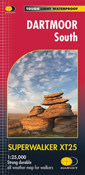
Wandelkaart XT25 Dartmoor Zuid Devon England - Harvey Maps • 9781851375677
Wandelkaart XT25 - Dartmoor Zuid, Devon England - Harvey Maps Productomschrijving: Dartmoors beroemde details omvatten Haytor Rocks en jawel Tor. Het formaat geeft meer toewijzing aan de kaart zonder de kaart zwaar en volumineus te maken. De vouw is ontwikkeld zodat u rechtstreeks naar elk deel kunt gaan, eenvoudig en geen gevecht meer tegen de wind. De duidelijkheid van de toewijzing is v…