

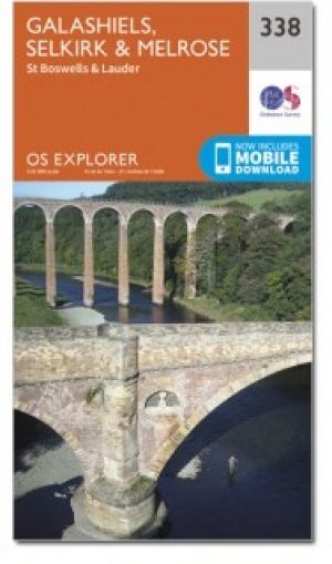
Wandelkaart 338 Galashiels Selkirk & Melrose - OSI
Southern Upland Way & Borders Abbeys Way

Korte omschrijving
Wandelkaarten Schotse grenzen van Ordnance Survey. Ideaal voor tochten in Schotland.
Wandelkaart Galashiels- Selkirk & Melrose - Scotisch Borders Omvat ook: St-Boswell’s & Lauder. Productbeschrijving: Kaart nummer 338 dekt Galashiels, Selkirk en Melrose. Hoogtepunten zij...

Specificaties
- Uitgever: Ordnance Survey
- ISBN-13: 9780319472101
- HOOFDCATEGORIEËN: Wandelkaart
- Activiteiten: Wandelen, Hiking & Trekking
- Regio: Schotse grenzen
- Land: Schotland
- Waterafstotende kaart: Ordnance Survey ACTIVE Explorer Weatherproof Maps
- TOPO's & Stafkaarten: Topografisch wandelen
- Schaal: 1:25000
- Taal: Engels
- Reeks/Serie: Explorer ACTIVE Series OSI
Volledige omschrijving
Wandelkaart Galashiels- Selkirk & Melrose - Scotisch Borders
Omvat ook: St-Boswell’s & Lauder.
Productbeschrijving: Kaart nummer 338 dekt Galashiels, Selkirk en Melrose. Hoogtepunten zijn onder andere Eilon en Leaderfoot, Southern Upland Way en Borders Abbeys Way. Omvat ook Lauder, St. Boswells, Bloomfield en Fountainhall. De OS Explorer kaart voor Galashiels, Selkirk & Melrose is beschikbaar in zowel de standaard papieren versie als de weerbestendige 'Actief' versie.
Productdiscription: Map sheet number 338 covers Galashiels, Selkirk and Melrose. Highlights include Eilon and Leaderfoot, Southern Upland Way and Borders Abbeys Way. Also includes Lauder, St Boswells, Bloomfield and Fountainhall. The OS Explorer map for Galashiels, Selkirk & Melrose is available in both the standard paper version and weatherproof 'Active' version.
Locatie op kaart
Gekoppelde artikelen
Wandelkaart 338 Galashiels- Selkirk & Melrose - OSI • 9780319245903
standaard versieWandelkaart Galashiels- Selkirk & Melrose - Schotish Borders Productbeschrijving: St Boswell’s & Lauder. 338 / Galashiels, Selkirk & Melrose, Scotish Borders - Kaart nummer 338 dekt Galashiels, Selkirk en Melrose. Hoogtepunten zijn onder meer Eilon en Leaderfoot, Southern Upland Way en Borders Abbeys Way. Omvat ook Lauder, St. Boswells, Bloomfield en Fountainhall. De OS Explorer kaart …

Wandelkaart 338 Galashiels Selkirk & Melrose - OSI • 9780319472101
weatherproof versieWandelkaart Galashiels- Selkirk & Melrose - Scotisch Borders Omvat ook: St-Boswell’s & Lauder. Productbeschrijving: Kaart nummer 338 dekt Galashiels, Selkirk en Melrose. Hoogtepunten zijn onder andere Eilon en Leaderfoot, Southern Upland Way en Borders Abbeys Way. Omvat ook Lauder, St. Boswells, Bloomfield en Fountainhall. De OS Explorer kaart voor Galashiels, Selkirk & Melrose is besc…
Artikelen uit dezelfde regio

Wandelkaart 324 Liddesdale & Kershope Forest - OSI • 9780319263297
Wandelkaart Liddesdale & Kershope Forest - Schotish borders Productbeschrijving: Aan de Schotse - Engelse grens, omvat OS Explorer kaart 324 Liddesdale, Kershope forest en het Liddel Water. De Hermitage Castle in de buurt van Liddel Water, die er ene is van de best bewaarde in Schotland. De OS Explorer kaart voor doorverwijspagina & Kershope Forest is beschikbaar in zowel de standaard papi…
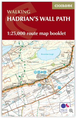
Wandelgids Hadrian's Wall Path Map Booklet - Cicerone • 9781786311511
Map Booklet Hadrian's Wall Path - Cicerone Productomschrijving: Boekje van het Hadrian's Wall Path National Trail van 84 mijl (135 km), van Bowness-on-Solway naar Wallsend, Newcastle. Dit boekje is inbegrepen bij de Cicerone gids voor het pad (9781786311504) en toont de volledige route op OS 1:25.000 kaarten. De route duurt meestal een week en is geschikt voor wandelaars van alle ervarings…
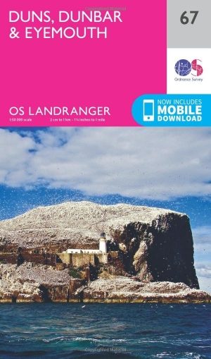
Wandelkaart 67 Duns- Dunbar & Eyemouth- Schotland - OSI • 9780319261651
Wandelkaart Duns- Dunbar & Eyemouth - Schotland Productbeschrijving: OS Landranger kaart 67 toont de oostkust in de buurt van Edinburgh, en omvat de steden Duns, Dunbar, East Linton, Eyemouth en Cosckburnspath. Het markeert het oostelijke uiteinde van de Southern Upland Way, en u kunt het ook verkennen van de Lammermuir Hills. De OS Landranger kaarten reeks heeft betrekking op Groot-Br…

Wandelkaart 337 Peebles & Interleithen - OSI • 9780319472095
Wandelkaart Peebles & Interleithen - Schotisch borders Omvat ook: Eddleston & Ettrickbridge Traquair & Yarrow. Productbeschrijving: OS Explorer kaart 337 dekt Peebles, Zeist en de omliggende dorpen. Deze kaart toont deel van de "Southern Upland Way" (deel van de E2 Europese Long Distance pad) en de Peebles end van "John Buchan Way", samen met deel van de bovenste Tweeddale nationale Sc…
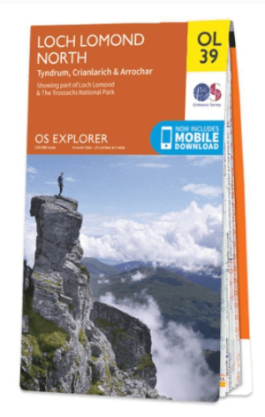
Wandelkaart OL39 Loch Lomond North & Tyndrum - OS • 9780319242780
Wandelkaart Loch Lomond North & Tyndrum - OS Productomschrijving: Loch Lomond North & Tyndrum, Crianlarich & Arrochar, part of Loch Lomond & The Trossachs National Park. Omvat: Loch Lomond North & Tyndrum, Crianlarich & Arrochar, part of Loch Lomond & The Trossachs National Park. Ontdek de OL-serie van Ordnance Survey: De OL-serie (Outdoor Leisure) van Ordnance Survey is dé refe…