

Wandelgids White Peak walks Southern Dales - Cicerone
Peak District National Park in Staffordshire en Derbyshire


Korte omschrijving
Wandelgidsen Midlands, England en Peak District van CICERONE Press. Ideaal voor tochten in England.
Wandelgids - White Peak walks Southern Dales - Cicerone Productomschrijving: Deze gids gaat over wandelen in de zuidelijke dales van de witte piekoppervlakte van het Peak District, tussen As...

Specificaties
- Uitgever: CICERONE Press
- ISBN-13: 9781852845186
- HOOFDCATEGORIEËN: Wandelgids
- Activiteiten: Wandelen, Hiking & Trekking
- Auteur: Mark Richards
- Regio: Midlands, England, Peak District
- Land: England
- Nationale parken: Peak District NP, Derbyshire UK
- Editie: 2
- Taal: Engels
Volledige omschrijving
Wandelgids - White Peak walks Southern Dales - Cicerone
Productomschrijving: Deze gids gaat over wandelen in de zuidelijke dales van de witte piekoppervlakte van het Peak District, tussen Ashbourne, Matlock, Buxton en Leek. 30 gemakkelijke circulaire routes doorsteken de hoge plateau en volgen de Dove, Manifold en Hamps rivieren door de dales in het UK's eerste Nationaal Park. Eén van twee Cicerone gidsen over de White Peak.
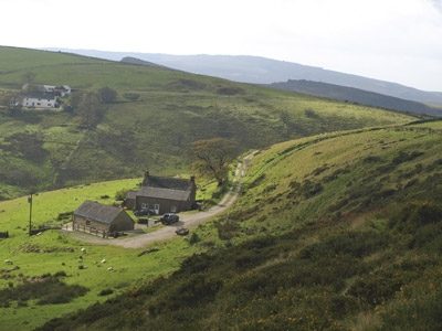
Deze gids verkent de zuidelijke dales van de witte piekoppervlakte van het Peak District National Park in Staffordshire en Derbyshire. 30 wandelingen zijn inbegrepen in deze handleiding, tussen 3 en 9 mijl lang. Van de gronden van Ilam Hall, naar beneden door de oude spoorlijnbedding van Mainfold Trail en dergelijke bezienswaardigheden als de grot van Thor langs de route, het zuidelijke deel van de White Peak biedt verscheidenheid en schoonheid en wacht om ontdekt te worden.
Product description: This guide to walking the southern dales of the White Peak area of the Peak District National Park, between Ashbourne, Matlock, Buxton and Leek. 30 easy circular routes cross the high plateau and visit the dales, following the Dove, Manifold and Hamps rivers. One of two Cicerone guides to the White Peak.
Seasons:
The exquisite beauty of this landscape is fringed by and adorned with a multitude of wild flowers in spring and summer. Although modern clothing and equipment enable you to experience the thrill of wilder weather, responsible walker should seek to minimise their impact especially on heavily worn paths in the wetter seasons.
Centres:
Castleton, Hope, Bradwell, Hathersage, Baslow, Tideswell, Bakewell, Buxton, Monyash, Youlgrave, Winster, Matlock Spa and Cromford.
Difficulty:
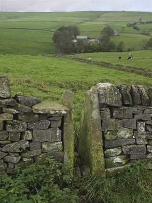
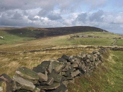
Easy, circular walks on good paths, well waymarked, between 3 and 10 miles long, easy to combine into longer routes - simple country walking with the odd citrus twist in the limestone dales! Modern walking boots will give good protection in such stony situations and walking poles lend reassurance in descent.
Locatie op kaart
Artikelen uit dezelfde regio

Landkaart Wegenkaart 5 Midlands Oost & East Anglia - OSI • 9780319263778
Wegenkaart Midlands Oost & East Anglia - OSI Productomschrijving: Plan your journey with this series of road maps from OS. Showing all major road, rail and ferry links as well as settlements and selected features in 1: 250 000 scale, this is the ideal map for planning trips and holidays by car or cycle. OS Road 5 covers: the East Midlands, including the Norfolk and the Thames Estuary.…

Landkaart Wegenkaart 05 Midlands & Engeland Centraal - AA Road • 9780749584689
Wegenkaart 05 Midlands & Engeland Centraal - AA Road Maps Productomschrijving: AA Road Map Midlands & Central England is a practical and slimline, foldable map from the experts at the AA. Encased in a durable, weatherproof cover, the mapping is produced at a scale of 3 miles to 1 inch (1:200,000 / 2km to 1cm) combining clear design, an easy-to-read scale and more road detail to ensure that…
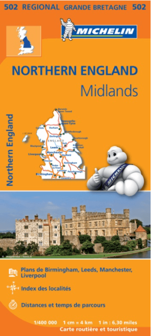
Landkaart Wegenkaart 502 Engeland Noord & Midlands - Michelin • 9782067183230
Regionale Wegenkaart Noord Engeland & the Midlands Productomschrijving: De volledig bijgewerkte MICHELIN-kaart van Engeland Noord, Midlands geeft u alle WEG- EN TOERISME-informatie die u nodig hebt om uw reizen in deze regio te optimaliseren: een INDEX VAN LOCATIES, een TABEL VAN AFSTANDEN en REISTIJDEN. Dankzij de schaal van 1:400.000 (1 cm = 4 km) kun je zowel de hoofdwegen als de klein…

Wandelgids Dark Peak Walks in the Peak District - Cicerone • 9781852845193
Wandelgids - Dark Peak Walks in the Peak District - Cicerone Productomschrijving: Het Nationaal park Peak District, is een zeer heuvelrijk nationaal park in het noorden van Engeland. Meestal wordt het onderverdeeld in het noordelijke Dark Peak, waar vooral veel heidegebieden zijn en het zuidelijke White Peak, waar de meeste mensen wonen. Product description: Located in the Peak Distric…
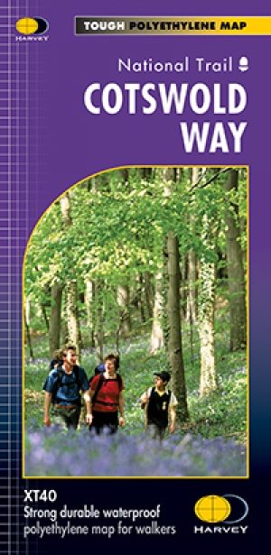
Wandelkaart Cotswold Way - Harvey maps • 9781851374182
Wandelkaart Cotswold Way - Chipping Campden to Bath - Harvey maps Productomschrijving: Toont de gehele 166km (103miles) van The Cotswold Way, door de Cotswolds van Chipping Campden naar Bath, Broadway, Winchcombe, Stroud, Wooton-under-Edge en Chipping Sodbury passeren. Informatie over het vinden van accommodatie, camping, voedsel. Routebeschrijving naar het begin. Ook Ranger Service en…