

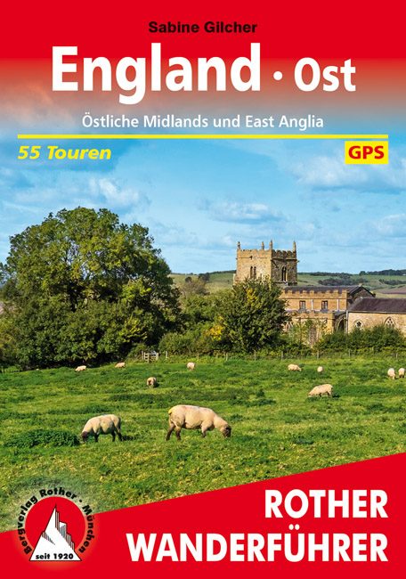
Wandelgids Ostliche Midlands & East Anglia - Rother
Een wandelgids vol tips en 55 wandelroutes in Engeland
Korte omschrijving
Wandelgidsen Midlands, England en East Anglia, England van Rother Bergverlag GmbH. Ideaal voor tochten in England.
Wandelgids England- Ostliche Midlands & East Anglia - Rother Productomschrijving: Een wandelgids vol tips en 55 wandlroutes in- en rond de mooie regio van oost-Midland's en East Anglia in he...

Specificaties
- Uitgever: Rother Bergverlag GmbH
- ISBN-13: 9783763345298
- HOOFDCATEGORIEËN: Wandelgids
- Activiteiten: Wandelen, Hiking & Trekking
- Auteur: Sabine Gilcher
- Regio: East Anglia, England, Midlands, England
- Land: England
- Editie: 1
- Taal: Duits
- Reeks/Serie: Rother Wanderbuch
Volledige omschrijving
Wandelgids England- Ostliche Midlands & East Anglia - Rother
Productomschrijving: Een wandelgids vol tips en 55 wandlroutes in- en rond de mooie regio van oost-Midland's en East Anglia in het oosten van Engeland. Deze regio is gelegen rechts op het continent van Engeland boven de hoofdstad London. Deze gids biedt u 55 routes en een variatie aan bezienswaardigheden langs de routes. Een goeie informatieve gids, weliswaar Duitstalig, voor de wandelaar die net dat iets meer wenst on een andere taal van het grote Engelse landschap.
.png)
Locatie op kaart
Artikelen uit dezelfde regio
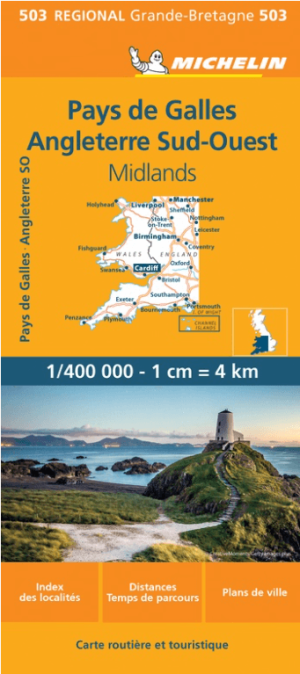
Landkaart Wegenkaart 503 Wales, Midlands & Engeland ZW - Michelin • 9782067183285
Regionale Wegenkaart Wales, Midlands & Engeland ZW - Michelin Productomschrijving: De volledig bijgewerkte MICHELIN kaart van Engeland Zuidwest Wales biedt u alle weg- en toeristische informatie die u nodig heeft om het meeste uit uw reis te halen: een INDEX VAN LOCATIES en een TABEL VAN AFSTANDEN en REISTIJDEN. De schaal van 1:400.000, d.w.z. 1 cm = 4 km, maakt het gemakkelijk om zowel d…

Wandelkaart 21 North Norfolk Coast - AA • 9780749573270
Wandelkaart 21 - North Norfolk Coast - AA Productomschrijving: AA, in samenwerking met Ordinance Survey, heeft een reeks kaarten ontwikkeld die zich op populaire toeristische bestemmingen van de UK richten, zodat meerdere OS-kaarten niet vereist zijn. Deze kaart richt zich op de Norfolk Broads uit Lowestoft in het oosten aan Coltishall in het westen en uit Bungay in het zuiden tot Sea Pall…

Wandelgids White Peak walks Southern Dales - Cicerone • 9781852845186
Wandelgids - White Peak walks Southern Dales - Cicerone Productomschrijving: Deze gids gaat over wandelen in de zuidelijke dales van de witte piekoppervlakte van het Peak District, tussen Ashbourne, Matlock, Buxton en Leek. 30 gemakkelijke circulaire routes doorsteken de hoge plateau en volgen de Dove, Manifold en Hamps rivieren door de dales in het UK's eerste Nationaal Park. Eén van twee…

Landkaart Wegenkaart 5 Midlands Oost & East Anglia - OSI • 9780319263778
Wegenkaart Midlands Oost & East Anglia - OSI Productomschrijving: Plan your journey with this series of road maps from OS. Showing all major road, rail and ferry links as well as settlements and selected features in 1: 250 000 scale, this is the ideal map for planning trips and holidays by car or cycle. OS Road 5 covers: the East Midlands, including the Norfolk and the Thames Estuary.…

Landkaart Wegenkaart 6 Wales & Midlands West - OSI • 9780319263785
Wegenkaart Wales & Midlands West - OSI Productomschrijving: Plan your journey with this series of road maps from OS. Showing all major road, rail and ferry links as well as settlements and selected features in 1: 250 000 scale, this is the ideal map for planning trips and holidays by car or cycle. OS Road 6 covers: the Wales plus the West Midlands.