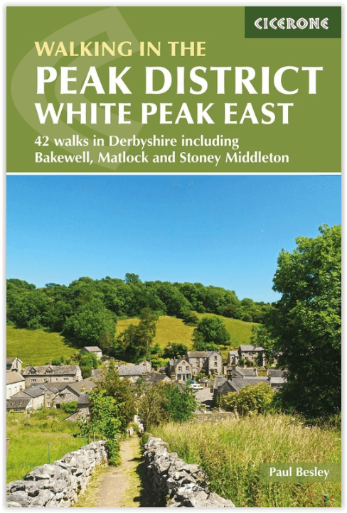
Wandelgids Walking in the Peak District - Cicerone
Omvat 35 wandelroutes tussen Edale- Matlock & Buxton
Korte omschrijving
Wandelgids - Walking in the Peak District - Cicerone Productomschrijving: Deze gids omvat 35 wandelroutes door de gritstone-hooglanden en heidevelden in de noordelijke valleien van de White ...

Specificaties
- Uitgever: CICERONE Press
- ISBN-13: 9781852849764
- HOOFDCATEGORIEËN: Wandelgids
- Activiteiten: Wandelen, Hiking & Trekking
- Auteur:: Paul Besley
- Regio: Derbyshire & Peak District, England
- Land: England
- Nationale parken: Peak District NP, Derbyshire UK
- Editie: 3
- Taal: Engels
Volledige omschrijving
Wandelgids - Walking in the Peak District - Cicerone
Productomschrijving: Deze gids omvat 35 wandelroutes door de gritstone-hooglanden en heidevelden in de noordelijke valleien van de White Peak tussen Edale, Matlock en Buxton, in het midden van het Peak District National Park. De routes verkennen Bakewell en de Wye en zijn zijrivieren. Deze omvat slechts één van de twee Cicerone-gidsen naar de White Peak.
Product description: This guidebook describes 35 circular walks cross the gritstone uplands and moors in the northern dales of the White Peak between Edale, Matlock and Buxton, in the middle of the Peak District National Park. Routes explore Bakewell and the Wye and its tributary dales. One of two Cicerone guides to the White Peak.
Seasons:
The exquisite beauty of this landscape is fringed by and adorned with a multitude of wild flowers in spring and summer. Although modern clothing and equipment enable you to experience the thrill of wilder weather, responsible walker should seek to minimise their impact especially on heavily worn paths in the wetter seasons.
Centres:
Castleton, Hope, Bradwell, Hathersage, Baslow, Tideswell, Bakewell, Buxton, Monyash, Youlgrave, Winster, Matlock Spa and Cromford
Difficulty:
Easy, circular walks on good paths, well waymarked, between 3 and 8 miles long, easy to combine into longer routes - simple country walking with the odd citrus twist in the limestone dales! Modern walking boots will give good protection in such stony situations and walking poles lend reassurance in descent.

Locatie op kaart
Artikelen uit dezelfde regio

Wandelgids Derbyshire walking guide - Cicerone • 9781852846336
Wandelgids - Derbyshire walking guide - Cicerone Productomschrijving: Een handige gids die 60 circulaire dagwandelingen beschrijft, variërend van eenvoudig tot matig, in termen van moeilijkheden en terrein, die geschikt zijn voor het hele gezin. Derbyshire beschikt over een interessante geschiedenis die ook door middel van deze routes onderzocht kan worden, en elk thema rond een specifieke…

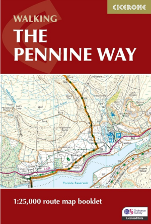
Wandelgids Map Booklet Pennine Way - Cicerone • 9781786311412
Map Booklet Pennine Way - Cicerone Productomschrijving: Map of the 270 miles (435km) Pennine Way National Trail, between Edale in the Peak District and Kirk Yetholm in the Scottish Borders. This booklet is included with the Cicerone guidebook to the trail, and shows the full route on OS 1:25,000 maps. This popular long-distance route typically takes three weeks to complete. Seasons: …

Wandelkaart OL24 Peak District & White Peak area - OS • 9780319263846
Wandelkaart Peak District & White Peak area - OS Productomschrijving: Peak District & White Peak area, Derbyshire England Omvat: Buxton, Bakewell, Matlock & Dove Dale, with parts of the Peak district National Park. Ontdek de OL-serie van Ordnance Survey: De OL-serie (Outdoor Leisure) van Ordnance Survey is dé referentie voor wie gaat wandelen op de Britse eilanden. Deze topograf…

Wandelgids Classic Day Walks in the Peak District - Vertebrate • 9781906148492
Classic Day Walks in the Peak District - Vertebrate Productomschrijving: Day Walks in the Peak District – 20 classic circular routes features 20 circular walks, between 8.1 and 12.1 miles (13km and 19.5km), suitable for hillwalkers of all abilities. Local authors Norman Taylor and Barry Pope share walks in their favourite areas of the Peak District National Park including Chatsworth, Chee …

Wandelgids Peak District Boundary Walk - Vertebrate Publ. • 9781909461536
Peak District Boundary Walk - Vertebrate Productomschrijving: 190 miles around the edge of the National Park To celebrate Britain's first national park, supporters of Friends of the Peak District have devised a 190-mile walking route around its boundary – the Peak District Boundary Walk. Peak District Boundary Walk includes a detailed route description, Ordnance Survey 1:25,000-scale …


