

Wandelgids The Giant's Trail - Cicerone
De Giants' trial of de Alta Via 1 - 180 km door Italiaanse bergen
Korte omschrijving
Wandelgidsen Piemonte, Italië en Valle d’Aosta, Italië van CICERONE Press. Ideaal voor tochten in Italië.
Wandelgids - The Giants' Trail - Ciceorne Press Productomschrijving: De Alta Via 1 in Italië, een pad van 180 km door de Italiaanse Alpen langs de noordelijke flank van de Aosta-vallei, bied...

Specificaties
- Uitgever: CICERONE Press
- ISBN-13: 9781852849924
- HOOFDCATEGORIEËN: Wandelgids
- Activiteiten: Wandelen, Hiking & Trekking
- Auteur: Andy Hodges
- Regio: Piemonte, Italië, Valle d’Aosta, Italië
- Land: Italië
- Lange afstand wandelroutes: The Giants' trail, Italië (180 km)
- Editie: 1
- Taal: Engels
Volledige omschrijving
Wandelgids - The Giants' Trail - Ciceorne Press
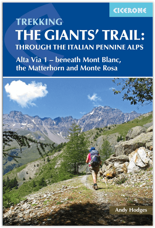
Productomschrijving: De Alta Via 1 in Italië, een pad van 180 km door de Italiaanse Alpen langs de noordelijke flank van de Aosta-vallei, biedt een prachtig uitzicht op de Alpenreuzen: de Mont Blanc, de Matterhorn, de Grand Combin en de Monte Rosa. Inderdaad, het is ook wel bekend als de Giants 'Trail en kan worden gecombineerd met een zusterroute, de Alta Via 2 (bedekt in een aparte Cicerone-gids), die langs de zuidelijke flank van de vallei loopt om de Tor des Geants te vormen. .
Engelse omschrijving: Italy's Alta Via 1, a 180km trail through the Italian Alps following the northern flank of the Aosta Valley, boasts magnificent views of the Alpine giants: Mont Blanc, the Matterhorn, the Grand Combin and Monte Rosa. Indeed, it is sometimes known as the Giants' Trail and can be combined with a sister-route, the Alta Via 2 (covered in a separate Cicerone guide), which runs along the southern flank of the valley, to form the Tor des Geants.
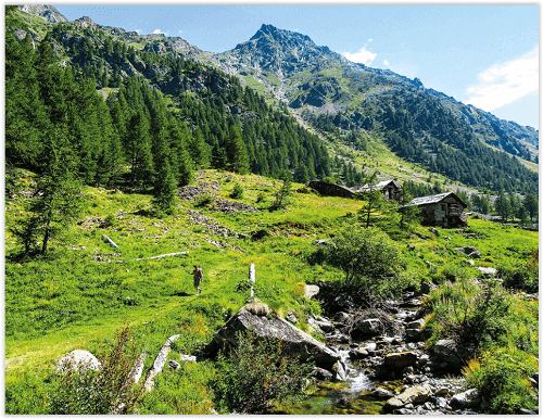
Stretching from Donnas to Courmayeur, the Alta Via 1 offers fantastic alpine walking, with welcoming refuges and small hotels providing overnight accommodation (and great food) along the way.
The guide presents the route in two sections, for the advantage of those who can't spare the full fortnight-plus needed to walk the entire AV1. The trail is described in 16 stages, with alternative stages covering some popular variants, including an optional detour to visit the famed monastery at the Great St Bernard Pass. Each stage includes clear route description and mapping, plus notes on local points of interest and accommodation options. An alternative itinerary, list of useful contacts, kitlist and glossary can be found in the appendices. The AV1 crosses cols of nearly 3000m as it traverses the side-valleys of the main Aosta Valley. Suited to those with some of experience of alpine trekking, the walking is demanding but without technical difficulty. And the rewards are many: quieter huts, breathtaking vistas and a chance to immerse yourself in fabulous mountain landscapes overlooked by soaring, snow-clad giants.

Artikelen uit dezelfde regio
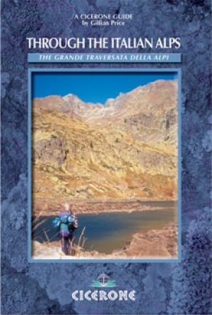
Wandelgids Through the Italian Alps - Cicerone • 9781852844172
Wandelgids - Through the Italian Alps - Cicerone Productomschrijving: Deze handige gids bevat een gedetailleerde routebeschrijving voor de 47-dag Grande Traversata Delle Alpi tochten. De GTA is verdeeld in 4 delen, elk voor 2 weken in de lengte, voor degenen die liever trekken in secties. In totaal bestrijkt hij 663km² met 44,000m van beklimming/afdaling en is geschikt voor diegenen die ov…

Wandelgids Alpes valaisannes 1+2 - SAC • 9783859023475
Wandelgids Alpes valaisannes 1+2 Omvat: Mont Dolent- Grand Combin & Pigne d'Arolla Productomschrijving: Deze hooggebergte gids is gewijd aan de Unter Wallis. Het bevat de veilige en lonende routes op een aanzienlijk aantal grote bergen voor bewoners ten noorden van de Alpen. Hij begint met de massieve uitlopers van de Mont Blanc en eindigt bij de gletsjer-bergen in de buurt van Arolla.…
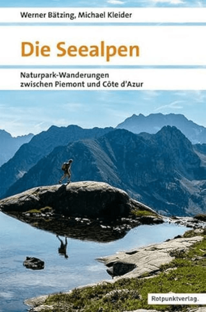
Wanderführer Die Seealpen - Rotpunkt • 9783039730261
Wanderführer Die Seealpen - Rotpunkt Productomschrijving: Die Seealpen, is een Duitstalige wandelgids voor de Zee-Alpen, het ruige berggebied tussen Piëmont en de Côte d’Azur. Deze regio ligt vlak bij de Middellandse Zee, maar voelt verrassend alpien aan: toppen boven 3000 meter, bergmeren, historische paden, berghutten en zelfs de zuidelijkste gletsjers van de Alpen. Het is een wandelgebi…
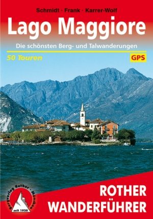
Wandelgids Lago Maggiore- Italiaans Lombardije - Rother • 9783763340194
Wandelgids Lago Maggiore - Lombardije - Rother Productomschrijving: Het Lago Maggiore is een meer in het grensgebied van Italië en Zwitserland. Het wordt in het Italiaans ook wel Lago Verbano genoemd, van Lacus Verbanus, de oude Romeinse benaming. Het Zwitserse deel ligt in het kanton Ticino. De westelijke oever van het Italiaanse deel ligt in de regio Piëmonte, de oostelijke oever in Lomb…
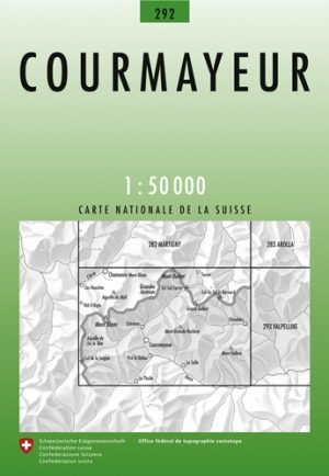
Wandelkaart 292 Courmayeur Valle d'Aoste - Swisstopo • 9783302002927
Wandelkaart Courmayeur - Valle d'Aoste Italië - Swisstopo Productomschrijving: Courmayeur is een plaats met bijbehorende gemeente in de Italiaanse provincie Valle d'Aosta. De gemeente omvat de dalen Val Ferret en Val Veny die langs het Mont Blancmassief lopen. Waar de rivieren uit de twee dalen, de Dora di Ferret en de Dora di Veny, samenkomen, bij Entrèves ontstaat de Dora Baltea, de hoof…