

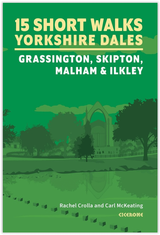
Wandelgids 15 Short Walks in the Yorkshire Dales – Cicerone
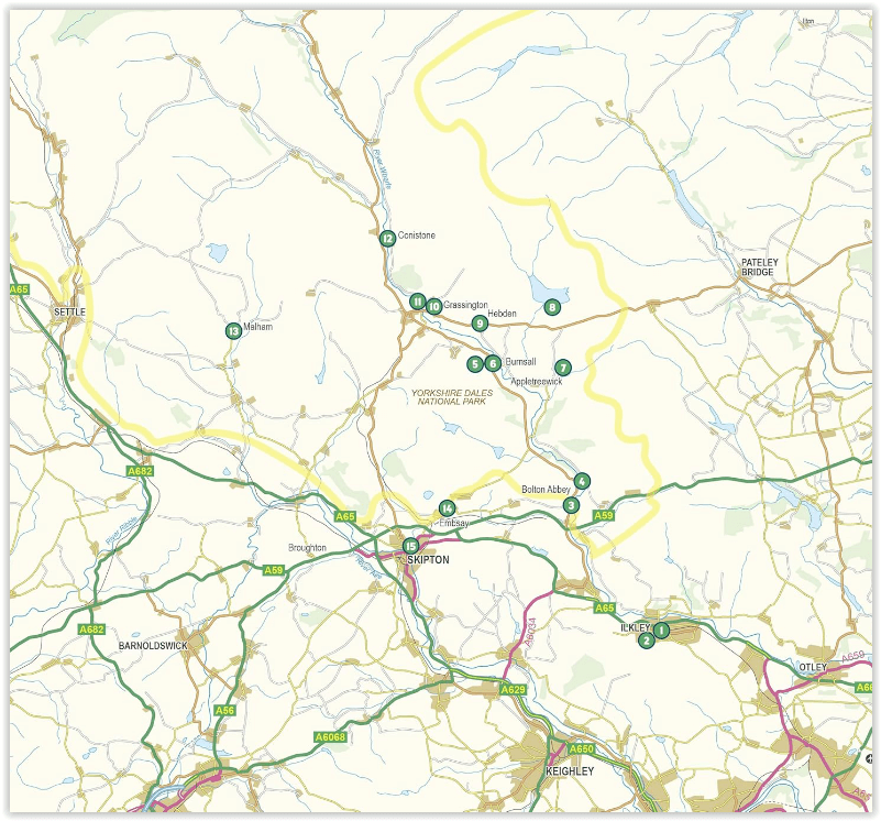
Grassington- Skipton- Malham- Ilkley
Korte omschrijving
Wandelgidsen Yorkshire, England van CICERONE Press. Ideaal voor tochten in England.
15 Short Walks in the Yorkshire Dales – Cicerone Productomschrijving: Would you like to explore the best of Grassington, Skipton, Malham and Ilkley? This guidebook covers 15 of the best sho...

Specificaties
- Uitgever: CICERONE Press
- ISBN-13: 9781786312327
- HOOFDCATEGORIEËN: Wandelgids
- Activiteiten: Wandelen, Hiking & Trekking
- Regio: Yorkshire, England
- Land: England
- Nationale parken: Yorkshire Dales NP, England
- Editie: 1
- Taal: Engels
- De Engelse Graafschappen: Yorkshire
Volledige omschrijving
15 Short Walks in the Yorkshire Dales – Cicerone
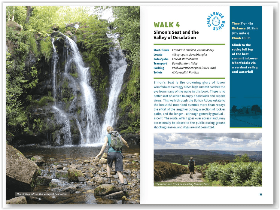
Productomschrijving: Would you like to explore the best of Grassington, Skipton, Malham and Ilkley? This guidebook covers 15 of the best short walks in the Yorkshire Dales (all under three hours), including Bolton Abbey, Malham Cove, Gordale Scar, Ilkley Moor, the Cow and Calf rocks, Grassington lead mines and Trollers Gill.
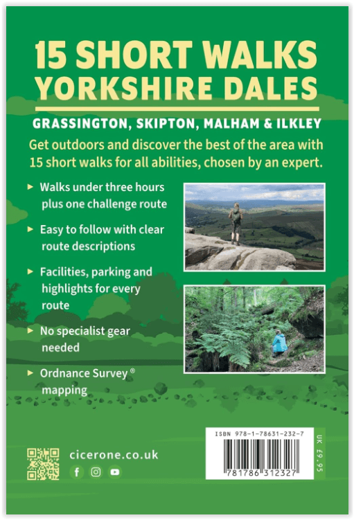
Why choose this guidebook?
- Easy to moderate walks suitable for almost everyone
- Short climbs but no challenging terrain
- Numbered points which tie OS maps to clear route description
- Facilities, parking and highlights for every route
- Route Summary Table to help you choose your walk
Cicerone’s Short Walks guidebooks contain everything you need to get outdoors and discover the best of an area. The routes are perfect if you’re new to walking or looking for something you can enjoy with the whole family. Let the adventures begin!
Artikelen uit dezelfde regio
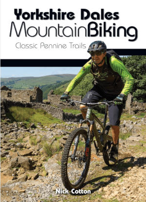
Fietsgids Yorkshire Dales Mountain Biking - Vertebrate Publ. • 9781912560066
Yorkshire Dales Mountain Biking - Vertebrate Productomschrijving: Classic Pennine Trails Yorkshire Dales Mountain Biking by Nick Cotton features 26 rides in one of the UK’s most MTB-friendly national parks. Includes rides around Swaledale, Ingleborough, Whernside and Pen-y-ghent. Each ride is described with easy-to-follow directions and is plotted on clear and easy to use Ordnance Sur…
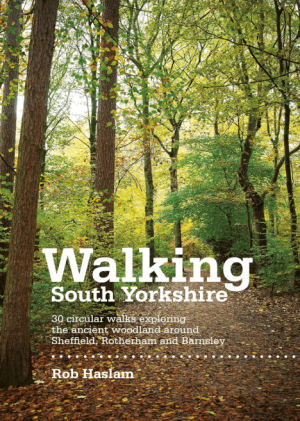
Wandelgids Walking South Yorkshire 30 circular walks - Vertebrate • 9781906148218
Walking South Yorkshire 30 circular walks - Vertebrate Productomschrijving: 30 circular walks exploring the ancient woodland around Sheffield, Rotherham and Barnsley. Walking South Yorkshire by Rob Haslam is a collection of 30 circular walks of South Yorkshire, between 2 and 8 miles (3 and 13 km) in length, that explore the ancient woodland and rural visitor attractions around Sheffiel…

Wandelkaart 298 Nidderdale AONB- Yorkshire - OSI • 9780319245507
Wandelkaart Nidderdale AONB - Yorkshire England Omvat ook: Fountains Abbey, Ripon & Pateley Bridge Productomschrijving: Kaart nummer 298 in de OS Explorer kaarten serie heeft een oppervlakte van North Yorkshire rond Nidderdale. De Nidderdale way en Ripon Rowel lopen door dit pittoreske gebied, die ook een deel van het Yorkshire Dales National Park heeft. Hoogtepunten van het gebied zij…
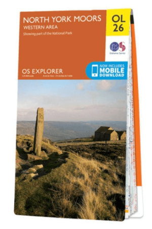
Wandelkaart OL26 North York Moors Western area - OS • 9780319242650
Wandelkaart North York Moors, Western area - OS Productomschrijving: Een topografische wandelkaart van het westerse deel van het North York Moors National Park. Omvat: Het Howardian Hills AONB gebied, deel van het nationale park van de North York Moors, Tees Forest Community Forest, The Cleveland Street Walk, Cleveland Way, E2 European long distance Path, Ebor Way, England Coast PAth, …
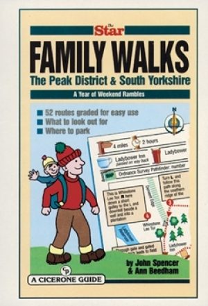
Wandelgids Peak District & South Yorkshire - Cicerone • 9781852842574
Wandelgids - Peak District & South Yorkshire - Cicerone Productomschrijving: Een gids naar 52 korte circulaire wandelingen in het Peak District en Zuid-Yorkshire, in Noord-Engeland, aangepast door plaatselijke Sheffield krant "The Star Weekend walking kolom". Routes zijn 2 tot 3 uur lang, dus ideaal voor gezinnen. Winnaar van de beste gids van COLA/OWG 1998. Allemaal binnen een uur van She…