

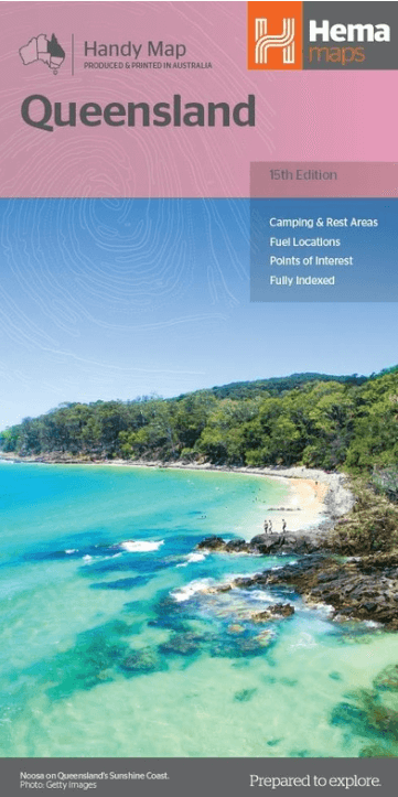
Landkaart Wegenkaart Queensland state handy - Hema
Queensland Australia
Korte omschrijving
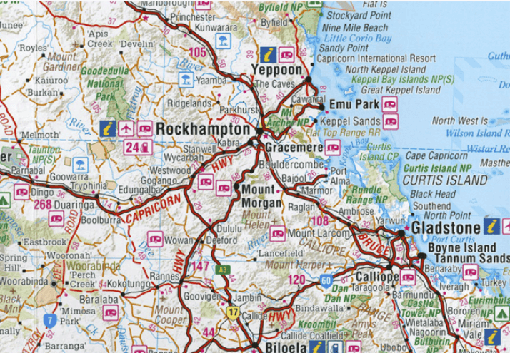
Wegenkaart Queensland state handy - Hema Productomschrijving: A compact map of Queensland (QLD) at a scale of 1:2,500,000 for touring throughout the state which features highways, major roa...

Specificaties
- Uitgever: Hema Maps
- ISBN-13: 9781922668776
- HOOFDCATEGORIEËN: Wegenkaart - Landkaart
- Activiteiten: Street/Road maps & city plans
- Regio: Queensland, Noord-Oost Australië
- Land: Australië
- Schaal: 1:2500000
- Editie: 15
- Taal: Engels
- Reeks/Serie:: State Handy Maps, Hema
Volledige omschrijving
Wegenkaart Queensland state handy - Hema
Productomschrijving: A compact map of Queensland (QLD) at a scale of 1:2,500,000 for touring throughout the state which features highways, major roads and minor roads. Marked on the map are national parks, camping areas, caravan parks, rest areas, points of interest and 24-hour fuel accompanied by a distance grid and an index.
Artikelen uit dezelfde regio

Wegenatlas Cape York Atlas & Guide - Hema Maps • 9781876413439
Wegenatlas Cape York Atlas & Guide - Hema Productomschrijving: Hema Maps’ Cape York Atlas & Guide helps you make the most of your visit to this remarkable part of Australia. With detailed coverage of The Tip, the coast from the Cairns region to Cooktown, Rinyirru (Lakefield) National Park, the Peninsula Developmental Road, Old Telegraph Track, Torres Strait and the Savannah Way, it en…

Wegenatlas K'gari (Fraser Island) & the Brisbane Islands - Hema • 9781922668820
K'gari (Fraser Island) & the Brisbane Islands - Hema Productomschrijving: K'gari (Fraser Island) Atlas & Guide (incorporating Moreton, North & South Stradbroke and Bribie Islands) - your ultimate companion for immersing yourself in the captivating wonders of K'gari, as well as the stunning neighboring islands of Moreton, North Stradbroke, South Stradbroke, and Bribie. Introducing the …
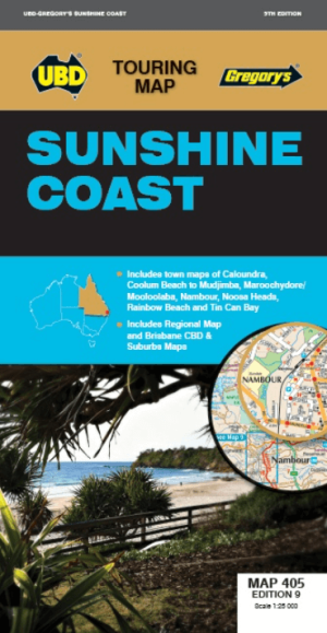
Landkaart Wegenkaart 405 Sunshine Coast Queensland- UBD Gregory's • 9780731932825
Wegenkaart Sunshine Coast Queensland- UBD Gregory's Productomschrijving: Sunshine Coast regional map at a scale of 1 : 171 950 & index covering along the coast from Inskip Peninsula in the north to Caloundra & Toorbul in the south, Wonga Lower in the west and Noosa Heads & Caloundra in the east. - Street level mapping at a scale of 1 : 25 000 with coverage for Caloundra & surrounding …
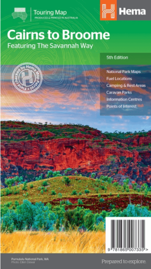
Landkaart Wegenkaart Savannah Way Cairns to Broome - Hema Maps • 9781865007335
Wegenkaart Savannah Way, Cairns to Broome - Hema Productomschrijving: A touring map for the trip along the Savannah Way between Cairns and Broome at a scale of 1:2,200,000. The maps show 24-hour fuel, outback fuel and LPG as well as caravan parks, camping areas and rest areas. Popular national parks along the route are featured with detailed inset maps of Judbarra/Gregory, Purnululu, …
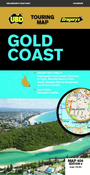
Landkaart Wegenkaart 404 Gold Coast Queensland - UBD Gregory's • 9780731932023
Wegenkaart Gold Coast Queensland - UBD Gregory's Productomschrijving: Gold Coast region map at a scale of 1 : 160 000 covering along the coast from South Stradbroke Island in the north to Bogangar NSW in the south & Beaudesert in the west, Beenleigh in the north & Murwillumbah NSW in the south. - Region map at a scale of 1 : 450 000 covering along the coast from Sandgate in the north t…