

Landkaart Wegenkaart 3204 Zuid-Afrika - Nat Geo
The Northern Cape - Western Cape - Eastern Cape


Korte omschrijving
Wegenkaart Zuid-Afrika - Nat Geo Productomschrijving: National Geographic's South Africa Adventure Map provides global travelers with the perfect combination of detail and perspective in a ...

Specificaties
- Uitgever: National Geographic
- ISBN-13: 9781566955317
- HOOFDCATEGORIEËN: Wegenkaart - Landkaart
- Activiteiten: Street/Road maps & city plans
- Auteur: National Geographic
- Regio: Zuid Afrika
- Land: Zuid-Afrika
- Waterafstotende kaart: Nat Geo waterproof series
- TOPO's & Stafkaarten: Topografisch wandelen
- Schaal: 1:1550000
- Taal: Engels
- Reeks/Serie: NAT GEO Adventure travel maps
Volledige omschrijving
Wegenkaart Zuid-Afrika - Nat Geo
Productomschrijving: National Geographic's South Africa Adventure Map provides global travelers with the perfect combination of detail and perspective in a highly functional travel tool. Hundreds of points of interest that highlight the diverse, unique, and exotic destinations within the country such as National parks and reserves, Sanctuaries, World Heritage sites, Archeological sites, and museums are noted.
Along the coast between Cape Town (the legislative capital) and Port Elizabeth, areas for whale watching and shark-cage diving are noted. Dozens of beaches are noted from the Sunshine Coast to the North Coast for travelers wishing to soak up some sun.
The map includes the locations of cities and towns with a user-friendly index, plus a clearly marked road network complete with distances and designations for major highways, main roads, and tracks and trails for those seeking to explore more remote regions. Important travel aids like airports, airfields, rail lines, ferry routes, and lighthouses are included as well.
The west side of the South Africa map includes the Northern Cape, Western Cape, Eastern Cape, and portions of the North West and Free State provinces. Johannesburg and neighboring city Pretoria (administrative capital) are included on the east side of the map along with Bloemfontein (judicial capital) and the coastal city of Durban.
Every Adventure Map is printed on durable synthetic paper, making them waterproof, tear-resistant and tough — capable of withstanding the rigors of international travel.
Artikelen uit dezelfde regio

Reisgids Namibië Insight Guides NED - APA Publications • 9789083097664
Reisgids Namibië - APA Publ. Nederlandse Versie! Productomschrijving: Namibië heeft de moderne ontdekkingsreiziger veel te bieden, zoals de buitengewoon mooie flora en fauna, spectaculaire berggebieden, prachtige wildreservaten en interessante bevolkingsgroepen. De auteurs en fotografen laten u op de bekende, onovertroffen en veelvuldig bekroonde Insight Guide-wijze in woord en be…
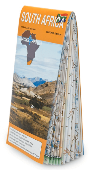
Landkaart Wegenkaart Zuid-Afrika 100 incl. Lesotho & Swaziland • 9780994720801
Wegenkaart Zuid-Afrika - Tracks4Afrika Productomschrijving: Kenmerkend voor deze kaart is de combinatie van geografische informatie en GPS verwijzingen, ideaal voor 4x4 routes. Verder bevat de kaart een plaatsnamenregister, aparte kaartjes van de Nationale parken en stadsplannen van de belangrijkste steden uit de regio. Deze kaart bied u het perfecte instrument om uw volgende reis te p…

Wandelkaart Afrika Zuid-Afrika - 98 x 130 - Tracks-4-Afrika • 9780620907293
Wandelkaart Afrika Zuid-Afrika - Slingsby Productomschrijving: The Tracks4Africa Wall Map is printed to a scale of 1:4million and laminated on both sides and provides a surprising amount of detail to the self-drive traveller. The map is perfect for macro planning of extended road trips across the African continent up to Ethiopia in the east and Gabon in west. The map indicates major and s…
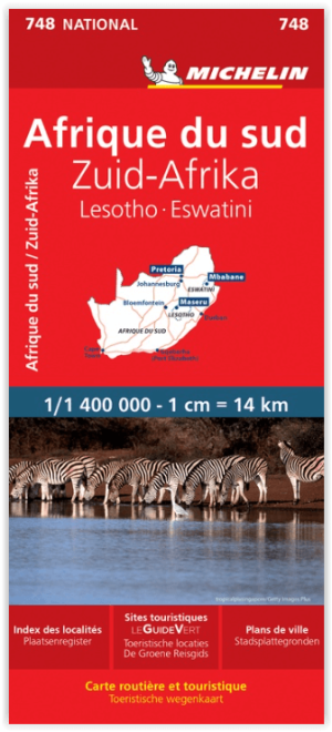
Landkaart Wegenkaart 748 Zuid-Afrika - Michelin • 9782067228986
Wegenkaart Zuid-Afrika - Michelin Productomschrijving: Deze Nationale kaart van Zuid Afrika, werd ontwikkeld, om zich snel uit de voeten wil maken, met plaatsnamenindex, en toeristische informatie, geven u alle elementen om dat werkelijkheid te maken. De kaarten zijn gemakkelijk leesbaar en gedrukt op sterk papier. De rode Michelin wegenkaarten met schaal 1:300.000 zijn dé betrouwbare …
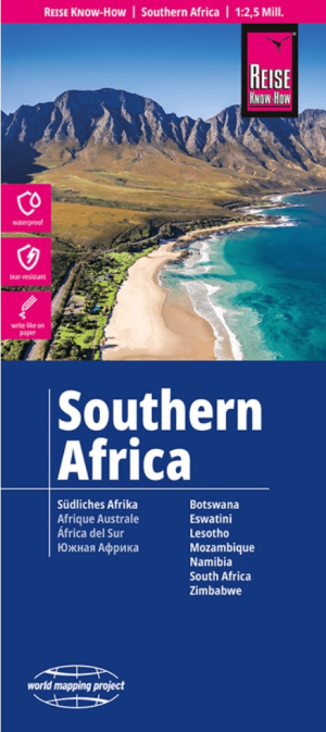
Landkaart Wegenkaart Zuidelijk Afrika - Reise Know-How • 9783831775347
Wegenkaart Zuidelijk Afrika - Reise Know-How Productomschrijving: De Reise Know-How wegenkaart van Zuidelijk Afrika is een betrouwbare, gedetailleerde en duurzame landkaart voor wie Afrika Zuidelijk zelfstandig wil verkennen. Deze hoogwaardige reiskaart is ideaal voor gebruik tijdens een rondreis met de auto, camper, motor of fiets en biedt alle informatie die je nodig hebt voor een zorgel…