

Wandelkaart 2035 SB Terrasson-Lavilledieu - IGN
Omvat eveneens Montignac & Grotte de Lascaux

Korte omschrijving
Wandelkaarten Nouvelle-Aquitaine, Frankrijk van Institut Géographique National. Ideaal voor tochten in Frankrijk.
Wandelkaart 2035 SB - Terrasson-Lavilledieu Productomschrijving: Terrasson-Lavilledieu is een gemeente in het Franse departement Dordogne in de regio Nouvelle-Aquitaine. De plaats maakt dee...

Specificaties
- Uitgever: Institut Géographique National
- ISBN-13: 9782758548300
- HOOFDCATEGORIEËN: Wandelkaart
- Activiteiten: Wandelen, Hiking & Trekking
- Regio: Nouvelle-Aquitaine, Frankrijk
- Land: Frankrijk
- Departement: Dordogne (24)
- Schaal: 1:25000
- Editie: 1
- Taal: Frans
- Reeks/Serie: IGN France > TOP25 Randoo / Série Bleue
Volledige omschrijving
Wandelkaart 2035 SB - Terrasson-Lavilledieu
Productomschrijving: Terrasson-Lavilledieu is een gemeente in het Franse departement Dordogne in de regio Nouvelle-Aquitaine. De plaats maakt deel uit van het arrondissement Sarlat-la-Canéda.
Desciptive produits: Une nouvelle cartographie pour une lisibilité optimale, avec une meilleure précision géométrique et des informations touristiques enrichies. Un nouveau format deux fois plus grand : le format des nouvelles SERIE BLEUE est équivalent à celui des TOP 25 et le nombre de références sera ainsi divisé par 2. Pour la plupart des cartes, la zone couverte correspond à l’assemblage des anciennes SERIE BLEUE Est et Ouest.
Locatie op kaart
Artikelen uit dezelfde regio
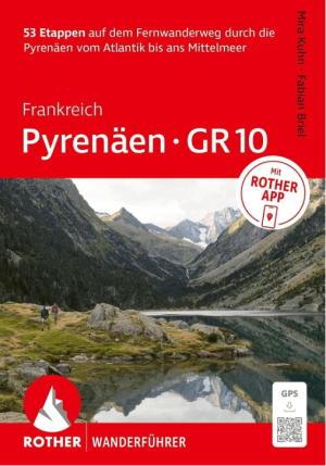
Wandelgids Pyrenäen-GR10 Frankreich - Rother • 9783763315505
Wandelgids Pyrenäen-GR10 Frankreich - Rother Bergverlag Productomschrijving: De wandelgids Pyrenäen – GR 10 beschrijft de volledige oversteek van de Franse Pyreneeën, van de Atlantische kust bij Hendaye tot de Middellandse Zee in Banyuls-sur-Mer. De ongeveer 920 kilometer lange GR 10 is verdeeld over 53 overzichtelijke etappes en blijft vrijwel volledig aan de Franse zijde van het gebergte…
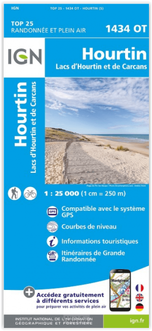
Wandelkaart 1434 OT Hourtin & Lacs d'Hourtin et de Carcans - IGN • 9782758551423
Wandelkaart 1434 OT- Hourtin & Lacs d'Hourtin et de Carcans Productomschrijving: Hourtin is een gemeente in het Franse departement Gironde in de regio Nouvelle-Aquitaine. De plaats maakt deel uit van het arrondissement Lesparre-Médoc. De omgeving is eveneens de plaats van het meer van Hourtin en Carcans. Elk jaar opnieuw een gezellige vakantie plaats De TOP 25-serie is de cartografisc…

Wandelgids Ile de Ré & Ile de l'Oléron à pied - Chamina • 9782844661586
Wandelgids - Ile de Ré & Ile d'Oléron à pied - Chamina Productomschrijving: De mooiste streng geselecteerde wandeltochten, samen gecombineerd in één gids, met pagina's gewijd aan de ontdekking van het erfgoed, met gedetailleerde beschrijvingen en gemakkelijk-leesbare kaarten. Franse omschrijving: Les plus belles randonnées, issues d'une sélection rigoureuse, réunies en un seul ouvrage …
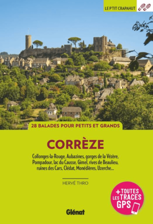
Wandelgids Corrèze, Massif Central France - Ed. Glénat • 9782344071885
Wandelgids Corrèze, Massif Central - Ed. Glénat Productomschrijving: 28 randonnées pour tous les niveaux dans la nature unique et les villages emblématiques du département nouvel-aquitain. 28 randonnées pour tous les niveaux dans la nature unique et les villages emblématiques du département nouvel-aquitain. La Corrèze est la destination touristique idéale pour tous celles et ceux q…

Wandelkaart Mini - 1244 OT - Biarritz- Hendaye & La Rhune • 9782758551027
Wandelkaart MINI - Biarritz- Hendaye & La Rhune - IGN Productomschrijving: Deze essentiële wandelkaart & topografische kaarten van zeer hoge kwaliteit, en bevatten alle details die op de grond aanwezig zijn, van wandelroutes tot aan het smalste paden, zonder de weergave van het reliëf te vergeten. Op de TOP25 staan gemarkeerde wandelroutes en toeristische informatie. Franse omschrijvin…