

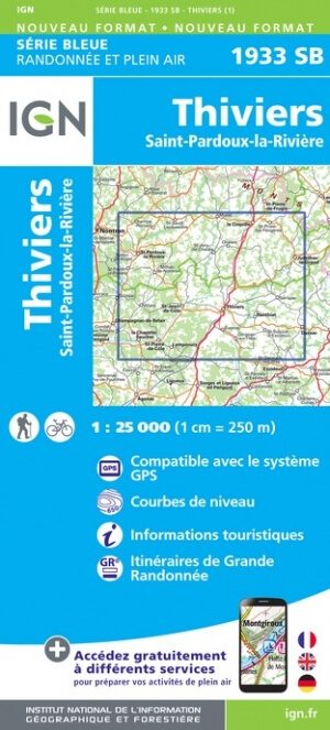
Wandelkaart 1933 SB Thiviers & Saint-Pardoux-la-Rivière - IGN
Thiviers & Saint-Pardoux-la-Rivière zijn gelegen in de Dordogne
Korte omschrijving
Wandelkaarten Nouvelle-Aquitaine, Frankrijk van Institut Géographique National. Ideaal voor tochten in Frankrijk.
Wandelkaart 1933 SB - Thiviers & Saint-Pardoux-la-Rivière Productomschrijving: Thiviers & Saint-Pardoux-la-Rivière zijn gemeentes in het arrondissement Nontron in het Franse departement Dord...

Specificaties
- Uitgever: Institut Géographique National
- ISBN-13: 9782758548218
- Activiteiten: Wandelen, Hiking & Trekking
- Regio: Nouvelle-Aquitaine, Frankrijk
- Land: Frankrijk
- Departement: Dordogne (24)
- Schaal: 1:25000
- Editie: 1
- Taal: Frans
- Reeks/Serie: IGN France > TOP25 Randoo / Série Bleue
Volledige omschrijving
Wandelkaart 1933 SB - Thiviers & Saint-Pardoux-la-Rivière
Productomschrijving: Thiviers & Saint-Pardoux-la-Rivière zijn gemeentes in het arrondissement Nontron in het Franse departement Dordogne in de regio Nouvelle-Aquitaine in Zuidwest-Frankrijk.
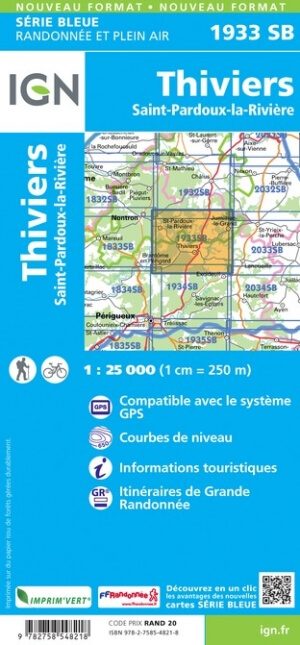
Tussen 2014 en 2020 vernieuwt IGN haar volledige collectie serie blauw. Een nieuwe toewijzing voor optimale leesbaarheid, met een grotere mate van geometrische nauwkeurigheid en verrijkte toeristische informatie. Het formaat van de nieuwe serie blauw is gelijk aan die van de TOP 25 en het aantal verwijzingen wordt dus gedeeld door 2. het zijn puur topografische kaarten, maar zoals gezegd bijzonder gedetailleerd.
Locatie op kaart
Artikelen uit dezelfde regio
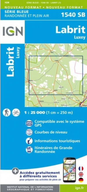
Wandelkaart 1540 SB Labrit & Luxey - IGN • 9782758541257
Wandelkaart 1540 SB - Labrit & Luxey - Nieuwe versie Productomschrijving: Labrit is een gemeente in het Franse departement Landes in de regio Nouvelle-Aquitaine. De plaats maakt deel uit van het arrondissement Mont-de-Marsan. Een gloed nieuwe reeks IGN kaarten: de oude versies met de Est en Ouest (E en O aanduiding achter het nummer van de kaart) verdwijnen en worden vervangen door SB …

Wandelgids Le Charente à pied - Ed. Chamina • 9782844664082
Wandelgids - Le Charente à pied - Ed. Chamina Productomschrijving: Het departement van de Charente is uitgebreid. Het westen bestaat uit graan gewassen en de wijngaarden van de Cognac. Naar het Oosten ligt de Charente limousine aan de rand van de groene Périgord, de laatste uitlopers van het Centraal Massief. In het westen ligt Ruffec in Barbezieux, van Cognac en Angoulême, waar ze de taal…
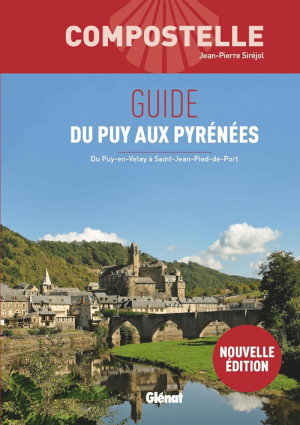
Wandelgids Le Puy-en-Valay aux Pyrénées - Ed. Glénat • 9782344073445
Wandelgids Le Puy-en-Valay aux Pyrénées - Glénat Productomschrijving: Le Chemin du Puy-en-Valay. La Via Podiensis. Autrement dit, le chemin de pèlerinage vers Compostelle le plus fréquenté de l'hexagone. Sans doute parce qu'il dispense plus (ou mieux) que les autres une réelle richesse procédant de sa diversité tant géographique que patrimoniale. Parce que la communion avec soi, avec les a…
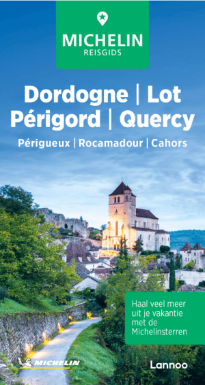
Reisgids Dordogne- Lot & Périgord - Michelin Lannoo • 9789401498593
Reisgids Dordogne- Lot & Périgord - Michelin Productomschrijving: De Groene Reisgids - Dordogne/Lot/Périgord Haal meer uit uw vakantie met de Michelin-sterren! De serie Groene Reisgidsen van Michelin is een beproefde en betrouwbare reisgidsenreeks. Of u nu lekker lang met vakantie gaat of er zomaar even tussenuit trekt, de Groene Reisgids wijst u de weg naar alle bijzonderheden die u…

Wandelkaart 1344 SB Peyrehorade & Hasparren - IGN • 9782758541103
Wandelkaart 1344 SB - Peyrehorade & Hasparren Productomschrijving: Peyrehorade & Hasparren zijn gemeentes in het Franse departement Landes in de regio Nouvelle-Aquitaine. De plaats maakt deel uit van het arrondissement Dax. Een gloed nieuwe reeks IGN kaarten: de oude versies met de Est en Ouest (E en O aanduiding achter het nummer van de kaart) verdwijnen en worden vervangen door SB na…