

Wandelgids Park Rangers Favourite Walks Yorkshire Dales - Collins
20 best routes chosen and written by National Park rangers

Korte omschrijving
Wandelgidsen Yorkshire Dales en Yorkshire, England van HarperCollins Publishers. Ideaal voor tochten in England.
Park Rangers Favourite Walks Yorkshire Dales - Collins Productomschrijving: Wandelgids voor het Yorkshire Dales National Park, met 20 beste routes uitgekozen door de parkwachters. Elke wande...

Specificaties
- Uitgever: HarperCollins Publishers
- ISBN-13: 9780008462659
- HOOFDCATEGORIEËN: Wandelgids
- Activiteiten: Wandelen, Hiking & Trekking
- Regio: Yorkshire Dales, Yorkshire, England
- Land: England
- Nationale parken: Yorkshire Dales NP, England
- Taal: Engels
- Reeks/Serie: Park Rangers Favourite Walks, HarperCollins
- De Engelse Graafschappen: Yorkshire
Volledige omschrijving
Park Rangers Favourite Walks Yorkshire Dales - Collins
Productomschrijving: Wandelgids voor het Yorkshire Dales National Park, met 20 beste routes uitgekozen door de parkwachters. Elke wandeling varieert in lengte van 2 tot 10 km en kan in minder dan 4 uur worden afgelegd.
Engelse omschrijving: Walking guide to the Yorkshire Dales National Park, with 20 best routes chosen by the park rangers. Each walk varies in length from 2 to 10 km and can be completed in less than 4 hours.
- Walks from 2 to 10km
- Detailed description for each walk with highlights clearly marked on the map along with an accompanying map and photographs
- General information about the National Park plus basic advice on walking
Locatie op kaart
Artikelen uit dezelfde regio
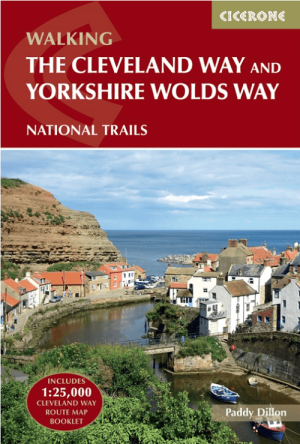
Wandelgids The Cleveland Way & Yorkshire Wolds Way - CIcerone • 9781786312211
Wandelgids The Cleveland Way & Yorkshire Wolds Way - CIcerone Productomschrijving: De vernieuwede wandelgids over de Cleveland Way en Yorkshire Wolds Way National Trails, plus de Tabular Hills Walk. De drie routes lopen door het North York Moors National Park, langs de kust en op het rustige platteland en kunnen worden samengevoegd tot een gemakkelijke rondwandeling van meer dan 400 km. In…

Wandelgids The Cleveland Way - Rucksack Readers • 9781898481973
Wandelgids Cleveland Way - Rucksack Readers Productomschrijving: De Cleveland Way is één van de oudste en meest geliefde National Trails van Engeland. De route loopt over een afstand van 174 km rond het North York Moors National Park en begint in het binnenland bij Helmsley, met een panoramisch uitzicht over de valleien van York en Mowbray en vanaf de Cleveland Hills. Na de kust bij Saltb…

Wandelgids Nidderdale short walks - Cicerone • 9781786311542
Nidderdale short walks - Cicerone Productomschrijving: Jon Fallis heeft 15 van de beste korte wandelingen rond Nidderdale in de Yorkshire Dales voor u uitgezocht. Onze gids is voorzien van goed leesbare Ordnance Survey-kaarten en duidelijke routebeschrijvingen, perfect als u voor het eerst gaat wandelen of iets zoekt waar u met het hele gezin van kunt genieten. We hebben informatie opgenom…
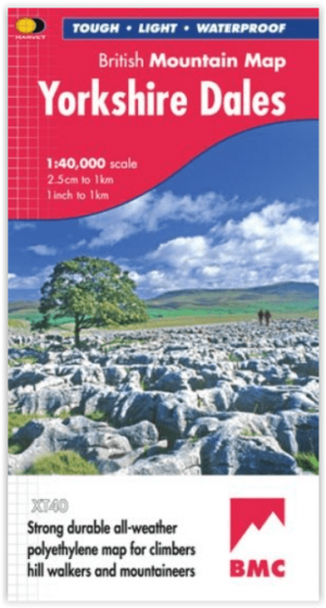
Wandelkaart Yorkshire Dales NP - Harvey Maps • 9781851376551
Wandelkaart Yorkshire Dales NP - British Mountain Maps Productomschrijving: Een enorm gebied op één kaart. Yorkshire Dales National Park - de nieuwste toevoeging aan de British Mountain Map serie - is de zesde titel in deze zeer succesvolle en innovatieve serie. Het is de enige echt gedetailleerde kaart die dit hele gebied op één blad dekt. Alan Hinkes OBE zei: "Ik heb overal in de Yorksh…

Wandelgids Mountain Walks Yorkshire Dales NP 3 Peaks - Vertebrate • 9781839812248
Mountain Walks Yorkshire Three Peaks - Vertebrate Productomschrijving: 15 routes to enjoy on and around Pen-y-ghent, Ingleborough and Whernside Mountain Walks Yorkshire Three Peaks by Hannah Collingridge is a guide to walking routes on and around Pen-y-ghent, Ingleborough and Whernside in the Yorkshire Dales National Park. Features Ordnance Survey 1:25,000 maps. Alongside the routes to…