

Wandelgids Day Walks in Snowdonia NP - Vertebrate Publ.
20 circular routes in Snowdonia North Wales

Korte omschrijving
Wandelgidsen North Wales van Vertebrate Publishing. Ideaal voor tochten in Wales.
Day Walks in Snowdonia NP - Vertebrate Productomschrijving: 20 circular routes in North Wales. Day Walks in Snowdoniaby Tom Hutton showcases 20 circular routes, between 5.5 and 12 miles...

Specificaties
- Uitgever: Vertebrate Publishing
- ISBN-13: 9781906148416
- HOOFDCATEGORIEËN: Wandelgids
- Activiteiten: Wandelen, Hiking & Trekking
- Auteur: Tom Hutton
- Regio: North Wales
- Land: Wales
- Nationale parken: Snowdonia NP, Wales UK
- Taal: Engels
- Reeks/Serie: Day walks in, vertebrate Publishing
Volledige omschrijving
Day Walks in Snowdonia NP - Vertebrate
Productomschrijving: 20 circular routes in North Wales.
Day Walks in Snowdoniaby Tom Hutton showcases 20 circular routes, between 5.5 and 12 miles (9km and 19km) in length, suitable for hillwalkers of all abilities. Also included are two of the UK's classic scrambles: The Bochlwyd Horseshoe and The Snowdon Horseshoe. Each route is described with easy-to-follow directions and Ordnance Survey mapping.
The routes are split into three areas – Northern Snowdonia, Central Snowdonia and Southern Snowdonia – and include walks to the most iconic and beautiful peaks in the National Park, including; Snowdon, Y Glyderau, the Carneddau peaks, Moel Siabod, Cnicht, the Rhinogs, and Cadair Idris. The author of this guidebook, Tom Hutton, is a Wales local, keen hillwalker and outdoors journalist. Each route in this guide is described with easy-to-follow directions and details of distance, navigation information, refreshment stops and public transport information, and is plotted on clear and easy to use Ordnance Survey 1:25,000 mapping. Also included is a detailed Appendix.


Artikelen uit dezelfde regio

Wandelkaart 263 Anglesey East- North Wales - OSI • 9780319471357
Wandelkaart Anglesey East, North Wales (9780319471357) OSI Omvat ook: Beaumaris, Amlwch & Menai Bridge. Productbeschrijving: Kaart nummer 263 in de OS Explorer kaarten reeks heeft betrekking op het oosten van de Isle of Anglesey, Bangor, Beaumaris, Amlwch en Menai Bridge. Hoogtepunten van het gebied zijn onder meer: Caernarfon, Menai Straight, Cefni Reservoir, Anglesey AONB, Puffin eil…
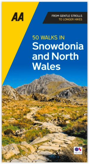
Wandelgids Snowdonia NP & North Wales - 50 walks guide - AA Publ. • 9780749583279
Snowdonia NP & North Wales - 50 walks guide - AA Publishing Productomschrijving: Wandelen is een van de favoriete vrijetijdsbestedingen van Groot-Brittannië en deze AA gids - 50 wandelingen in Snowdonia & Noord-Wales bevat een verscheidenheid aan uitgestippelde wandelingen van 3 tot 10 km, geschikt voor alle niveaus. Het boek bevat alle praktische details die u nodig heeft, vergezeld van f…

Wandelkaart 262 Anglesey West North Wales - OSI • 9780319471340
Wandelkaart Anglesey West - North Wales Omvat ook: Holyhead. Productbeschrijving: Kaart nummer 262 in de OS Explorer kaarten reeks heeft betrekking op het westen van het eiland van Anglesey (Ynys Mon) met inbegrip van Holyhead (Caergbyi). Hoogtepunten van het gebied zijn onder meer: Holy Island (Ynys Gybi), Holyhead bay, Llyn Alaw, Wylfa Head en Carmel Head. De OS Explorer kaart voor A…
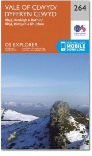
Wandelkaart 264 Vale of Clwyd & Dyffryn Clwyd - OSI • 9780319471364
Wandelkaart Vale of Clwyd & Dyffryn Clwyd - Wales Omvat ook: Rhyl, Denbigh & Ruthin. Productbeschrijving: Vanaf de kust stad van Rhyl (Y Rhyl) naar het Clocaenog bos, met OS Explorer kaart kunt 264 kunt u zandstranden ontdekken aan rustige bos routes om te wandelen en te paardrijden. Omvat de "North Wales Path" ,(Llwybr y Gogledd) en Clwydian Way (Taith Clwyd). De OS Explorer kaart voo…

Wandelkaart 125 Bala & Lake Vyrnwy- Gwynedd - OSI • 9780319262238
Wandelkaart Bala & Lake Vyrnwy- Gwynedd Wales - OSI Productbeschrijving: Kaart nummer 125 is een all purpose kaart vol gepakt met informatie om u het gebied te helpen leren kennen. De 204 Landranger-kaarten bestrijken het land. Elke kaart heeft een oppervlakte van 40 km door 40 km (25 mijl door 25 mijl) en zoals andere kaarten van Ordnance Survey, National Grid-vierkanten worden verstrekt…