

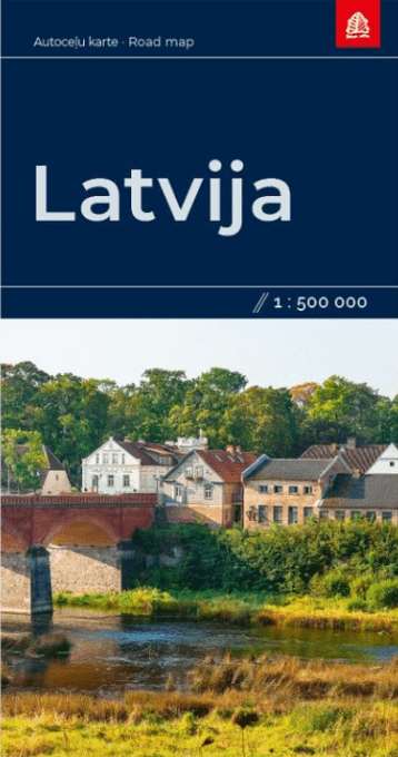
Landkaart en Wegenkaart Letland - Jana Seta Publ.
Riga- Daugavpils- Jelgava- Liepaja- Rezekne- Valmiera
Korte omschrijving
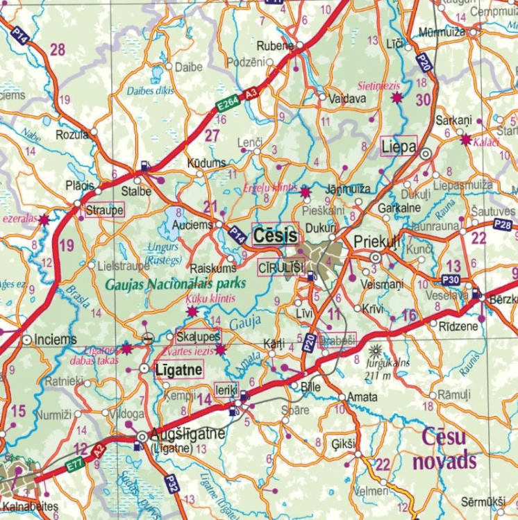
Wegenkaart Letland - Jana Seta Productomschrijving: Wegenkaart Letland Index of populated places, table of distances. Omvat: Riga, Daugavpils, Jelgava, Liepaja, Rezekne, Valmiera and V...

Specificaties
- Uitgever: Jana Seta Map Publishers
- ISBN-13: 9789984074467
- HOOFDCATEGORIEËN: Wegenkaart - Landkaart
- Activiteiten: Street/Road maps & city plans
- Regio: Baltische staten, Europa, Letland, Baltische staten
- Land: Letland, Baltische staten
- Schaal: 1:500000
- Taal: Engels
Volledige omschrijving
Wegenkaart Letland - Jana Seta
Productomschrijving: Wegenkaart Letland
Index of populated places, table of distances.
Omvat: Riga, Daugavpils, Jelgava, Liepaja, Rezekne, Valmiera and Ventspils city plans included.
Locatie op kaart
Artikelen uit dezelfde regio
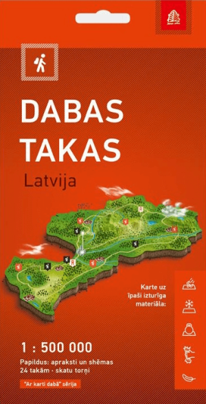
Wandelkaart Dabas Takas, Natuurwandelingen in Letland - Jana Seta • 9789984077437
Wandelkaart Dabas Takas, Natuurwandelingen Letland - Jana Seta Productomschrijving: Toeristische kaart met natuurtochten in Letland. Informatie over de natuurtochten en observatietorens in Letland. Voor 24 bijzonder interessante tochten is er meer informatie met gedetailleerde kaarten. De kaart is gemaakt van een zeer duurzaam synthetisch vezelmateriaal. Ze is waterdicht, on…

Stadskaart Plattegrond Riga Letland - Jana Seta Publ. • 9789984074344
Stadskaart Plattegrond Riga Letland - Jana Seta productomschrijving: Het stadsgebied wordt aan beide zijden van de kaart weergegeven. Veranderingen in openbaar vervoer en wegennet zijn inbegrepen. De kaart wordt aangevuld met de index van straatnamen en de kaart van het stadscentrum in schaal 1:10 000.

Reisgids Rough Guide to Tallinn Estland - Mini Rough Guides • 9781835291849
Reisgids Tallinn Estland - Rough guides Productomschrijving: This mini pocket Tallinn travel guidebook is perfect for travellers looking for essential information about Tallinn. It provides details on key places and main attractions, along with a selection of itineraries, recommendations for restaurants and top tips on how to make the most of your trip. It's sustainably printed to ensure e…

Touristische Landkaart Riga & omgeving - Jan Seta • 9789984077871
Landkaart Riga & omgeving - Jan Seta Productomschrijving: Riga regio tourist map 1:100 000 Toeristische kaart met natuurtochten - Letland. - Informatie over de natuurtochten en observatietorens in Letland. - Voor 24 bijzonder interessante tochten is er meer informatie met gedetailleerde kaarten. De kaart is gemaakt van een zeer duurzaam synthetisch vezelmateriaal. Ze is …
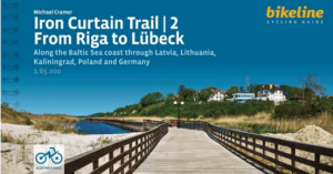
Fietsgids EuroVélo 13 Iron Curtain Trail Baltic Sea - From Riga to Lübeck • 9783711102201
Iron Curtain Trail Baltic Sea - From Riga to Lübeck - Bikeline ENGELSE Versie! Productomschrijving: Deze is het deel van Eurovélo route 13 startend van Riga (Letland) naar Lubeck (Duitsland). De fietsgids bevat alle informatie die je nodig hebt voor je fietsvakantie langs de Europese IJzeren Gordijnroute tussen Riga en Lübeck: nauwkeurige kaarten, een gedetailleerde beschrijving van de…