

Wegenatlas Vidzeme Letland Noord - Jana Seta Publ.
Regionale toeristische atlas Noord-Letland

Korte omschrijving
Wegenatlas Vidzeme Letland Noord - Jana Seta Productomschrijving: In this series have topography shown with colouring and/or graphics for orchards, forests, swamps, etc; boundaries of natio...

Specificaties
- Uitgever: Jana Seta Map Publishers
- ISBN-13: 9789984076508
- HOOFDCATEGORIEËN: Wegenatlas
- Activiteiten: Street/Road maps & city plans
- Regio: Baltische staten, Europa, Vidzeme, Noord-Letland
- Land: Letland, Baltische staten
- Schaal: 1:100000
- Taal: Engels
- Reeks/Serie: Wegenatlassen
Volledige omschrijving
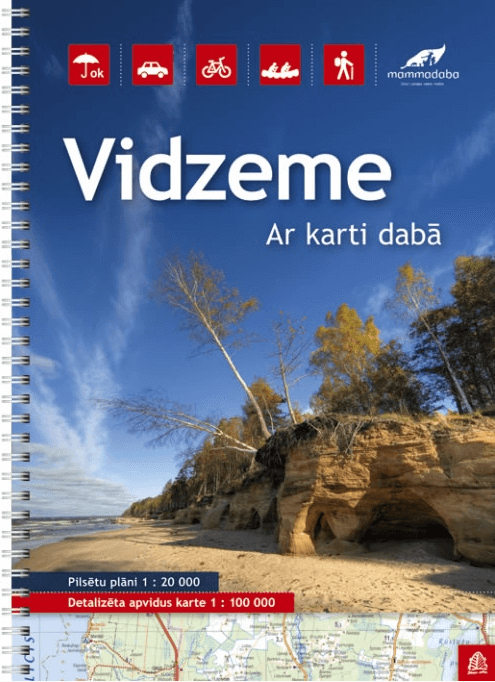
Wegenatlas Vidzeme Letland Noord - Jana Seta
Productomschrijving: In this series have topography shown with colouring and/or graphics for orchards, forests, swamps, etc; boundaries of national parks and other protected area are clearly marked.
The mapping provides a very detail presentation of the road network, from main roads to “difficult to travel” unsurfaced local roads. Locations of petrol stations are marked and driving distances are shown on many local routes. The atlases also show cycling routes. Railway lines are shown with stations. Interesting locations are highlighted and symbols indicate campsites and other tourist accommodation, museums, etc. In each title a selection of best sights is cross-referenced to their descriptions (in Latvian only). The atlases have no indexes. Map legend includes English.
Street plans at 1:20,000, most one or two pages in size, indicate various facilities including hotels, restaurants, petrol stations, etc. Streets are annotated with selected house numbers.
Locatie op kaart
Artikelen uit dezelfde regio

Reisgids Rough Guide to Tallinn Estland - Mini Rough Guides • 9781835291849
Reisgids Tallinn Estland - Rough guides Productomschrijving: This mini pocket Tallinn travel guidebook is perfect for travellers looking for essential information about Tallinn. It provides details on key places and main attractions, along with a selection of itineraries, recommendations for restaurants and top tips on how to make the most of your trip. It's sustainably printed to ensure e…
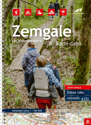
Wegenatlas Zemgale Letland Zuid - Jana Seta Publ. • 9789984077031
Wegenatlas Zemgale Letland Zuid - Jana Seta Productomschrijving: In this series have topography shown with colouring and/or graphics for orchards, forests, swamps, etc; boundaries of national parks and other protected area are clearly marked. The mapping provides a very detail presentation of the road network, from main roads to “difficult to travel” unsurfaced local roads. Locations …

Stadskaart Plattegrond Riga Letland - Jana Seta Publ. • 9789984074344
Stadskaart Plattegrond Riga Letland - Jana Seta productomschrijving: Het stadsgebied wordt aan beide zijden van de kaart weergegeven. Veranderingen in openbaar vervoer en wegennet zijn inbegrepen. De kaart wordt aangevuld met de index van straatnamen en de kaart van het stadscentrum in schaal 1:10 000.
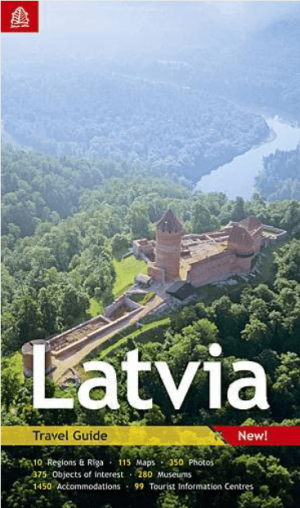
Reisgids Latvia Letland Baltische staten - Jana Seta Publ. • 9789984076010
Reisgids Latvia Letland - Jana Seta Productomschrijving: This edition is provided where you can find useful information about Latvia in general – like history and geography, as well as social things like shopping, driving habits or rest-rooms. Serious information source for those tourists that are interested in deeper knowledge about history and culture of Latvia, therefore history sectio…
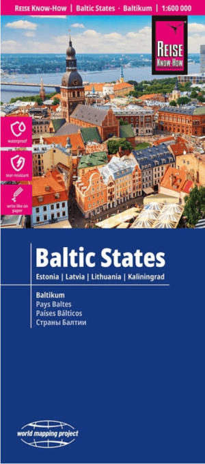
Landkaart Wegenkaart Baltische Staten - Reise Know-How • 9783831775293
Wegenkaart Baltische Staten - Reise Know-How Productomschrijving: De Reise Know-How wegenkaart van Baltische Staten is een betrouwbare, gedetailleerde en duurzame landkaart voor wie Baltische Staten zelfstandig wil verkennen. Deze hoogwaardige reiskaart is ideaal voor gebruik tijdens een rondreis met de auto, camper, motor of fiets en biedt alle informatie die je nodig hebt voor een zorgel…