

Wegenatlas Letland Baltische staten - Jana Seta Publ.
400 pages - 45 Latvian cities - 55,000 house names

Korte omschrijving
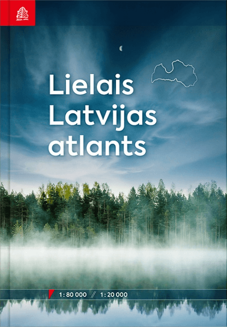
Wegenatlas Letland - Jana Seta Publ. Productomschrijving: The Great Atlas of Latvia is the latest collection of maps about the territory of Latvia. Spanning nearly 400 pages, the atlas pres...

Specificaties
- Uitgever: Jana Seta Map Publishers
- ISBN-13: 9789984077741
- HOOFDCATEGORIEËN: Wegenatlas
- Activiteiten: Street/Road maps & city plans
- Regio: Baltische staten, Europa, Letland, Baltische staten
- Land: Letland, Baltische staten
- Schaal: 1:80000
- Taal: Engels
- Reeks/Serie: Wegenatlassen
Volledige omschrijving
Wegenatlas Letland - Jana Seta Publ.
Productomschrijving: The Great Atlas of Latvia is the latest collection of maps about the territory of Latvia. Spanning nearly 400 pages, the atlas presents the entirety of Latvia on a scale of 1:80,000. One of its greatest values lies in the precise depiction of Latvia’s territory. Additionally, the atlas includes detailed plans for 45 Latvian cities and two villages, presented on a more detailed scale of 1:20,000.
The Atlas features more than 100,000 place names. In addition to all village names, the Atlas also includes over 55,000 house names.
Travelers to Latvia will be delighted by the wealth of natural and cultural-historical objects depicted on the Atlas’s maps. They provide information about forests, caves, large stones, hill forts, cemeteries, churches, and various other features.
The Great Atlas of Latvia was published 12 years after the release of its predecessor. This publication will prove useful for route planners and map enthusiasts, and can also serve as a vital part of emergency equipment.
The Atlas represents the meticulous original work of Jana Seta’s cartographers and is a culmination of the company’s 30 years of experience.
Locatie op kaart
Artikelen uit dezelfde regio
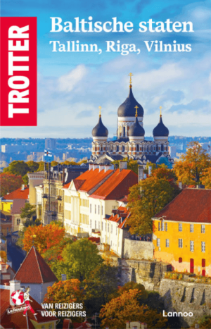
Reisgids Baltische Staten, Tallinn, Vilnius & Riga - Trotter • 9789059962651
Baltische Staten, Tallinn, Vilnius & Riga - Trotter Productomschrijving: De onmisbare gids voor echte trotters Een must voor elke reiziger die de BALTISCHE STATEN Talinn - Vilnius - Riga echt wil beleven - Het echte verhaal achter de klassieke trekpleisters - Tips om de verborgen parels buiten de platgetreden paden te verkennen - Verrassende anekdotes en topervaringen van Trot…
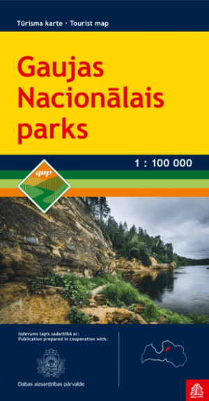
Landkaart Wegenkaart Gaujas Nationaal Park - Jana Seta • 9789984074214
Wegenkaart Gaujas Nationaal Park - Jana Seta Productomschrijving: De kaart bevat informatie over natuur en cultureel erfgoed, alsook mogelijkheden voor toerisme en natuureducatie. Gauja National Park is the oldest and the largest national park in Latvia, established back in 1973. The main purpose of the park was to protect the unique natural treasures – the ancient valley of River Gau…
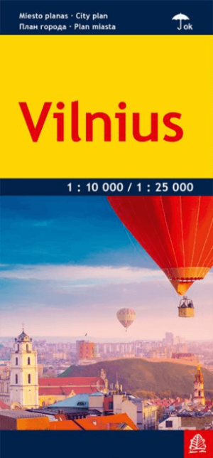
Stadskaart Plattegrond Vilnius Litouwen - Jana Seta Publ. • 9789984075983
Stadskaart Plattegrond Vilnius Litouwen - Jana Seta Productomschrijving: De nieuwe Gelamineerd toeristische stadskaart van de Litouwse stad Vilnius. - Formaat 66 x 48 cm / 11 x 23,7 cm gevouwen - Schaal 1:25'000 / midden in schaal 1:10'000 - Informatie in het Litouws, Engels, Russisch en Pools - Lay-out voor openbaar vervoer - Stratenindex
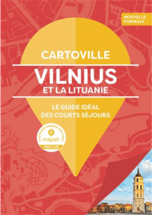
Reisgids Vilnius et la Lituanie - Gallimard • 9782742466061
Vilnius et la Lituanie - Gallimard Productomschrijving: De la Vieille Ville à la porte de l’Aurore, de l’Université à Užupis, mais aussi de la colline des Croix à la flèche de Courlande, Vilnius et la Lituanie se déploient en un clin d’œil avec un guide pas comme les autres. • Un concept unique : une carte dépliable par quartier, pour se repérer immédiatement • Les 10 incontournables…

Wegenatlas Baltische Staten atlas - Jana Seta Publ. • 9789984077413
Baltische Staten wegenatlas - Jana Seta Publ. Productomschrijving: For the first time the road atlas of the Baltic countries is published at scale 1: 200 000. It is the most detailed map atlas covering the entire territory of the Baltic States. Atlas has a new, larger format and a hardback cover. Atlas basemap is supplemented with plans of the 48 largest cities at scale 1: 20 000 as w…